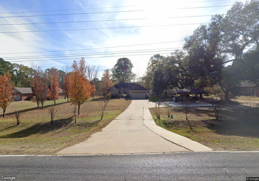
2207 Highway 80 Choudrant, LA 71227
Estimated Value: $245,000 - $259,000
3
Beds
2
Baths
1,376
Sq Ft
$182/Sq Ft
Est. Value
About This Home
This home is located at 2207 Highway 80, Choudrant, LA 71227 and is currently estimated at $250,609, approximately $182 per square foot. 2207 Highway 80 is a home with nearby schools including Choudrant Elementary School, Choudrant High School, and Ruston Junior High School.
Ownership History
Date
Name
Owned For
Owner Type
Purchase Details
Closed on
Jan 22, 2014
Sold by
Croswell Properties L L C
Bought by
Newton Jimmy R and Newton Debra A
Current Estimated Value
Home Financials for this Owner
Home Financials are based on the most recent Mortgage that was taken out on this home.
Original Mortgage
$161,224
Outstanding Balance
$122,088
Interest Rate
4.47%
Mortgage Type
Future Advance Clause Open End Mortgage
Estimated Equity
$128,521
Create a Home Valuation Report for This Property
The Home Valuation Report is an in-depth analysis detailing your home's value as well as a comparison with similar homes in the area
Home Values in the Area
Average Home Value in this Area
Purchase History
| Date | Buyer | Sale Price | Title Company |
|---|---|---|---|
| Newton Jimmy R | $158,000 | Commonwealth Land Title Insu |
Source: Public Records
Mortgage History
| Date | Status | Borrower | Loan Amount |
|---|---|---|---|
| Open | Newton Jimmy R | $161,224 |
Source: Public Records
Tax History Compared to Growth
Tax History
| Year | Tax Paid | Tax Assessment Tax Assessment Total Assessment is a certain percentage of the fair market value that is determined by local assessors to be the total taxable value of land and additions on the property. | Land | Improvement |
|---|---|---|---|---|
| 2024 | $1,645 | $21,296 | $2,853 | $18,443 |
| 2023 | $1,461 | $18,177 | $3,128 | $15,049 |
| 2022 | $1,451 | $18,177 | $3,128 | $15,049 |
| 2021 | $1,427 | $18,177 | $3,128 | $15,049 |
| 2020 | $1,264 | $16,070 | $3,128 | $12,942 |
| 2019 | $1,327 | $16,620 | $3,128 | $13,492 |
| 2018 | $1,328 | $16,620 | $3,128 | $13,492 |
| 2017 | $1,331 | $16,620 | $3,128 | $13,492 |
| 2016 | $1,359 | $0 | $0 | $0 |
| 2015 | $1,252 | $14,159 | $2,589 | $11,570 |
| 2013 | $8 | $64 | $64 | $0 |
Source: Public Records
Map
Nearby Homes
- 219 Lamar Rd
- 510 Louisiana 556
- 112 Tes Dr
- 500 Hogan Rd
- 134 Twin Creeks Bend
- 00 Par Road 43
- 190 Loring Bend
- 00 Cheatwood Rd
- 208 Cherrybark Way
- 1072 Longstraw Rd
- 0B Shortstraw Par Road 404
- 0 Shortstraw Rd Par Road 404
- 0A Shortstraw R Par Road 404
- 0C SHortstraw Par Road 404
- 407 Highway 821
- 425 Highway 821
- 448 Loblolly Ln
- 0 Bradford Rd
- 0 Spillers Rd
- 2420 Highway 556