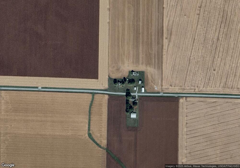
22070 N 1900th Rd Bushnell, IL 61422
Estimated Value: $61,732 - $167,000
--
Bed
--
Bath
--
Sq Ft
0.75
Acres
About This Home
This home is located at 22070 N 1900th Rd, Bushnell, IL 61422 and is currently estimated at $115,933. 22070 N 1900th Rd is a home located in McDonough County with nearby schools including Bushnell-Prairie City Elementary School, Bushnell-Prairie City Junior High School, and Bushnell-Prairie City High School.
Ownership History
Date
Name
Owned For
Owner Type
Purchase Details
Closed on
Sep 22, 2009
Sold by
Krieder Steven M and Mcgrew Beverly L
Bought by
Webb Terry L and Webb Linda J
Current Estimated Value
Home Financials for this Owner
Home Financials are based on the most recent Mortgage that was taken out on this home.
Original Mortgage
$388,000
Outstanding Balance
$111,903
Interest Rate
5.1%
Mortgage Type
Purchase Money Mortgage
Estimated Equity
$4,030
Create a Home Valuation Report for This Property
The Home Valuation Report is an in-depth analysis detailing your home's value as well as a comparison with similar homes in the area
Home Values in the Area
Average Home Value in this Area
Purchase History
| Date | Buyer | Sale Price | Title Company |
|---|---|---|---|
| Webb Terry L | $337,500 | None Available | |
| Pestle Dwight C | $30,000 | None Available |
Source: Public Records
Mortgage History
| Date | Status | Borrower | Loan Amount |
|---|---|---|---|
| Open | Webb Terry L | $388,000 |
Source: Public Records
Tax History Compared to Growth
Tax History
| Year | Tax Paid | Tax Assessment Tax Assessment Total Assessment is a certain percentage of the fair market value that is determined by local assessors to be the total taxable value of land and additions on the property. | Land | Improvement |
|---|---|---|---|---|
| 2024 | $813 | $16,154 | $3,835 | $12,319 |
| 2023 | $778 | $15,983 | $3,794 | $12,189 |
| 2022 | $659 | $14,449 | $3,430 | $11,019 |
| 2021 | $612 | $13,834 | $3,284 | $10,550 |
| 2020 | $613 | $16,877 | $3,238 | $13,639 |
| 2019 | $661 | $14,212 | $3,374 | $10,838 |
| 2018 | $664 | $14,510 | $3,445 | $11,065 |
| 2017 | $667 | $14,303 | $3,396 | $10,907 |
| 2016 | $588 | $13,225 | $3,140 | $10,085 |
| 2015 | $599 | $13,225 | $3,140 | $10,085 |
| 2014 | $639 | $13,023 | $3,092 | $9,931 |
| 2013 | $631 | $14,067 | $3,340 | $10,727 |
Source: Public Records
Map
Nearby Homes
- 777 Cole St
- 994 N Crafford St
- 924 N Crafford St
- 14 Hillcrest Dr
- 651 N Sperry St
- 4 Hiel Dr
- 1024 W Main St
- 134 W Osborne St
- 295 W Harris Ave
- 195 W Hail St
- 555 N Jackson St
- 310 N Dean St
- 651 N Washington St
- 425 N Jackson St
- 539 W Barnes St
- 22561 N Cornerstone Rd
- 20620 N 2300th Rd
- 300 S Park St
- 235 N Smith St
- 18520 N 1450th Rd
- 22075 N 1900th Rd
- 22460 N 1900th Rd
- 22170 N 1850th Rd
- 22210 N 1850th Rd
- 21415 N 1900th Rd
- 21375 N 1900th Rd
- 836 E Osborne St
- 873 E Twyman St
- 882 Harrison St
- 868 Harrison St
- 1095 Miller St
- 887 Harrison St
- 827 E Twyman St
- 825 E Twyman St
- 811 E Twyman St
- 760 E Osborne St
- 1083 Miller St
- 21345 N 1900th Rd
- 890 E Twyman St