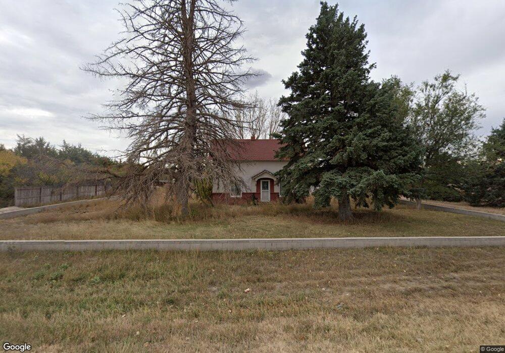
220701 E 42nd St Scottsbluff, NE 69361
Estimated Value: $174,000 - $300,000
3
Beds
1
Bath
1,288
Sq Ft
$161/Sq Ft
Est. Value
About This Home
This home is located at 220701 E 42nd St, Scottsbluff, NE 69361 and is currently estimated at $207,603, approximately $161 per square foot. 220701 E 42nd St is a home located in Scotts Bluff County with nearby schools including Longfellow Elementary School, Bluffs Middle School, and Scottsbluff Senior High School.
Ownership History
Date
Name
Owned For
Owner Type
Purchase Details
Closed on
Jan 23, 2023
Sold by
Quindt Jonathan N
Bought by
Quindt V Frederick
Current Estimated Value
Home Financials for this Owner
Home Financials are based on the most recent Mortgage that was taken out on this home.
Original Mortgage
$77,000
Outstanding Balance
$71,430
Interest Rate
6.33%
Mortgage Type
Credit Line Revolving
Estimated Equity
$136,173
Purchase Details
Closed on
Jun 19, 2015
Sold by
Quindt Fred D and Novell Juanita M
Bought by
Quindt Jonathan N
Home Financials for this Owner
Home Financials are based on the most recent Mortgage that was taken out on this home.
Original Mortgage
$65,000
Interest Rate
5.25%
Mortgage Type
Adjustable Rate Mortgage/ARM
Create a Home Valuation Report for This Property
The Home Valuation Report is an in-depth analysis detailing your home's value as well as a comparison with similar homes in the area
Home Values in the Area
Average Home Value in this Area
Purchase History
| Date | Buyer | Sale Price | Title Company |
|---|---|---|---|
| Quindt V Frederick | $77,000 | Nebraska Title | |
| Quindt Jonathan N | $90,000 | None Available |
Source: Public Records
Mortgage History
| Date | Status | Borrower | Loan Amount |
|---|---|---|---|
| Open | Quindt V Frederick | $77,000 | |
| Previous Owner | Quindt Jonathan N | $65,000 |
Source: Public Records
Tax History Compared to Growth
Tax History
| Year | Tax Paid | Tax Assessment Tax Assessment Total Assessment is a certain percentage of the fair market value that is determined by local assessors to be the total taxable value of land and additions on the property. | Land | Improvement |
|---|---|---|---|---|
| 2024 | $1,177 | $106,480 | $20,320 | $86,160 |
| 2023 | $1,540 | $83,303 | $13,200 | $70,103 |
| 2022 | $1,540 | $83,303 | $13,200 | $70,103 |
| 2021 | $1,481 | $78,782 | $13,200 | $65,582 |
| 2020 | $1,379 | $72,910 | $13,200 | $59,710 |
| 2019 | $1,361 | $72,043 | $13,710 | $58,333 |
| 2018 | $1,317 | $69,265 | $13,710 | $55,555 |
| 2017 | $1,267 | $66,394 | $13,710 | $52,684 |
| 2016 | $1,242 | $65,000 | $13,710 | $51,290 |
| 2015 | $1,204 | $63,506 | $13,710 | $49,796 |
| 2014 | $1,032 | $58,571 | $13,710 | $44,861 |
| 2012 | -- | $57,265 | $13,710 | $43,555 |
Source: Public Records
Map
Nearby Homes
- 908 E 42nd St Unit 4020 Hilltop Place
- 1523 Idlewylde Dr
- 3327 Lilac Dr
- 1201 Larkspur Dr
- 1101 Primrose Dr
- 3216 Bluebell Ct
- 230550 Cr J Unit 230540 CR J
- 512 E 35th St
- TBD Hillcrest Dr
- 1917 E 29th St
- 701 Valley View Dr
- 3428 Cary Ct
- TBD E 27th St
- 2805 5th Ave
- 60260 Nebraska 71
- TBD U S Highway 26
- 3415 Ross Ave
- Lot 1 31st St
- 2420 Circle Dr
- 2618 4th Ave
- 220805 E 42nd St
- 220911 E 42nd St
- 90014 Sugar Factory Rd
- 90156 Sugar Factory Rd
- 220487 E 42nd St
- 220453 E 42nd St
- TBD County Road J
- 4100 12th Ave
- 1201 E 38th St
- 220375 E 42nd St
- 1202 E 38th St
- 1119 E 38th St
- 3719 12th Ave
- 90324 Sugar Factory Rd
- 3713 12th Ave
- 1107 E 38th St
- 1116 E 38th St
- 3707 12th Ave
- 1101 E 38th St
- 3718 12th Ave