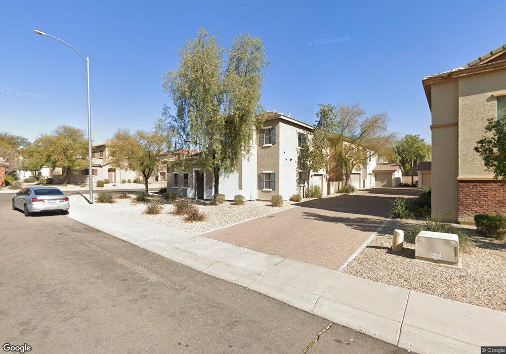
22075 N 103rd Ln Unit 451 Peoria, AZ 85383
Estimated Value: $346,000 - $367,000
3
Beds
3
Baths
1,375
Sq Ft
$258/Sq Ft
Est. Value
About This Home
This home is located at 22075 N 103rd Ln Unit 451, Peoria, AZ 85383 and is currently estimated at $355,177, approximately $258 per square foot. 22075 N 103rd Ln Unit 451 is a home located in Maricopa County with nearby schools including Sunset Heights Elementary School, Liberty High School, and Candeo Peoria.
Ownership History
Date
Name
Owned For
Owner Type
Purchase Details
Closed on
Jan 16, 2012
Sold by
Woolf Robert E and Woolf Kathleen B
Bought by
Hunter Mill Properties Llc
Current Estimated Value
Purchase Details
Closed on
Nov 3, 2011
Sold by
Woolf Kathleen B
Bought by
Woolf Robert E
Purchase Details
Closed on
Jun 13, 2007
Sold by
Engle/Sunbelt Llc
Bought by
Kennedy Vance H and Kennedy Wendy W
Home Financials for this Owner
Home Financials are based on the most recent Mortgage that was taken out on this home.
Original Mortgage
$184,600
Interest Rate
8.37%
Mortgage Type
New Conventional
Purchase Details
Closed on
Jan 31, 2006
Sold by
Tousa Homes Inc
Bought by
Engle/Sunbelt Llc
Purchase Details
Closed on
Jan 23, 2006
Sold by
Lancelot Casa Llc
Bought by
Tousa Homes Inc
Create a Home Valuation Report for This Property
The Home Valuation Report is an in-depth analysis detailing your home's value as well as a comparison with similar homes in the area
Home Values in the Area
Average Home Value in this Area
Purchase History
| Date | Buyer | Sale Price | Title Company |
|---|---|---|---|
| Hunter Mill Properties Llc | -- | Stewart Title & Trust Of Pho | |
| Woolf Robert E | -- | Security Title Agency | |
| Woolf Robert | $87,500 | Security Title Agency | |
| Kennedy Vance H | $205,150 | Universal Land Title Agency | |
| Engle/Sunbelt Llc | $1,942,573 | First American Title | |
| Tousa Homes Inc | $685,825 | First American Title |
Source: Public Records
Mortgage History
| Date | Status | Borrower | Loan Amount |
|---|---|---|---|
| Previous Owner | Kennedy Vance H | $184,600 |
Source: Public Records
Tax History Compared to Growth
Tax History
| Year | Tax Paid | Tax Assessment Tax Assessment Total Assessment is a certain percentage of the fair market value that is determined by local assessors to be the total taxable value of land and additions on the property. | Land | Improvement |
|---|---|---|---|---|
| 2025 | $1,266 | $13,289 | -- | -- |
| 2024 | $1,240 | $12,656 | -- | -- |
| 2023 | $1,240 | $27,370 | $5,470 | $21,900 |
| 2022 | $1,215 | $20,520 | $4,100 | $16,420 |
| 2021 | $1,271 | $18,910 | $3,780 | $15,130 |
| 2020 | $1,280 | $17,230 | $3,440 | $13,790 |
| 2019 | $1,242 | $16,270 | $3,250 | $13,020 |
| 2018 | $1,196 | $14,720 | $2,940 | $11,780 |
| 2017 | $1,194 | $13,430 | $2,680 | $10,750 |
| 2016 | $1,180 | $11,670 | $2,330 | $9,340 |
| 2015 | $1,099 | $11,810 | $2,360 | $9,450 |
Source: Public Records
Map
Nearby Homes
- 10296 W Sands Dr Unit 485
- 10370 W Sands Dr Unit 463
- 10328 W Carlota Ln
- 10456 W Los Gatos Dr
- 10172 W Carlota Ln
- 21479 N 104th Dr
- 22173 N 101st Dr
- 10446 W Lone Cactus Dr
- 10447 W Lone Cactus Dr
- 21379 N 105th Ave
- 21978 N 100th Ave
- 10226 W Country Club Trail
- 22729 N 103rd Ln
- 22341 N 100th Ln
- 00000 W Westwind Dr Unit 201-08-428
- 22556 N 100th Ave
- 22322 N 108th Ave
- 10004 W Sugar Sand Ln
- 9978 W Sugar Sand Ln
- 10368 W Ross Ave
- 22075 N 103rd Ln Unit 454
- 22075 N 103rd Ln Unit 452
- 22075 N 103rd Ln Unit 455
- 22075 N 103rd Ln Unit 453
- 22075 N 103rd Ln Unit 450
- 22075 N 103rd Ln
- 10325 W Sands Dr
- 10325 W Sands Dr Unit 461
- 10325 W Sands Dr Unit 456
- 10325 W Sands Dr Unit 459
- 10325 W Sands Dr Unit 460
- 10325 W Sands Dr Unit 458
- 10325 W Sands Dr Unit 457
- 22025 N 103rd Ln Unit 445
- 22025 N 103rd Ln Unit 444
- 22025 N 103rd Ln Unit 446
- 22025 N 103rd Ln Unit 448
- 22025 N 103rd Ln Unit 449
- 22025 N 103rd Ln Unit 447
- 10324 W Sands Dr