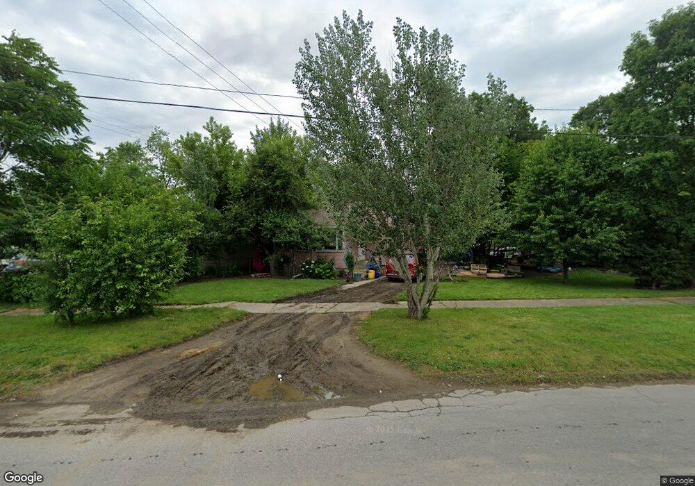
2208 Branch Rd Flint, MI 48506
Potter Longway NeighborhoodEstimated Value: $39,000 - $71,000
3
Beds
1
Bath
1,011
Sq Ft
$58/Sq Ft
Est. Value
About This Home
This home is located at 2208 Branch Rd, Flint, MI 48506 and is currently estimated at $58,159, approximately $57 per square foot. 2208 Branch Rd is a home located in Genesee County with nearby schools including Potter School, Richfield Public School Academy, and Richfield Early Learning Center.
Ownership History
Date
Name
Owned For
Owner Type
Purchase Details
Closed on
Jul 16, 2022
Sold by
Heather Lukasik Hope
Bought by
Shack Autumn Marie
Current Estimated Value
Purchase Details
Closed on
Oct 15, 2008
Sold by
The Estate Of Dahlia V Pletscher
Bought by
Smith Hope
Home Financials for this Owner
Home Financials are based on the most recent Mortgage that was taken out on this home.
Original Mortgage
$33,200
Interest Rate
5.06%
Mortgage Type
Purchase Money Mortgage
Create a Home Valuation Report for This Property
The Home Valuation Report is an in-depth analysis detailing your home's value as well as a comparison with similar homes in the area
Home Values in the Area
Average Home Value in this Area
Purchase History
| Date | Buyer | Sale Price | Title Company |
|---|---|---|---|
| Shack Autumn Marie | -- | None Listed On Document | |
| Smith Hope | $36,900 | Sky Title Agency |
Source: Public Records
Mortgage History
| Date | Status | Borrower | Loan Amount |
|---|---|---|---|
| Previous Owner | Smith Hope | $33,200 |
Source: Public Records
Tax History Compared to Growth
Tax History
| Year | Tax Paid | Tax Assessment Tax Assessment Total Assessment is a certain percentage of the fair market value that is determined by local assessors to be the total taxable value of land and additions on the property. | Land | Improvement |
|---|---|---|---|---|
| 2025 | $1,323 | $26,800 | $0 | $0 |
| 2024 | $1,186 | $24,200 | $0 | $0 |
| 2023 | $1,159 | $18,900 | $0 | $0 |
| 2022 | $0 | $14,900 | $0 | $0 |
| 2021 | $716 | $13,900 | $0 | $0 |
| 2020 | $654 | $11,800 | $0 | $0 |
| 2019 | $642 | $8,000 | $0 | $0 |
| 2018 | $639 | $8,100 | $0 | $0 |
| 2017 | $688 | $0 | $0 | $0 |
| 2016 | $684 | $0 | $0 | $0 |
| 2015 | -- | $0 | $0 | $0 |
| 2014 | -- | $0 | $0 | $0 |
| 2012 | -- | $12,400 | $0 | $0 |
Source: Public Records
Map
Nearby Homes
- 3149 Whittier Ave
- 3205 Holly Ave
- 3220 Woodrow Ave
- 3116 Beechwood Ave
- 3232 Dale Ave
- 2719 Branch Rd
- 3214 Maryland Ave
- 3401 Davison Rd
- 3514 Whittier Ave
- 2211 Torrance St
- 2426 Hoff St
- 3617 Churchill Ave
- 3617 Davison Rd
- 3421 Brewster St
- 3713 Risedorph Ave
- 3602 Dakota Ave
- 3730 Holly Ave
- 1414 Earlmoor Blvd
- 1324 Earlmoor Blvd
- 3739 Marmion Ave
- 3118 Whittier Ave
- 2212 Branch Rd
- 3115 Bennett Ave
- 3126 Whittier Ave
- 3119 Bennett Ave
- 2112 Branch Rd
- 3123 Bennett Ave
- 3116 Bennett Ave
- 3117 Whittier Ave
- 3134 Whittier Ave
- 3113 Whittier Ave
- 3125 Whittier Ave
- 3127 Bennett Ave
- 3129 Whittier Ave
- 3138 Whittier Ave
- 2302 Branch Rd
- 3120 Bennett Ave
- 3133 Whittier Ave
- 3131 Bennett Ave
- 3101 Holly Ave