2208 Independence Dr Unit A75 Austin, TX 78745
Cherry Creek NeighborhoodEstimated Value: $580,938 - $652,000
--
Bed
4
Baths
2,341
Sq Ft
$263/Sq Ft
Est. Value
About This Home
This home is located at 2208 Independence Dr Unit A75, Austin, TX 78745 and is currently estimated at $616,485, approximately $263 per square foot. 2208 Independence Dr Unit A75 is a home located in Travis County with nearby schools including Cunningham Elementary School, Covington Middle School, and Crockett High School.
Ownership History
Date
Name
Owned For
Owner Type
Purchase Details
Closed on
Feb 29, 2008
Sold by
Newmark Homes Lp
Bought by
Hofmann Johann and Doernhofer Annette
Current Estimated Value
Home Financials for this Owner
Home Financials are based on the most recent Mortgage that was taken out on this home.
Original Mortgage
$241,771
Outstanding Balance
$150,134
Interest Rate
5.68%
Mortgage Type
Purchase Money Mortgage
Estimated Equity
$466,351
Purchase Details
Closed on
Sep 25, 2007
Sold by
Castletop Independence Ltd
Bought by
Newmark Homes Lp
Create a Home Valuation Report for This Property
The Home Valuation Report is an in-depth analysis detailing your home's value as well as a comparison with similar homes in the area
Home Values in the Area
Average Home Value in this Area
Purchase History
| Date | Buyer | Sale Price | Title Company |
|---|---|---|---|
| Hofmann Johann | -- | Universal Land Title Of Tx | |
| Newmark Homes Lp | -- | Universal Land Title |
Source: Public Records
Mortgage History
| Date | Status | Borrower | Loan Amount |
|---|---|---|---|
| Open | Hofmann Johann | $241,771 |
Source: Public Records
Tax History Compared to Growth
Tax History
| Year | Tax Paid | Tax Assessment Tax Assessment Total Assessment is a certain percentage of the fair market value that is determined by local assessors to be the total taxable value of land and additions on the property. | Land | Improvement |
|---|---|---|---|---|
| 2025 | $9,423 | $535,942 | $135,299 | $400,643 |
| 2023 | $8,272 | $557,460 | $0 | $0 |
| 2022 | $10,009 | $506,782 | $0 | $0 |
| 2021 | $10,028 | $460,711 | $90,199 | $370,512 |
| 2020 | $8,986 | $418,943 | $90,199 | $328,744 |
| 2018 | $9,083 | $410,249 | $63,139 | $347,110 |
| 2017 | $8,588 | $385,080 | $63,139 | $321,941 |
| 2016 | $8,283 | $371,394 | $63,139 | $308,255 |
| 2015 | $6,800 | $339,633 | $63,139 | $282,953 |
| 2014 | $6,800 | $308,757 | $0 | $0 |
Source: Public Records
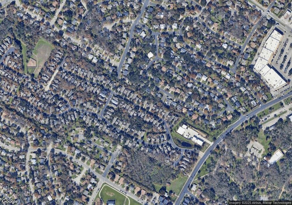
Map
Nearby Homes
- 2200 Amur Dr Unit B35
- 2204 Falcon Hill Dr
- 2301 Brookhill Dr
- 6203 Berkett Cove Unit A & B
- 2408 Amur Dr Unit B48
- 6020 Rutledge Ln
- 2509 Lightfoot Trail Unit B70
- 6225 Hillston Dr
- 2520 Baxter Dr
- 5702 Buffalo Pass
- 2608 Coatbridge Dr
- 1906 Parkside Ln
- 2512 Mcgregor Dr
- 6101 Bridlington Cir
- 5418 Fairmont Cir
- 1928 Miles Ave Unit 2
- 1928 Miles Ave Unit 1
- 5706 Cherry Creek Dr
- 6404 Blarwood Dr
- 6609 Boleynwood Dr
- 2204 Independence Dr Unit A74
- 2200 Independence Dr Unit A73
- 2212 Independence Dr Unit A76
- 2216 Independence Dr Unit A77
- 2216 Independence Dr Unit A47
- 2216 Independence Dr
- 2140 Independence Dr Unit A72
- 2220 Independence Dr Unit A78
- 2303 Falcon Hill Dr
- 2305 Falcon Hill Dr
- 2136 Independence Dr
- 2136 Independence Dr Unit A71
- 2209 Independence Dr Unit A58
- 2205 Independence Dr Unit A57
- 2301 Falcon Hill Dr
- 2201 Independence Dr Unit A56
- 2213 Independence Dr Unit A59
- 2224 Independence Dr Unit A79
- 2217 Independence Dr Unit A60
- 2141 Independence Dr Unit A55