Estimated Value: $187,000 - $243,000
3
Beds
1
Bath
1,081
Sq Ft
$201/Sq Ft
Est. Value
About This Home
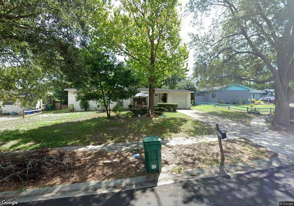
This home is located at 2208 Iona Dr, Cocoa, FL 32926 and is currently estimated at $217,255, approximately $200 per square foot. 2208 Iona Dr is a home located in Brevard County with nearby schools including Cocoa High School, Cambridge Elementary Magnet School, and Space Coast Christian Academy.
Ownership History
Date
Name
Owned For
Owner Type
Purchase Details
Closed on
Oct 14, 2020
Sold by
Spearman Guy M
Bought by
Spearman Guy M and Spearman Guy M
Current Estimated Value
Purchase Details
Closed on
Jan 23, 2009
Sold by
Gorski Karl F and Gorski Susan
Bought by
Spearman Guy M
Purchase Details
Closed on
Mar 12, 2002
Sold by
Moscoso Gerald and Moscoso Kelly W
Bought by
Gorski Karl F
Home Financials for this Owner
Home Financials are based on the most recent Mortgage that was taken out on this home.
Original Mortgage
$74,136
Interest Rate
6.98%
Mortgage Type
Purchase Money Mortgage
Create a Home Valuation Report for This Property
The Home Valuation Report is an in-depth analysis detailing your home's value as well as a comparison with similar homes in the area
Home Values in the Area
Average Home Value in this Area
Purchase History
| Date | Buyer | Sale Price | Title Company |
|---|---|---|---|
| Spearman Guy M | -- | Accommodation | |
| Spearman Guy M | $91,000 | Fidelity National Title Insu | |
| Gorski Karl F | $75,300 | -- |
Source: Public Records
Mortgage History
| Date | Status | Borrower | Loan Amount |
|---|---|---|---|
| Previous Owner | Gorski Karl F | $74,136 |
Source: Public Records
Tax History
| Year | Tax Paid | Tax Assessment Tax Assessment Total Assessment is a certain percentage of the fair market value that is determined by local assessors to be the total taxable value of land and additions on the property. | Land | Improvement |
|---|---|---|---|---|
| 2025 | $2,816 | $149,310 | -- | -- |
| 2024 | $2,521 | $172,150 | -- | -- |
| 2023 | $2,521 | $141,090 | $0 | $0 |
| 2022 | $2,156 | $122,340 | $0 | $0 |
| 2021 | $1,952 | $93,270 | $40,000 | $53,270 |
| 2020 | $1,804 | $88,090 | $37,000 | $51,090 |
| 2019 | $1,694 | $80,980 | $37,000 | $43,980 |
| 2018 | $1,524 | $79,510 | $35,000 | $44,510 |
| 2017 | $1,403 | $66,770 | $30,000 | $36,770 |
| 2016 | $1,293 | $55,970 | $19,000 | $36,970 |
| 2015 | $1,201 | $48,540 | $19,000 | $29,540 |
| 2014 | $1,128 | $46,920 | $19,000 | $27,920 |
Source: Public Records
Map
Nearby Homes
- 2319 Elon Dr
- Xxx Rosetine St
- 0000 Null Unknown
- 2500 Fairfield Dr
- 0 University Ln
- 1417 Walter St
- 2515 Fairfield Dr
- 0000 Unknown
- 00 N Unknown
- 2426 Granville Dr
- 1644 Ruth St
- 2413 Cherbourg Rd
- 2430 Legay St
- 1354 S Stetson Dr
- 2029 Ivy Dr
- 2111 Otterbein Ave
- 1326 Stetson Ct
- 1509 Tate St
- 1933 Quail Ridge Ct Unit 1101
- 1612 Calvados Dr
Your Personal Tour Guide
Ask me questions while you tour the home.