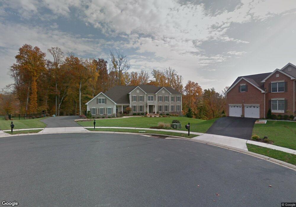
2208 Tall Cedar Ct Bel Air, MD 21015
Estimated Value: $1,051,000 - $1,791,000
--
Bed
6
Baths
6,285
Sq Ft
$209/Sq Ft
Est. Value
About This Home
This home is located at 2208 Tall Cedar Ct, Bel Air, MD 21015 and is currently estimated at $1,314,870, approximately $209 per square foot. 2208 Tall Cedar Ct is a home located in Harford County with nearby schools including Homestead-Wakefield Elementary School, Patterson Mill Middle School, and Patterson Mill High School.
Ownership History
Date
Name
Owned For
Owner Type
Purchase Details
Closed on
Nov 15, 2007
Sold by
Toll Md Vi Limited Partnership
Bought by
Benfield David and Benfield Caroline
Current Estimated Value
Home Financials for this Owner
Home Financials are based on the most recent Mortgage that was taken out on this home.
Original Mortgage
$600,000
Outstanding Balance
$381,970
Interest Rate
6.5%
Mortgage Type
Purchase Money Mortgage
Estimated Equity
$932,900
Purchase Details
Closed on
Oct 31, 2007
Sold by
Toll Md Vi Limited Partnership
Bought by
Benfield David and Benfield Caroline
Home Financials for this Owner
Home Financials are based on the most recent Mortgage that was taken out on this home.
Original Mortgage
$600,000
Outstanding Balance
$381,970
Interest Rate
6.5%
Mortgage Type
Purchase Money Mortgage
Estimated Equity
$932,900
Create a Home Valuation Report for This Property
The Home Valuation Report is an in-depth analysis detailing your home's value as well as a comparison with similar homes in the area
Home Values in the Area
Average Home Value in this Area
Purchase History
| Date | Buyer | Sale Price | Title Company |
|---|---|---|---|
| Benfield David | $1,197,548 | -- | |
| Benfield David | $1,197,548 | -- |
Source: Public Records
Mortgage History
| Date | Status | Borrower | Loan Amount |
|---|---|---|---|
| Open | Benfield David | $600,000 | |
| Closed | Benfield David | $600,000 |
Source: Public Records
Tax History Compared to Growth
Tax History
| Year | Tax Paid | Tax Assessment Tax Assessment Total Assessment is a certain percentage of the fair market value that is determined by local assessors to be the total taxable value of land and additions on the property. | Land | Improvement |
|---|---|---|---|---|
| 2025 | $10,219 | $977,800 | $0 | $0 |
| 2024 | $10,219 | $937,600 | $0 | $0 |
| 2023 | $9,781 | $897,400 | $186,300 | $711,100 |
| 2022 | $9,626 | $883,200 | $0 | $0 |
| 2021 | $9,864 | $869,000 | $0 | $0 |
| 2020 | $9,864 | $854,800 | $186,300 | $668,500 |
| 2019 | $9,819 | $850,867 | $0 | $0 |
| 2018 | $9,685 | $846,933 | $0 | $0 |
| 2017 | $9,640 | $843,000 | $0 | $0 |
| 2016 | $140 | $843,000 | $0 | $0 |
| 2015 | $10,706 | $843,000 | $0 | $0 |
| 2014 | $10,706 | $865,400 | $0 | $0 |
Source: Public Records
Map
Nearby Homes
- 706 Clearview Dr
- 712 Cedarday Dr
- 809 Cedar Ln
- 928 Fenario Cir
- 2803 Moorgrass Ct
- 2537 Monarch Way
- 2815 12 Stones Rd
- 2638 Smallwood Dr
- 511 Cedar Hill Ct
- 2605 Colpepper Rd
- 607 E Wheel Rd
- 2406 Monarch Way
- 603 E Wheel Rd Unit (11.65 ACRES)
- 603 E Wheel Rd
- 2000 Treese Unit DEVONSHIRE
- 2000 Treese Unit COVINGTON
- 2000 Treese Unit MAGNOLIA
- 2000 Treese Unit SAVANNAH
- 741 Burgh Westra Way
- Kipling Plan at Laurel Oaks
- 2205 Tall Cedar Ct
- 2202 Tall Cedar Ct
- 2200 Tall Cedar Ct
- 2204 Tall Cedar Ct
- 908 Cedarday Dr
- 2203 Tall Cedar Ct
- 912 Cedarday Dr
- 906 Cedarday Dr
- 2206 Tall Cedar Ct
- 914 Cedarday Dr
- 909 Oriole Ct
- 917 Ridgecrest Way
- 909 Cedarday Dr
- 904 Cedarday Dr
- 907 Cedarday Dr
- 915 Ridgecrest Way
- 911 Cedarday Dr
- 908 Oriole Ct
- 905 Cedarday Dr
- 907 Oriole Ct