Estimated Value: $295,000 - $358,000
3
Beds
1
Bath
1,631
Sq Ft
$203/Sq Ft
Est. Value
About This Home
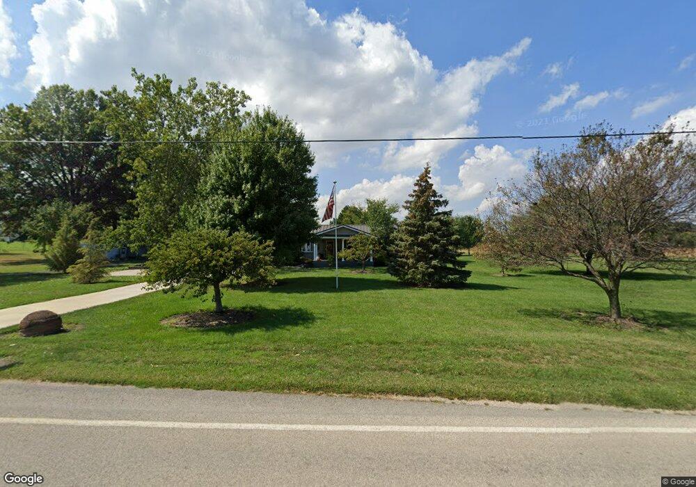
This home is located at 2209 Camp Rd, Huron, OH 44839 and is currently estimated at $330,936, approximately $202 per square foot. 2209 Camp Rd is a home located in Erie County with nearby schools including Woodlands Intermediate School, Shawnee Elementary School, and McCormick Junior High School.
Ownership History
Date
Name
Owned For
Owner Type
Purchase Details
Closed on
Jun 30, 2025
Sold by
Gundlach Becki A and Camp Michael E
Bought by
Camp Michael E and Camp Becki A
Current Estimated Value
Home Financials for this Owner
Home Financials are based on the most recent Mortgage that was taken out on this home.
Original Mortgage
$320,000
Outstanding Balance
$319,462
Interest Rate
6.89%
Mortgage Type
VA
Estimated Equity
$11,474
Purchase Details
Closed on
Oct 1, 2020
Sold by
Camp Michael E and Camp Becki A
Bought by
Barnes Nursery Inc
Home Financials for this Owner
Home Financials are based on the most recent Mortgage that was taken out on this home.
Original Mortgage
$127,500
Interest Rate
2.9%
Mortgage Type
New Conventional
Create a Home Valuation Report for This Property
The Home Valuation Report is an in-depth analysis detailing your home's value as well as a comparison with similar homes in the area
Home Values in the Area
Average Home Value in this Area
Purchase History
| Date | Buyer | Sale Price | Title Company |
|---|---|---|---|
| Camp Michael E | -- | None Listed On Document | |
| Barnes Nursery Inc | $170,000 | Hartung Title Order |
Source: Public Records
Mortgage History
| Date | Status | Borrower | Loan Amount |
|---|---|---|---|
| Open | Camp Michael E | $320,000 | |
| Previous Owner | Barnes Nursery Inc | $127,500 |
Source: Public Records
Tax History
| Year | Tax Paid | Tax Assessment Tax Assessment Total Assessment is a certain percentage of the fair market value that is determined by local assessors to be the total taxable value of land and additions on the property. | Land | Improvement |
|---|---|---|---|---|
| 2024 | $2,822 | $97,184 | $18,203 | $78,981 |
| 2023 | $2,822 | $76,356 | $13,531 | $62,825 |
| 2022 | $2,411 | $76,352 | $13,531 | $62,821 |
| 2021 | $2,405 | $76,350 | $13,530 | $62,820 |
| 2020 | $2,273 | $71,770 | $13,530 | $58,240 |
| 2019 | $2,358 | $71,770 | $13,530 | $58,240 |
| 2018 | $2,370 | $71,770 | $13,530 | $58,240 |
| 2017 | $2,155 | $65,600 | $14,270 | $51,330 |
| 2016 | $2,911 | $65,600 | $14,270 | $51,330 |
| 2015 | $3,005 | $65,600 | $14,270 | $51,330 |
| 2014 | $2,899 | $65,600 | $14,270 | $51,330 |
| 2013 | $2,858 | $65,600 | $14,270 | $51,330 |
Source: Public Records
Map
Nearby Homes
- 712 Elizabeth Dr
- 720 Tracht Meadows Dr
- 6025 Coventry Cir
- 6033 Coventry Cir
- 5013 Coventry Cir
- 5021 Coventry Cir
- 5005 Coventry Cir
- 4070 Coventry Cir
- 5007 Coventry Cir
- 3104 Hull Rd
- 4001 Coventry Ln
- 4115 Boos Rd
- 4115 Boos Rd
- 0 Turfside Cir
- 21 Turfside Cir
- 526 Mariner Village
- 527 Mariner Village
- 645 Mariner Village
- 224 Atwood Place
- 116 Rye Beach Rd
Your Personal Tour Guide
Ask me questions while you tour the home.