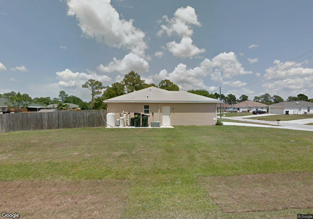
2209 De Vore St North Port, FL 34291
Estimated Value: $215,000 - $264,000
3
Beds
2
Baths
1,284
Sq Ft
$188/Sq Ft
Est. Value
About This Home
This home is located at 2209 De Vore St, North Port, FL 34291 and is currently estimated at $241,813, approximately $188 per square foot. 2209 De Vore St is a home located in Sarasota County with nearby schools including North Port High School, Lamarque Elementary School, and Heron Creek Middle School.
Ownership History
Date
Name
Owned For
Owner Type
Purchase Details
Closed on
Feb 5, 2024
Sold by
Blaney Lydia A
Bought by
Blaney Lydia A
Current Estimated Value
Purchase Details
Closed on
Aug 23, 2000
Sold by
Allstate Builders Sw Fl Inc
Bought by
Blaney Raymond V and Blaney Lydia A
Home Financials for this Owner
Home Financials are based on the most recent Mortgage that was taken out on this home.
Original Mortgage
$97,342
Interest Rate
8.24%
Mortgage Type
FHA
Purchase Details
Closed on
Mar 3, 2000
Sold by
T N R Co Inc
Bought by
Allstate Bldr Sw Fl Inc
Purchase Details
Closed on
Mar 24, 1997
Sold by
Clerk Circuit Court
Bought by
Berman Herbert L
Create a Home Valuation Report for This Property
The Home Valuation Report is an in-depth analysis detailing your home's value as well as a comparison with similar homes in the area
Home Values in the Area
Average Home Value in this Area
Purchase History
| Date | Buyer | Sale Price | Title Company |
|---|---|---|---|
| Blaney Lydia A | $100 | None Listed On Document | |
| Blaney Raymond V | $97,400 | -- | |
| Allstate Bldr Sw Fl Inc | $3,000 | -- | |
| Berman Herbert L | $1,000 | -- |
Source: Public Records
Mortgage History
| Date | Status | Borrower | Loan Amount |
|---|---|---|---|
| Previous Owner | Blaney Raymond V | $97,342 |
Source: Public Records
Tax History Compared to Growth
Tax History
| Year | Tax Paid | Tax Assessment Tax Assessment Total Assessment is a certain percentage of the fair market value that is determined by local assessors to be the total taxable value of land and additions on the property. | Land | Improvement |
|---|---|---|---|---|
| 2024 | $1,172 | $71,098 | -- | -- |
| 2023 | $1,172 | $63,027 | $0 | $0 |
| 2022 | $1,197 | $67,191 | $0 | $0 |
| 2021 | $1,203 | $65,234 | $0 | $0 |
| 2020 | $1,178 | $64,333 | $0 | $0 |
| 2019 | $1,147 | $62,887 | $0 | $0 |
| 2018 | $1,058 | $61,714 | $0 | $0 |
| 2017 | $1,023 | $60,445 | $0 | $0 |
| 2016 | $1,031 | $106,600 | $4,900 | $101,700 |
| 2015 | $1,040 | $88,900 | $3,700 | $85,200 |
| 2014 | $1,014 | $57,461 | $0 | $0 |
Source: Public Records
Map
Nearby Homes
- 0 Cantor Ave Unit MFRA4580410
- Lot 8 Cantor Ave
- LOT 9 Cantor Ave
- LOT 10 Redland Ave
- 2226 Ribble St
- 00 McTague St
- 0 Burwin Ave Unit MFROM710792
- Lot 2 Cantor Ave
- 5412 Royal Poinciana Way
- 0 Kedsie Ave
- xxx Brenmar Ave
- 5923 Giffen Ave
- 2678 Alva St
- 0 Granito Ave Unit MFRA4666346
- 0 Granito Ave Unit A4529825
- 0 Alva St Unit MFRA4653714
- 5748 Giffen Ave
- 00 Alva St
- Xxx Granito Ave
- 4875 Hansard Ave
- 2233 De Vore St
- 2210 McTague St
- 2236 McTague St
- 2208 De Vore St
- 5611 Battersea Ave
- 5635 Battersea Ave
- 2232 De Vore St
- McTague St
- McTague St
- McTague St
- McTague St
- McTague St
- 5587 Battersea Ave
- 2236 De Vore St
- 2256 De Vore St
- 2276 McTague St
- 5695 Battersea Ave
- Lot 37 Battersea Ave
- 2280 De Vore St
- 2304 De Vore St