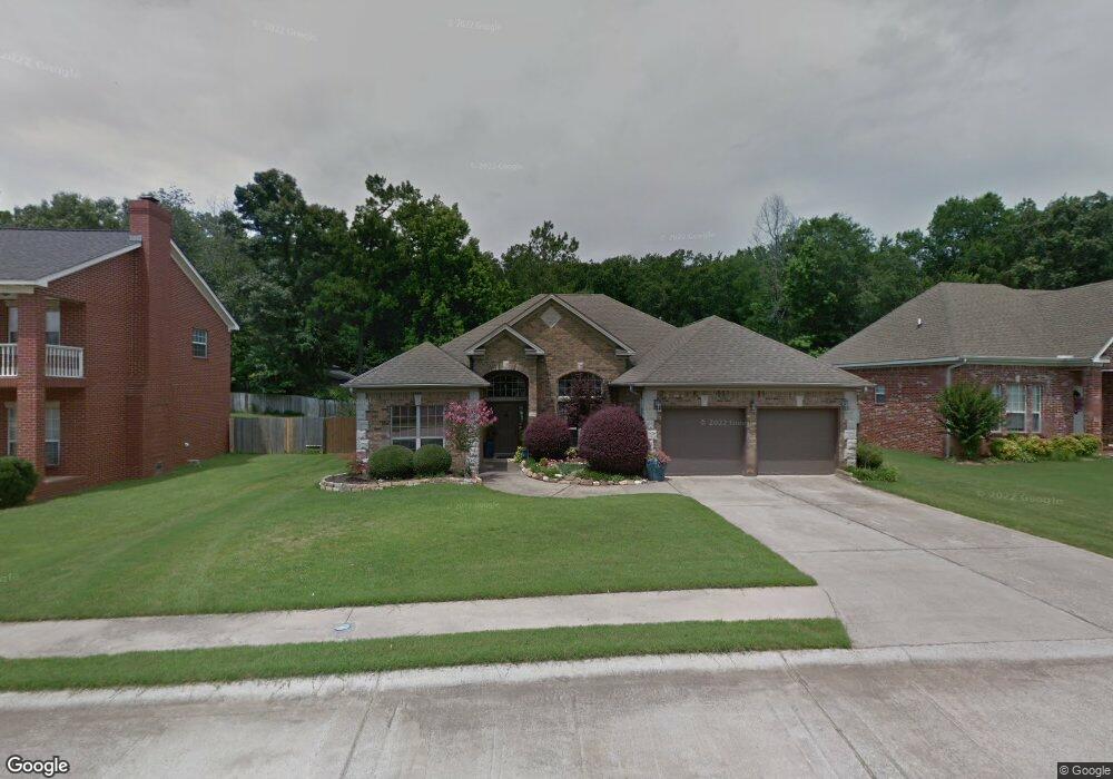
2209 Defoe Cir Bryant, AR 72022
Estimated Value: $287,000 - $307,000
--
Bed
2
Baths
2,106
Sq Ft
$139/Sq Ft
Est. Value
About This Home
This home is located at 2209 Defoe Cir, Bryant, AR 72022 and is currently estimated at $293,630, approximately $139 per square foot. 2209 Defoe Cir is a home located in Saline County with nearby schools including Hill Farm Elementary School, Bryant Middle School, and Bethel Middle School.
Ownership History
Date
Name
Owned For
Owner Type
Purchase Details
Closed on
May 6, 2022
Sold by
Commissioner Of State Lands
Bought by
Keffer Sally C
Current Estimated Value
Purchase Details
Closed on
May 2, 2022
Sold by
Keffer Sally
Bought by
Mccallie Tyler Keith
Purchase Details
Closed on
Aug 15, 2007
Sold by
Saline Investment Group Inc
Bought by
Keffer Sally
Home Financials for this Owner
Home Financials are based on the most recent Mortgage that was taken out on this home.
Original Mortgage
$120,000
Interest Rate
6.69%
Mortgage Type
Future Advance Clause Open End Mortgage
Purchase Details
Closed on
Feb 12, 2004
Bought by
Saline Invest
Purchase Details
Closed on
Sep 7, 1999
Bought by
Rutherford
Create a Home Valuation Report for This Property
The Home Valuation Report is an in-depth analysis detailing your home's value as well as a comparison with similar homes in the area
Home Values in the Area
Average Home Value in this Area
Purchase History
| Date | Buyer | Sale Price | Title Company |
|---|---|---|---|
| Keffer Sally C | $13,616 | None Listed On Document | |
| Mccallie Tyler Keith | $214,200 | Professional Land Title | |
| Mccallie Tyler Keith | $214,200 | Professional Land Title | |
| Keffer Sally | $155,000 | -- | |
| Saline Invest | $158,000 | -- | |
| Rutherford | $156,000 | -- |
Source: Public Records
Mortgage History
| Date | Status | Borrower | Loan Amount |
|---|---|---|---|
| Previous Owner | Keffer Sally | $120,000 |
Source: Public Records
Tax History Compared to Growth
Tax History
| Year | Tax Paid | Tax Assessment Tax Assessment Total Assessment is a certain percentage of the fair market value that is determined by local assessors to be the total taxable value of land and additions on the property. | Land | Improvement |
|---|---|---|---|---|
| 2025 | $2,570 | $48,042 | $8,750 | $39,292 |
| 2024 | $2,344 | $48,042 | $8,750 | $39,292 |
| 2023 | $2,145 | $48,042 | $8,750 | $39,292 |
| 2022 | $1,763 | $48,042 | $8,750 | $39,292 |
| 2021 | $2,044 | $39,000 | $7,000 | $32,000 |
| 2020 | $2,044 | $39,000 | $7,000 | $32,000 |
| 2019 | $2,044 | $39,000 | $7,000 | $32,000 |
| 2018 | $2,044 | $39,000 | $7,000 | $32,000 |
| 2017 | $2,044 | $39,000 | $7,000 | $32,000 |
| 2016 | $1,805 | $36,980 | $7,000 | $29,980 |
| 2015 | $1,805 | $36,980 | $7,000 | $29,980 |
| 2014 | $1,805 | $36,980 | $7,000 | $29,980 |
Source: Public Records
Map
Nearby Homes
- 2713 Johnswood Village Dr
- 15618 Linden Dr
- 3458 Garden Club Dr
- 1002 Hunter Lee Dr
- 3104 Debra Gaye Dr
- 3200 Robbins Dr
- 3213 Robbins Dr
- 511 Holly Lynn Dr
- 3318 Moss Creek Dr
- 708 Pattywood Dr
- 3418 Lacross Dr
- 3413 N Cresent Dr
- 6089 Saddle Hill Dr
- 7009 Woodsgate Cove
- 2193 Fern Valley Dr
- 5001 Woodstream Dr
- 600 Bristol Dr
- 32-acres Bryant Parkway I 30 and Hwy 5
- 15315 Birch Dr
- 86 Bame Cir Unit 1