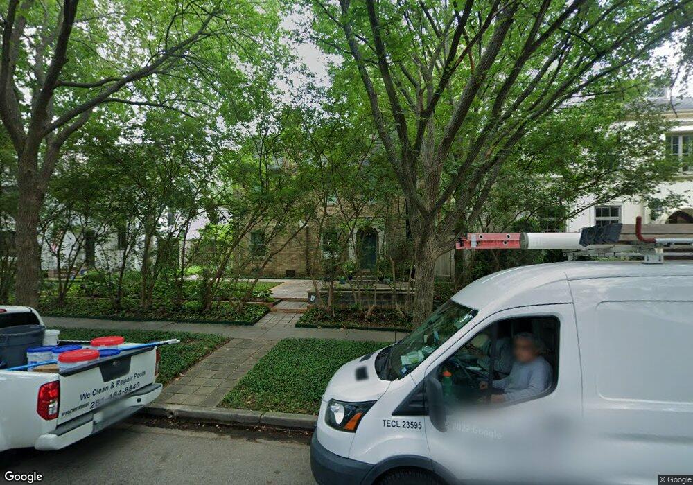
2209 Dunstan Rd Houston, TX 77005
University Place NeighborhoodEstimated Value: $1,654,614 - $1,930,000
4
Beds
4
Baths
3,584
Sq Ft
$498/Sq Ft
Est. Value
About This Home
This home is located at 2209 Dunstan Rd, Houston, TX 77005 and is currently estimated at $1,786,154, approximately $498 per square foot. 2209 Dunstan Rd is a home located in Harris County with nearby schools including Poe Elementary School, Lanier Middle School, and Lamar High School.
Ownership History
Date
Name
Owned For
Owner Type
Purchase Details
Closed on
Jun 21, 2021
Sold by
Beckham Thomas
Bought by
Beckham Thomas and Richards Rocco
Current Estimated Value
Create a Home Valuation Report for This Property
The Home Valuation Report is an in-depth analysis detailing your home's value as well as a comparison with similar homes in the area
Home Values in the Area
Average Home Value in this Area
Purchase History
| Date | Buyer | Sale Price | Title Company |
|---|---|---|---|
| Beckham Thomas | -- | None Listed On Document | |
| Beckham Thomas | -- | None Listed On Document |
Source: Public Records
Tax History Compared to Growth
Tax History
| Year | Tax Paid | Tax Assessment Tax Assessment Total Assessment is a certain percentage of the fair market value that is determined by local assessors to be the total taxable value of land and additions on the property. | Land | Improvement |
|---|---|---|---|---|
| 2025 | $17,985 | $1,589,556 | $1,047,750 | $541,806 |
| 2024 | $17,985 | $1,522,598 | $1,047,750 | $474,848 |
| 2023 | $17,985 | $1,539,545 | $1,047,750 | $491,795 |
| 2022 | $29,643 | $1,346,246 | $1,016,000 | $330,246 |
| 2021 | $29,431 | $1,262,778 | $920,750 | $342,028 |
| 2020 | $30,110 | $1,243,412 | $889,000 | $354,412 |
| 2019 | $31,213 | $1,399,228 | $889,000 | $510,228 |
| 2018 | $22,511 | $1,121,372 | $857,250 | $264,122 |
| 2017 | $32,966 | $1,328,813 | $857,250 | $471,563 |
| 2016 | $29,969 | $1,326,465 | $825,500 | $500,965 |
| 2015 | $20,069 | $1,326,465 | $825,500 | $500,965 |
| 2014 | $20,069 | $979,530 | $673,100 | $306,430 |
Source: Public Records
Map
Nearby Homes
- 2215 Dunstan Rd
- 2216 Tangley St
- 2135 Quenby St
- 2129 Quenby St
- 2121 Quenby St
- 2370 Bolsover St
- 2360 Rice Blvd Unit 803
- 2360 Rice Blvd Unit 701
- 2360 Rice Blvd Unit 603
- 2360 Rice Blvd Unit PH1201
- 2360 Rice Blvd Unit 602
- 1928 Dunstan Rd
- 2122 Wroxton Rd
- 2114 Wroxton Rd
- 2432 Quenby St
- 2434 Quenby St
- 2320 Wroxton Rd
- 2433 Nottingham St
- 2019 Bissonnet St
- 2332 Wroxton Rd
- 2205 Dunstan Rd
- 2217 Dunstan Rd
- 2201 Dunstan Rd
- 2210 Bolsover St
- 2206 Bolsover St
- 2216 Bolsover St
- 2221 Dunstan Rd
- 2218 Bolsover St
- 2202 Bolsover St
- 2220 Dunstan Rd
- 2208 Dunstan Rd
- 2222 Dunstan Rd
- 2202 Dunstan Rd
- 2222 Bolsover St
- 2225 Dunstan Rd
- 2224 Dunstan Rd
- 2137 Dunstan Rd
- 2224 Bolsover St
- 2142 Bolsover St
- 2205 Tangley St