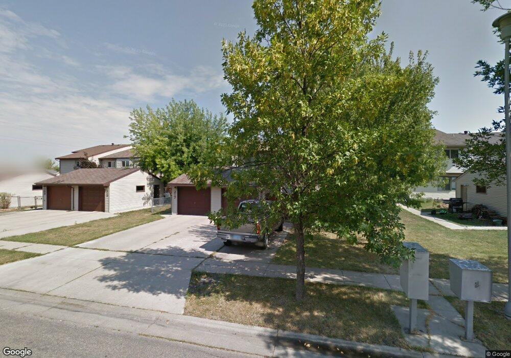
221 17 1/2 St E West Fargo, ND 58078
Meadowridge NeighborhoodEstimated Value: $192,000 - $209,056
3
Beds
1
Bath
1,236
Sq Ft
$163/Sq Ft
Est. Value
About This Home
This home is located at 221 17 1/2 St E, West Fargo, ND 58078 and is currently estimated at $201,014, approximately $162 per square foot. 221 17 1/2 St E is a home located in Cass County with nearby schools including L.E. Berger Elementary School, Cheney Middle School, and West Fargo High School.
Ownership History
Date
Name
Owned For
Owner Type
Purchase Details
Closed on
May 18, 2012
Sold by
Moore Robert A and Moore Michelle R
Bought by
Williams Robert
Current Estimated Value
Home Financials for this Owner
Home Financials are based on the most recent Mortgage that was taken out on this home.
Original Mortgage
$103,799
Outstanding Balance
$72,755
Interest Rate
4.15%
Mortgage Type
FHA
Estimated Equity
$128,259
Purchase Details
Closed on
Jul 14, 2006
Sold by
Quinton Stephanie M
Bought by
Moore Robert A and Moore Michelle R
Home Financials for this Owner
Home Financials are based on the most recent Mortgage that was taken out on this home.
Original Mortgage
$96,000
Interest Rate
6.72%
Mortgage Type
VA
Create a Home Valuation Report for This Property
The Home Valuation Report is an in-depth analysis detailing your home's value as well as a comparison with similar homes in the area
Home Values in the Area
Average Home Value in this Area
Purchase History
| Date | Buyer | Sale Price | Title Company |
|---|---|---|---|
| Williams Robert | $106,500 | Title Co | |
| Moore Robert A | -- | -- |
Source: Public Records
Mortgage History
| Date | Status | Borrower | Loan Amount |
|---|---|---|---|
| Open | Williams Robert | $103,799 | |
| Previous Owner | Moore Robert A | $96,000 |
Source: Public Records
Tax History Compared to Growth
Tax History
| Year | Tax Paid | Tax Assessment Tax Assessment Total Assessment is a certain percentage of the fair market value that is determined by local assessors to be the total taxable value of land and additions on the property. | Land | Improvement |
|---|---|---|---|---|
| 2024 | $2,422 | $84,550 | $10,000 | $74,550 |
| 2023 | $2,359 | $81,550 | $10,000 | $71,550 |
| 2022 | $2,342 | $77,600 | $10,000 | $67,600 |
| 2021 | $2,305 | $73,600 | $7,500 | $66,100 |
| 2020 | $2,284 | $74,850 | $7,500 | $67,350 |
| 2019 | $2,171 | $72,000 | $7,500 | $64,500 |
| 2018 | $2,046 | $69,650 | $7,500 | $62,150 |
| 2017 | $1,941 | $67,000 | $7,500 | $59,500 |
| 2016 | $1,638 | $62,400 | $7,500 | $54,900 |
| 2015 | $1,664 | $61,050 | $5,150 | $55,900 |
| 2014 | $1,631 | $57,050 | $5,150 | $51,900 |
| 2013 | $1,591 | $54,600 | $5,150 | $49,450 |
Source: Public Records
Map
Nearby Homes
- 1726 2nd Ave E
- 1438 Suntree Dr
- 2120 4th Ave E
- 1332 Sandstone Dr
- 2150 2nd Ave E
- 432 22nd St E
- 921 Homestead Ct
- 4836 9th Ave S
- 1059 Sommerset Place
- 4704 8th Ave S
- 1511 11th Ave E
- 341 Santa Cruz Dr Unit 305
- 851 12th Ave E
- 426 3rd Ave E
- 987 14th Ave E
- 1221 Cedar Way
- 670 13th Ave E
- 437 10th Ave E
- 924 10th Ave NE
- 209 1st Ave E
- 217 17 1/2 St E
- 217 17 1 2 St E
- 225 17 1/2 St E
- 213 17 1/2 St E
- 229 17 1 2 St E
- 229 17 1/2 St E
- 209 17 1/2 St E
- 209 17 1 2 St E
- 233 17 1 2 St E
- 233 17 1/2 St E
- 205 17 1/2 St E
- 222 18th St E
- 218 18th St E
- 237 17 1 2 St E
- 226 18th St E
- 234 18th St E
- 237 17 1/2 St E
- 214 18th St E
- 205 17 1 2 St E
- 230 18th St E