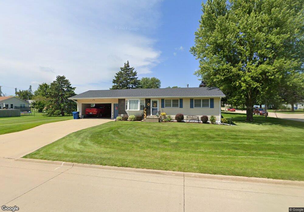
221 3rd Ave de Witt, IA 52742
Estimated Value: $206,000 - $213,000
About This Home
This home is located at 221 3rd Ave, de Witt, IA 52742 and is currently estimated at $210,517, approximately $202 per square foot. 221 3rd Ave is a home located in Clinton County with nearby schools including Ekstrand Elementary School, Central Dewitt Intermediate School, and Central Dewitt Middle School.
Ownership History
We collect this data history from publicly available records. To have your information removed, we recommend requesting removal directly through your county’s website.
Purchase Details
Home Financials for this Owner
Home Financials are based on the most recent Mortgage that was taken out on this home.Home Values in the Area
Average Home Value in this Area
Purchase History
We collect this data history from publicly available records. To have your information removed, we recommend requesting removal directly through your county’s website.
| Date | Buyer | Sale Price | Title Company |
|---|---|---|---|
| $129,000 | None Available |
Mortgage History
We collect this data history from publicly available records. To have your information removed, we recommend requesting removal directly through your county’s website.
| Date | Status | Borrower | Loan Amount |
|---|---|---|---|
| Closed | $116,100 |
Tax History
We collect this data history from publicly available records. To have your information removed, we recommend requesting removal directly through your county’s website.
| Year | Tax Paid | Tax Assessment Tax Assessment Total Assessment is a certain percentage of the fair market value that is determined by local assessors to be the total taxable value of land and additions on the property. | Land | Improvement |
|---|---|---|---|---|
| 2025 | $3,028 | $187,530 | $21,880 | $165,650 |
| 2024 | $3,028 | $174,790 | $21,880 | $152,910 |
| 2023 | $2,776 | $174,790 | $21,880 | $152,910 |
| 2022 | $2,774 | $157,200 | $21,880 | $135,320 |
| 2021 | $2,690 | $145,530 | $21,540 | $123,990 |
| 2019 | $2,576 | $129,360 | $0 | $0 |
| 2018 | $2,510 | $129,360 | $0 | $0 |
| 2017 | $2,374 | $129,360 | $0 | $0 |
| 2016 | $2,272 | $117,800 | $0 | $0 |
| 2015 | $2,272 | $117,800 | $0 | $0 |
| 2014 | $2,302 | $117,800 | $0 | $0 |
| 2013 | $2,262 | $0 | $0 | $0 |
Map
- 510 2nd St
- 246 6th St
- 502 6th Ave
- 621 4th Ave Unit 3
- 213 8th Ave
- 00 3rd St
- 401 10th St
- 617 9th Ave
- 285th St Old Hwy 61
- 615 S 6th Ave
- 1104 3rd St
- 812 10th St
- 921 10th St
- 820 11th St
- 119 14th Ave
- 0 285th Ave Old Hwy 61 Unit 2601452
- 0 285th Ave Old Hwy 61 Unit 2601448
- 1124 12th St
- 813 Pleasant Hill Dr
- 00 Maynard Way
Ask me questions while you tour the home.