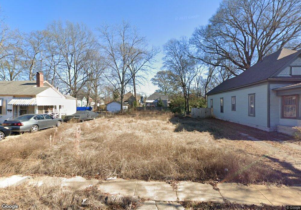
221 48th St N Birmingham, AL 35212
Woodlawn NeighborhoodEstimated Value: $417,000
3
Beds
1
Bath
1,608
Sq Ft
$259/Sq Ft
Est. Value
About This Home
This home is located at 221 48th St N, Birmingham, AL 35212 and is currently estimated at $417,000, approximately $259 per square foot. 221 48th St N is a home located in Jefferson County with nearby schools including C. W. Hayes K-8 School, Woodlawn High School-Magnet, and Cornerstone Schools of Alabama.
Ownership History
Date
Name
Owned For
Owner Type
Purchase Details
Closed on
Sep 9, 2020
Sold by
Birmingham Land Bank Authority
Bought by
Wf Real Estate Property Resources Llc
Current Estimated Value
Purchase Details
Closed on
Jun 5, 2019
Sold by
Security Investments Inc
Bought by
City Of Birmingham
Purchase Details
Closed on
Mar 18, 2019
Sold by
Security Investments Inc
Bought by
Birmingham Land Bank Authority
Create a Home Valuation Report for This Property
The Home Valuation Report is an in-depth analysis detailing your home's value as well as a comparison with similar homes in the area
Home Values in the Area
Average Home Value in this Area
Purchase History
| Date | Buyer | Sale Price | Title Company |
|---|---|---|---|
| Wf Real Estate Property Resources Llc | $5,000 | -- | |
| City Of Birmingham | $6,535 | -- | |
| Birmingham Land Bank Authority | -- | -- |
Source: Public Records
Tax History Compared to Growth
Tax History
| Year | Tax Paid | Tax Assessment Tax Assessment Total Assessment is a certain percentage of the fair market value that is determined by local assessors to be the total taxable value of land and additions on the property. | Land | Improvement |
|---|---|---|---|---|
| 2024 | $141 | $1,940 | $1,940 | -- |
| 2022 | $106 | $1,460 | $1,460 | $0 |
| 2021 | $106 | $1,460 | $1,460 | $0 |
| 2020 | $0 | $4,140 | $2,920 | $1,220 |
| 2019 | $0 | $4,140 | $0 | $0 |
| 2018 | $0 | $3,920 | $0 | $0 |
| 2017 | $0 | $3,920 | $0 | $0 |
| 2016 | $0 | $9,820 | $0 | $0 |
| 2015 | -- | $9,820 | $0 | $0 |
| 2014 | $623 | $9,700 | $0 | $0 |
| 2013 | $623 | $9,700 | $0 | $0 |
Source: Public Records
Map
Nearby Homes
- 801 48th St N
- 833 49th St N
- 821 50th St N
- 837 49th St N
- 833 50th St N
- 5112 2nd Ave N
- 924 47th Place N
- 749 45th Place N
- 942 47th Place N
- 808 45th Place N
- 934 47th St N
- 5105 Georgia Rd
- 821 45th St N
- 4636 9th Terrace N
- 4908 3rd Ave S
- 4910 3rd Ave S
- 5145 5th Ave S
- 1023 46th St N
- 5148 6th Ave S
- 520 49th St S