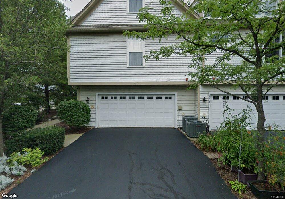
221 5th St Libertyville, IL 60048
Estimated Value: $531,657 - $593,000
--
Bed
4
Baths
1,759
Sq Ft
$315/Sq Ft
Est. Value
About This Home
This home is located at 221 5th St, Libertyville, IL 60048 and is currently estimated at $554,914, approximately $315 per square foot. 221 5th St is a home located in Lake County with nearby schools including Butterfield School, Highland Middle School, and Libertyville High School.
Ownership History
Date
Name
Owned For
Owner Type
Purchase Details
Closed on
Jul 15, 2021
Sold by
Langhorst Diane M
Bought by
Runkle Yaeko and Runkle Nicole K
Current Estimated Value
Purchase Details
Closed on
Jul 28, 2006
Sold by
Ventura Frank M
Bought by
Langhorst Diane M
Home Financials for this Owner
Home Financials are based on the most recent Mortgage that was taken out on this home.
Original Mortgage
$309,500
Interest Rate
6.78%
Mortgage Type
Unknown
Purchase Details
Closed on
Apr 26, 2002
Sold by
Bank Of Waukegan
Bought by
Ventura Frank M
Create a Home Valuation Report for This Property
The Home Valuation Report is an in-depth analysis detailing your home's value as well as a comparison with similar homes in the area
Home Values in the Area
Average Home Value in this Area
Purchase History
| Date | Buyer | Sale Price | Title Company |
|---|---|---|---|
| Runkle Yaeko | $405,000 | Precision Title | |
| Langhorst Diane M | $387,000 | None Available | |
| Ventura Frank M | $326,500 | First American Title |
Source: Public Records
Mortgage History
| Date | Status | Borrower | Loan Amount |
|---|---|---|---|
| Previous Owner | Langhorst Diane M | $309,500 |
Source: Public Records
Tax History Compared to Growth
Tax History
| Year | Tax Paid | Tax Assessment Tax Assessment Total Assessment is a certain percentage of the fair market value that is determined by local assessors to be the total taxable value of land and additions on the property. | Land | Improvement |
|---|---|---|---|---|
| 2024 | $8,685 | $134,271 | $46,892 | $87,379 |
| 2023 | $4,426 | $123,843 | $43,250 | $80,593 |
| 2022 | $8,725 | $120,094 | $41,570 | $78,524 |
| 2021 | $8,599 | $117,509 | $40,675 | $76,834 |
| 2020 | $9,225 | $125,580 | $43,469 | $82,111 |
| 2019 | $8,996 | $124,386 | $43,056 | $81,330 |
| 2018 | $8,659 | $123,906 | $42,908 | $80,998 |
| 2017 | $8,537 | $119,994 | $41,553 | $78,441 |
| 2016 | $8,248 | $113,771 | $39,398 | $74,373 |
| 2015 | $8,165 | $106,338 | $36,824 | $69,514 |
| 2014 | $7,283 | $98,451 | $33,647 | $64,804 |
| 2012 | $6,800 | $94,465 | $33,940 | $60,525 |
Source: Public Records
Map
Nearby Homes
- 601 Broadway St
- 121 4th St
- 112 3rd St
- 785 Meadow Ln
- 217 E Church St
- 401 S 4th Ave
- 224 Newberry Ave
- 426 S Milwaukee Ave
- 837 E Rockland Rd
- 1754 Glenmore Rd
- 614 Riverside Dr
- 212 Elm Ct
- 308 Mckinley Ave
- 15393 W Oak Spring Rd
- 922 N Milwaukee Ave Unit A
- 505 Lange Ct
- 420 W Cook Ave
- 15470 W Rockland Ln
- 1211 Parliament Ct
- 204 W Ellis Ave
- 227 5th St Unit 227
- 225 5th St Unit 225
- 223 5th St Unit 223
- 221 5th St Unit 221
- 225 N 5th St
- 215 N 5th St Unit 223
- 217 5th St Unit 217
- 211 5th St Unit 211
- 625 Broadway St
- 621 Broadway St
- 611 S 4th Ave
- 226 4th St
- 222 4th St
- 615 Broadway St
- 617 Broadway St
- 613 Broadway St
- 218 4th St
- 611 Broadway St
- 228 4th St
- 203 5th St