221 Adamsville Rd Colrain, MA 01340
Colrain NeighborhoodEstimated Value: $610,000 - $818,462
5
Beds
4
Baths
3,725
Sq Ft
$196/Sq Ft
Est. Value
About This Home
This home is located at 221 Adamsville Rd, Colrain, MA 01340 and is currently estimated at $729,154, approximately $195 per square foot. 221 Adamsville Rd is a home located in Franklin County with nearby schools including Mohawk Trail Regional High School.
Ownership History
Date
Name
Owned For
Owner Type
Purchase Details
Closed on
Mar 11, 2020
Sold by
Wolf Amy R
Bought by
Wolf 2013 Childrens T
Current Estimated Value
Purchase Details
Closed on
Aug 17, 2012
Sold by
Isseroff Amy W and Isseroff Avarham Z
Bought by
Isseroff Amy W
Purchase Details
Closed on
Sep 18, 2009
Sold by
Int Edward W Stamas
Bought by
Isseroff Amy Wolf and Isseroff Avraham Z
Purchase Details
Closed on
May 8, 2007
Sold by
Stamas Edward S and Stamas Emma E
Bought by
Int Edward S Stamas and Stamas Edward S
Purchase Details
Closed on
Aug 27, 2001
Sold by
Urstadt Joanne W and Urstadt Edwin A
Bought by
Stamas Edward S and Stamas Emma E
Home Financials for this Owner
Home Financials are based on the most recent Mortgage that was taken out on this home.
Original Mortgage
$160,000
Interest Rate
7.21%
Mortgage Type
Purchase Money Mortgage
Create a Home Valuation Report for This Property
The Home Valuation Report is an in-depth analysis detailing your home's value as well as a comparison with similar homes in the area
Home Values in the Area
Average Home Value in this Area
Purchase History
| Date | Buyer | Sale Price | Title Company |
|---|---|---|---|
| Wolf 2013 Childrens T | -- | None Available | |
| Isseroff Amy W | -- | -- | |
| Isseroff Amy Wolf | $412,500 | -- | |
| Int Edward S Stamas | -- | -- | |
| Stamas Edward S | $362,000 | -- |
Source: Public Records
Mortgage History
| Date | Status | Borrower | Loan Amount |
|---|---|---|---|
| Previous Owner | Stamas Edward S | $160,000 |
Source: Public Records
Tax History
| Year | Tax Paid | Tax Assessment Tax Assessment Total Assessment is a certain percentage of the fair market value that is determined by local assessors to be the total taxable value of land and additions on the property. | Land | Improvement |
|---|---|---|---|---|
| 2025 | $16,586 | $908,300 | $104,700 | $803,600 |
| 2024 | $14,345 | $755,800 | $104,700 | $651,100 |
| 2023 | $14,452 | $736,200 | $94,700 | $641,500 |
| 2022 | $14,293 | $697,900 | $83,400 | $614,500 |
| 2021 | $13,227 | $625,100 | $65,100 | $560,000 |
| 2020 | $12,462 | $625,300 | $65,000 | $560,300 |
| 2019 | $12,505 | $607,900 | $65,000 | $542,900 |
| 2018 | $12,310 | $608,200 | $65,000 | $543,200 |
| 2017 | $14,371 | $729,500 | $65,000 | $664,500 |
| 2016 | $13,407 | $717,700 | $65,000 | $652,700 |
| 2015 | $13,023 | $719,900 | $65,000 | $654,900 |
Source: Public Records
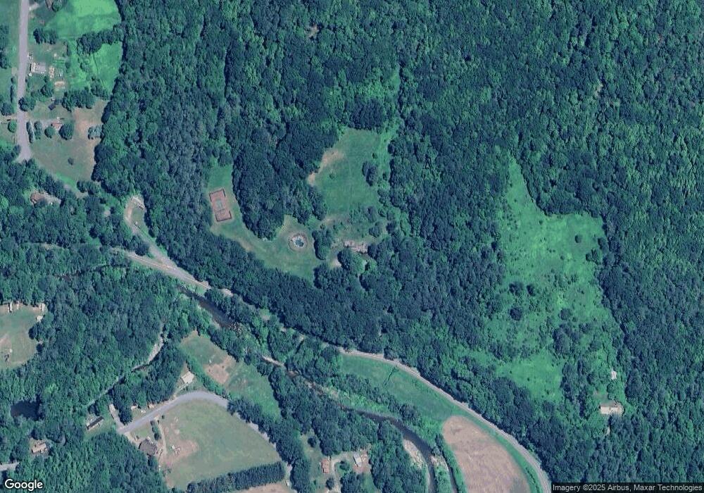
Map
Nearby Homes
- 13 Griswoldville St
- 2 Modoc Dr
- 8 Deer Run Path
- 364 Jacksonville Rd
- 3 Flagg Hill Rd
- 2155 Massachusetts 2
- 2151 Route 2
- Lot 23-25 Hawk Hill Rd
- 251 Phillips Hill Rd
- 0 W Oxbow Rd Unit 73453651
- 0 W Oxbow Rd Unit 248444
- 14 South Rd
- 24 W Oxbow Rd
- 0 Sadoga Rd Unit 73507720
- 829 Pennel Hill Rd
- 474 Little Mohawk Rd
- 594 Massachusetts 8a
- 10 Deerfield Ave Unit 2
- 108 Colrain Shelburne Rd
- 0 Brook Rd
- 0 Wilson Hill Rd Unit 71161967
- 21 Heath Rd
- 41 Heath Rd
- 197 Adamsville Rd
- 12 Wilson Hill Rd
- 17 Wilson Hill Rd
- 24 Heath Rd
- 24 Heath Rd
- 22 Heath Rd
- 23 Wilson Hill Rd
- 55 Heath Rd
- 18 Wilson Hill Rd
- 12 Heath Rd
- 27 Wilson Hill Rd
- 191 Adamsville Rd
- 15 Heath Rd
- 35 Wilson Hill Rd
- 7 Wilson Hill Branch
- 1 Heath Rd
- 185 Adamsville Rd
Your Personal Tour Guide
Ask me questions while you tour the home.