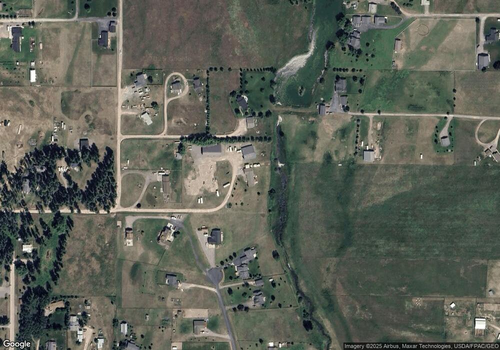
221 Blackhawk Ln Kalispell, MT 59901
Estimated Value: $610,707 - $624,000
About This Home
This home is located at 221 Blackhawk Ln, Kalispell, MT 59901 and is currently estimated at $618,677, approximately $328 per square foot. 221 Blackhawk Ln is a home located in Flathead County with nearby schools including Helena Flats Elementary School, Helena Flats Junior High School, and Glacier High School.
Ownership History
We collect this data history from publicly available records. To have your information removed, we recommend requesting removal directly through your county’s website.
Purchase Details
Home Financials for this Owner
Home Financials are based on the most recent Mortgage that was taken out on this home.Purchase Details
Purchase Details
Home Financials for this Owner
Home Financials are based on the most recent Mortgage that was taken out on this home.Purchase History
We collect this data history from publicly available records. To have your information removed, we recommend requesting removal directly through your county’s website.
| Date | Buyer | Sale Price | Title Company |
|---|---|---|---|
| -- | Fidelity National Title | ||
| -- | None Available | ||
| -- | Alliance Title |
Mortgage History
We collect this data history from publicly available records. To have your information removed, we recommend requesting removal directly through your county’s website.
| Date | Status | Borrower | Loan Amount |
|---|---|---|---|
| Open | $609,470 | ||
| Previous Owner | $200,000 |
Tax History
We collect this data history from publicly available records. To have your information removed, we recommend requesting removal directly through your county’s website.
| Year | Tax Paid | Tax Assessment Tax Assessment Total Assessment is a certain percentage of the fair market value that is determined by local assessors to be the total taxable value of land and additions on the property. | Land | Improvement |
|---|---|---|---|---|
| 2025 | $2,982 | $635,700 | $0 | $0 |
| 2024 | $3,114 | $481,000 | $0 | $0 |
| 2023 | $3,128 | $481,000 | $0 | $0 |
| 2022 | $2,742 | $321,100 | $0 | $0 |
| 2021 | $2,819 | $321,100 | $0 | $0 |
| 2020 | $2,651 | $292,000 | $0 | $0 |
| 2019 | $2,620 | $292,000 | $0 | $0 |
| 2018 | $2,335 | $244,500 | $0 | $0 |
| 2017 | $2,372 | $244,500 | $0 | $0 |
| 2016 | $1,979 | $223,200 | $0 | $0 |
| 2015 | $2,075 | $223,200 | $0 | $0 |
| 2014 | $2,135 | $139,999 | $0 | $0 |
Map
- 1139 Aspen Ln
- 44 Aspen Ct
- 650 Capistrano Dr Unit Parcel 4
- 650 Capistrano Dr Unit Parcels 1,2,3,4
- 650 Capistrano Dr Unit Parcel 3
- 650 Capistrano Dr Unit Parcel 2
- 650 Capistrano Dr Unit Parcel 1
- 685 Pebble Dr
- 700 Stone St
- 5012 Chokecherry Ave
- 3051 Elderberry Ave
- 551 Saint Regis Dr
- 587 Saint Regis Dr
- 550 Saint Regis Dr
- 514 Saint Regis Dr
- 3025 Elderberry Ave
- 496 Forest Edge Trail
- 477 Soaring Pines Trail
- 367 Soaring Pines Trail
- 424 Soaring Pines Trail
Ask me questions while you tour the home.