221 Bluebird Dr Naugatuck, CT 06770
Estimated Value: $358,000 - $398,000
3
Beds
2
Baths
1,386
Sq Ft
$272/Sq Ft
Est. Value
About This Home
This home is located at 221 Bluebird Dr, Naugatuck, CT 06770 and is currently estimated at $376,937, approximately $271 per square foot. 221 Bluebird Dr is a home located in New Haven County with nearby schools including City Hill Middle School and Naugatuck High School.
Ownership History
Date
Name
Owned For
Owner Type
Purchase Details
Closed on
Feb 24, 1997
Sold by
Sims Margaret
Bought by
Adams George and Adams Janet
Current Estimated Value
Home Financials for this Owner
Home Financials are based on the most recent Mortgage that was taken out on this home.
Original Mortgage
$101,600
Interest Rate
7.8%
Mortgage Type
Purchase Money Mortgage
Create a Home Valuation Report for This Property
The Home Valuation Report is an in-depth analysis detailing your home's value as well as a comparison with similar homes in the area
Home Values in the Area
Average Home Value in this Area
Purchase History
| Date | Buyer | Sale Price | Title Company |
|---|---|---|---|
| Adams George | $107,000 | -- |
Source: Public Records
Mortgage History
| Date | Status | Borrower | Loan Amount |
|---|---|---|---|
| Closed | Adams George | $95,000 | |
| Closed | Adams George | $101,600 | |
| Previous Owner | Adams George | $84,000 |
Source: Public Records
Tax History Compared to Growth
Tax History
| Year | Tax Paid | Tax Assessment Tax Assessment Total Assessment is a certain percentage of the fair market value that is determined by local assessors to be the total taxable value of land and additions on the property. | Land | Improvement |
|---|---|---|---|---|
| 2025 | $7,331 | $184,240 | $33,320 | $150,920 |
| 2024 | $7,699 | $184,240 | $33,320 | $150,920 |
| 2023 | $8,245 | $184,240 | $33,320 | $150,920 |
| 2022 | $5,782 | $121,090 | $35,250 | $85,840 |
| 2021 | $5,710 | $119,590 | $35,250 | $84,340 |
| 2020 | $5,710 | $119,590 | $35,250 | $84,340 |
| 2019 | $5,651 | $119,590 | $35,250 | $84,340 |
| 2018 | $5,596 | $115,740 | $45,080 | $70,660 |
| 2017 | $5,619 | $115,740 | $45,080 | $70,660 |
| 2016 | $5,517 | $115,740 | $45,080 | $70,660 |
| 2015 | $5,274 | $115,740 | $45,080 | $70,660 |
| 2014 | $5,215 | $115,740 | $45,080 | $70,660 |
| 2012 | $5,411 | $161,290 | $53,790 | $107,500 |
Source: Public Records
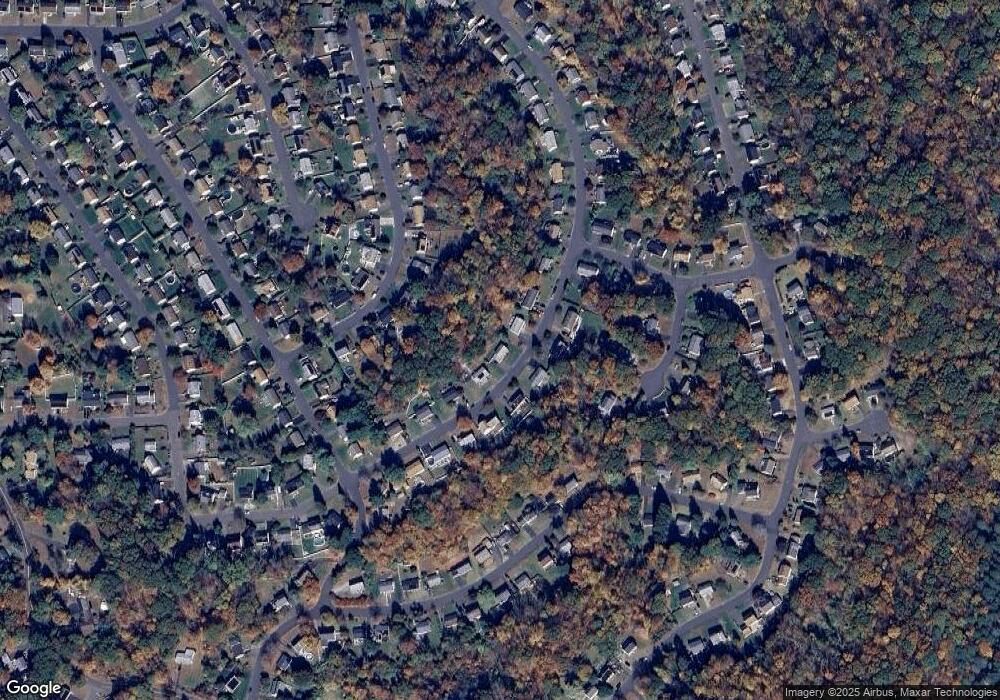
Map
Nearby Homes
- 236 Bluebird Dr
- Lot #9 Morning Dove Rd Unit Lot 9
- Lot 9II Morning Dove Rd
- 157 Bluebird Dr
- 93 Tawny Thrush Rd
- 418 Horton Hill Rd
- 21 Longwood Dr
- 31 Warm Earth Rd
- 30 Warm Earth Rd
- 57 Warm Earth Rd
- 73 Warm Earth Rd
- 108 Clark Rd Unit TRLR 85
- 34 Pear Tree Dr
- 805 Maple Hill Rd
- 39 Horton Hill Rd Unit 10A
- 39 Horton Hill Rd Unit 9B
- 463 Mulberry St
- 38 Arbor Ave
- 1405 New Haven Rd
- 43 Margaret Cir
- 217 Bluebird Dr
- 225 Bluebird Dr
- 229 Bluebird Dr
- 213 Bluebird Dr
- 15 Rough Wing Rd
- 232 Bluebird Dr
- 19 Rough Wing Rd
- 11 Rough Wing Rd
- 233 Bluebird Dr
- 209 Bluebird Dr
- 240 Bluebird Dr
- 224 Bluebird Dr
- 7 Rough Wing Rd
- 23 Rough Wing Rd
- 244 Bluebird Dr
- 5 Thistle Down Ln
- 205 Bluebird Dr
- 248 Bluebird Dr
- 17 Bob White Cir
- 9 Thistle Down Ln