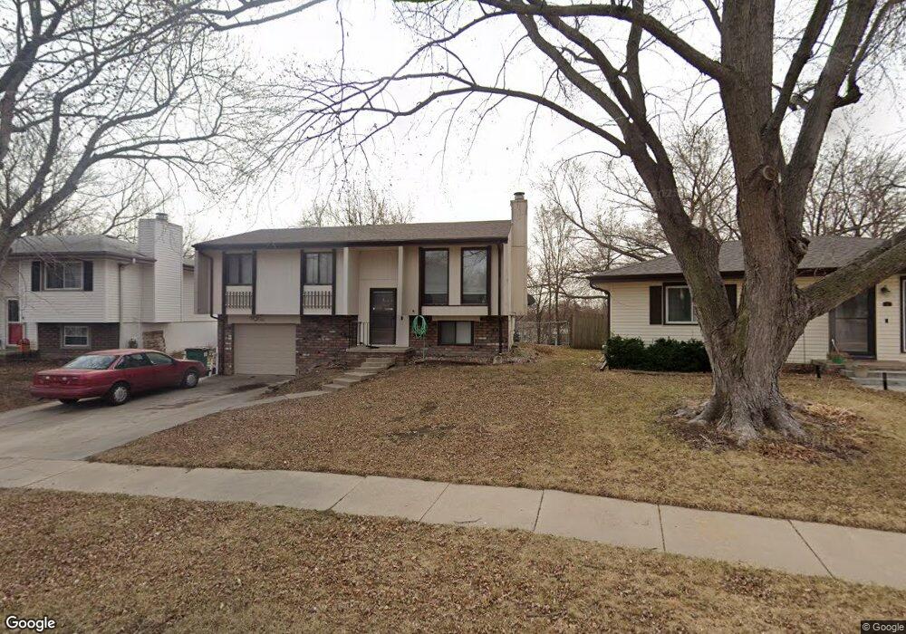
221 Bridger Rd Lincoln, NE 68521
Northwest Lincoln NeighborhoodEstimated Value: $225,000 - $241,000
3
Beds
2
Baths
1,400
Sq Ft
$164/Sq Ft
Est. Value
About This Home
This home is located at 221 Bridger Rd, Lincoln, NE 68521 and is currently estimated at $230,198, approximately $164 per square foot. 221 Bridger Rd is a home located in Lancaster County with nearby schools including West Lincoln Elementary School, Goodrich Middle School, and North Star High School.
Ownership History
Date
Name
Owned For
Owner Type
Purchase Details
Closed on
Dec 28, 2012
Sold by
Liston Ronald W and Liston Linda L
Bought by
Ro Lin Properties Llc
Current Estimated Value
Purchase Details
Closed on
Dec 22, 2008
Sold by
Liston Ronald W and Liston Linda L
Bought by
Liston Ronald W and Liston Linda L
Purchase Details
Closed on
Apr 16, 1998
Sold by
Van Le Vinh Van and Le Cu Van
Bought by
Liston Ronald W and Liston Linda L
Home Financials for this Owner
Home Financials are based on the most recent Mortgage that was taken out on this home.
Original Mortgage
$60,000
Interest Rate
7.21%
Create a Home Valuation Report for This Property
The Home Valuation Report is an in-depth analysis detailing your home's value as well as a comparison with similar homes in the area
Home Values in the Area
Average Home Value in this Area
Purchase History
| Date | Buyer | Sale Price | Title Company |
|---|---|---|---|
| Ro Lin Properties Llc | -- | None Available | |
| Liston Ronald W | -- | None Available | |
| Liston Ronald W | $75,000 | -- |
Source: Public Records
Mortgage History
| Date | Status | Borrower | Loan Amount |
|---|---|---|---|
| Closed | Liston Ronald W | $60,000 |
Source: Public Records
Tax History Compared to Growth
Tax History
| Year | Tax Paid | Tax Assessment Tax Assessment Total Assessment is a certain percentage of the fair market value that is determined by local assessors to be the total taxable value of land and additions on the property. | Land | Improvement |
|---|---|---|---|---|
| 2025 | $2,406 | $170,100 | $45,000 | $125,100 |
| 2024 | $2,406 | $172,000 | $35,000 | $137,000 |
| 2023 | $2,702 | $161,200 | $35,000 | $126,200 |
| 2022 | $3,011 | $151,100 | $30,000 | $121,100 |
| 2021 | $2,849 | $151,100 | $30,000 | $121,100 |
| 2020 | $2,436 | $127,500 | $30,000 | $97,500 |
| 2019 | $2,436 | $127,500 | $30,000 | $97,500 |
| 2018 | $2,002 | $104,300 | $30,000 | $74,300 |
| 2017 | $2,020 | $104,300 | $30,000 | $74,300 |
| 2016 | $1,834 | $94,200 | $30,000 | $64,200 |
| 2015 | $1,822 | $94,200 | $30,000 | $64,200 |
| 2014 | $1,733 | $89,100 | $30,000 | $59,100 |
| 2013 | -- | $89,100 | $30,000 | $59,100 |
Source: Public Records
Map
Nearby Homes
- 455 Laramie Trail
- 205 W Treehaven Dr
- 431 W Belmont Ave
- 3100 NW 7th St
- 2808 NW 7th St
- 122 W Saunders Ave
- 2503 NW 6th St
- 1715 W Trout Dr
- 635 W Fairfield St
- 406 Knox St
- 405 Judson St
- 241 W Irving St
- 239 W Irving St Unit Portfolio
- 225 W Irving St
- 208 W Irving St
- 240 W Irving St
- 210 W Irving St
- 216 W Irving St
- 218 W Irving St
- 730 W Dawes Ave
- 231 Bridger Rd
- 211 Bridger Rd
- 179 Laramie Trail
- 301 Bridger Rd
- 300 W Butler Ave
- 175 Laramie Trail
- 312 W Butler Ave
- 311 Bridger Rd
- 230 Blue Flame Rd
- 210 Bridger Rd
- 300 Bridger Rd
- 200 Bridger Rd
- 171 Laramie Trail
- 318 W Butler Ave
- 317 Bridger Rd
- 310 Bridger Rd
- 178 Laramie Trail
- 174 Laramie Trail
- 167 Laramie Trail
- 211 Laramie Trail