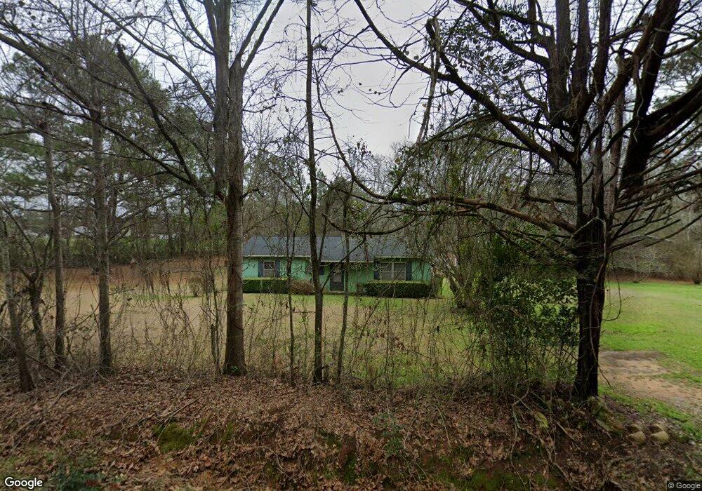
221 Browns Mill Pond Rd Leslie, GA 31764
Estimated Value: $64,808 - $158,000
3
Beds
1
Bath
1,100
Sq Ft
$97/Sq Ft
Est. Value
About This Home
This home is located at 221 Browns Mill Pond Rd, Leslie, GA 31764 and is currently estimated at $106,202, approximately $96 per square foot. 221 Browns Mill Pond Rd is a home located in Sumter County with nearby schools including Sumter County Primary School, Sumter County Elementary School, and Sumter County Middle School.
Ownership History
Date
Name
Owned For
Owner Type
Purchase Details
Closed on
Dec 14, 2009
Sold by
Harris Ethel M
Bought by
Gibson Arthur B
Current Estimated Value
Purchase Details
Closed on
Dec 9, 2009
Sold by
Holder Katherine
Bought by
Gibson Arthur B
Purchase Details
Closed on
Nov 30, 2009
Sold by
Lockheart Abell
Bought by
Gibson Arthur B
Purchase Details
Closed on
Nov 25, 2009
Sold by
Gibson Thelma J
Bought by
Gibson Arthur B
Purchase Details
Closed on
Nov 14, 2009
Sold by
Wright Lucille
Bought by
Gibson Arthur B
Purchase Details
Closed on
Nov 9, 2009
Sold by
Gibson Bobby G
Bought by
Gibson Arthur B
Create a Home Valuation Report for This Property
The Home Valuation Report is an in-depth analysis detailing your home's value as well as a comparison with similar homes in the area
Home Values in the Area
Average Home Value in this Area
Purchase History
| Date | Buyer | Sale Price | Title Company |
|---|---|---|---|
| Gibson Arthur B | -- | -- | |
| Gibson Arthur B | -- | -- | |
| Gibson Arthur B | -- | -- | |
| Gibson Arthur B | -- | -- | |
| Gibson Arthur B | -- | -- | |
| Gibson Arthur B | -- | -- |
Source: Public Records
Tax History Compared to Growth
Tax History
| Year | Tax Paid | Tax Assessment Tax Assessment Total Assessment is a certain percentage of the fair market value that is determined by local assessors to be the total taxable value of land and additions on the property. | Land | Improvement |
|---|---|---|---|---|
| 2024 | $933 | $15,008 | $1,520 | $13,488 |
| 2023 | $919 | $15,008 | $1,520 | $13,488 |
| 2022 | $919 | $15,008 | $1,520 | $13,488 |
| 2021 | $920 | $15,008 | $1,520 | $13,488 |
| 2020 | $935 | $15,008 | $1,520 | $13,488 |
| 2019 | $862 | $15,008 | $1,520 | $13,488 |
| 2018 | $862 | $15,008 | $1,520 | $13,488 |
| 2017 | $862 | $15,008 | $1,520 | $13,488 |
| 2016 | $862 | $15,008 | $1,520 | $13,488 |
| 2015 | $868 | $15,528 | $1,520 | $14,008 |
| 2014 | $869 | $15,528 | $1,520 | $14,008 |
| 2013 | -- | $15,528 | $1,520 | $14,008 |
Source: Public Records
Map
Nearby Homes
- 1339 Georgia 27
- TBD District Line Rd
- 107 Oakridge Dr
- 400 Georgia 27
- 111 Cedar Ridge Dr
- Lot 52 Dellwood Dr
- 234 Edgewood Dr
- 226 Edgewood Dr
- lot 47 Greenwood Dr
- 118 Southland Ridge Dr
- 108 Southland Ridge Dr
- 0 Ashley Rd
- 208 Edgewood Dr
- 279 Upper River Rd
- 254 Georgia 49
- N/A Mclean Dr SE
- 0 N A Unit 10613160
- 113 Clearview Cir
- 708 Georgia 118
- 139 E Allen St
- 116 Katherine Ln
- 229 Browns Mill Pond Rd
- 121 Katherine Ln
- 120 Katherine Ln
- 129 Katherine Ln
- 197 Browns Mill Pond Rd
- 115 Olson Dr
- 142 Olson Dr
- 127 Olson Dr
- 135 Olson Dr
- 105 Olson Dr
- 141 Katherine Ln
- 136 Olson Dr
- 146 Katherine Ln
- 150 Green Duck Rd
- 171 Browns Mill Pond Rd
- 137 Green Duck Rd
- 131 Green Duck Rd Unit AB
- 145 Green Duck Rd
- 147 Green Duck Rd