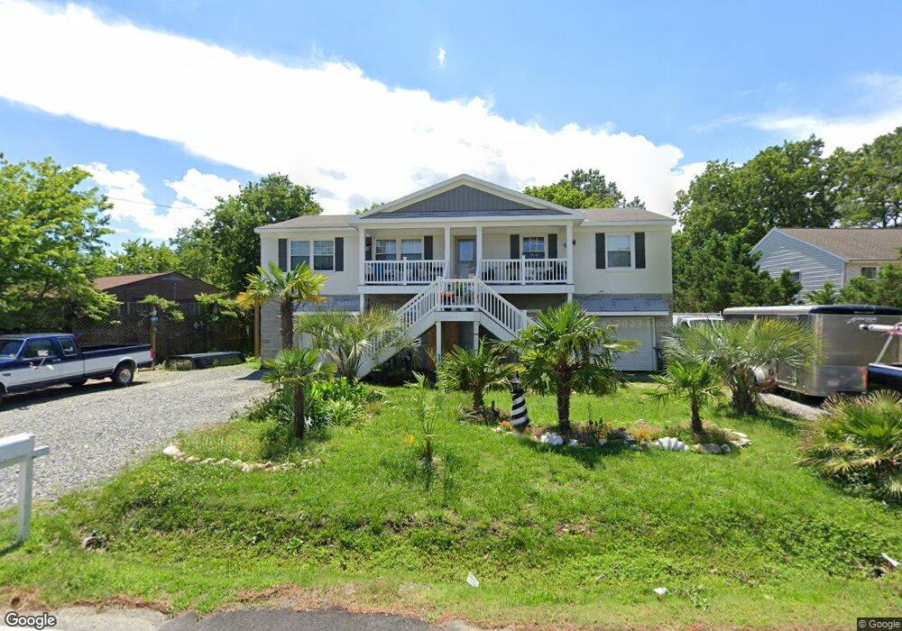
221 Browns Neck Rd Poquoson, VA 23662
Poquoson Shores NeighborhoodEstimated Value: $312,508 - $382,000
3
Beds
2
Baths
1,634
Sq Ft
$210/Sq Ft
Est. Value
About This Home
This home is located at 221 Browns Neck Rd, Poquoson, VA 23662 and is currently estimated at $343,627, approximately $210 per square foot. 221 Browns Neck Rd is a home located in Poquoson City with nearby schools including Summit Christian Academy - Upper School.
Ownership History
Date
Name
Owned For
Owner Type
Purchase Details
Closed on
Dec 14, 2006
Sold by
Fortune Joel R
Bought by
Cochran James E
Current Estimated Value
Home Financials for this Owner
Home Financials are based on the most recent Mortgage that was taken out on this home.
Original Mortgage
$154,551
Outstanding Balance
$91,529
Interest Rate
6.14%
Mortgage Type
New Conventional
Estimated Equity
$252,098
Create a Home Valuation Report for This Property
The Home Valuation Report is an in-depth analysis detailing your home's value as well as a comparison with similar homes in the area
Home Values in the Area
Average Home Value in this Area
Purchase History
| Date | Buyer | Sale Price | Title Company |
|---|---|---|---|
| Cochran James E | $140,000 | -- |
Source: Public Records
Mortgage History
| Date | Status | Borrower | Loan Amount |
|---|---|---|---|
| Open | Cochran James E | $154,551 |
Source: Public Records
Tax History Compared to Growth
Tax History
| Year | Tax Paid | Tax Assessment Tax Assessment Total Assessment is a certain percentage of the fair market value that is determined by local assessors to be the total taxable value of land and additions on the property. | Land | Improvement |
|---|---|---|---|---|
| 2024 | $2,649 | $232,400 | $74,400 | $158,000 |
| 2023 | $2,580 | $232,400 | $74,400 | $158,000 |
| 2022 | $2,341 | $207,200 | $74,400 | $132,800 |
| 2021 | $2,341 | $207,200 | $74,400 | $132,800 |
| 2020 | $0 | $193,800 | $74,400 | $119,400 |
| 2019 | -- | $193,800 | $74,400 | $119,400 |
| 2018 | -- | $187,200 | $74,400 | $112,800 |
| 2017 | -- | $180,300 | $74,400 | $105,900 |
| 2016 | -- | $180,300 | $74,400 | $105,900 |
| 2015 | -- | $186,800 | $78,300 | $108,500 |
| 2013 | -- | $186,800 | $78,300 | $108,500 |
Source: Public Records
Map
Nearby Homes
- 1 Phillips Rd
- 15+AC Browns Neck Rd
- 10 White House Dr
- 105 Rens Rd Unit 30
- 105 Rens Rd Unit 2
- 105 Rens Rd Unit 74
- 105 Rens Rd Unit Lot 48
- 41 W Sandy Point Rd
- 7 Carmines Ct
- 3 Carmines Ct
- 6 Lessies Dr
- 28 Pasture Rd
- 1.55ac Holloway Rd
- 62 Rens Rd
- 8 Wornom Farm Rd
- 21 Rens Rd
- 7 Quail Cove
- 11 Valmoore Dr
- 8 Harbour View Dr
- 11 Dorothy Dr
- 219 Browns Neck Rd
- 223 Browns Neck Rd
- 217 Browns Neck Rd
- 211 Browns Neck Rd
- 211 Browns Neck Rd
- 215 Browns Neck Rd
- 207 Browns Neck Rd
- 226 Browns Neck Rd
- 224 Browns Neck Rd
- 228 Browns Neck Rd
- 222 Browns Neck Rd
- 234 Browns Neck Rd
- 213 Browns Neck Rd
- 259 Browns Neck Rd
- 209 Browns Neck Rd
- 4 Breezy Point Rd
- 1 Breezy Point Rd
- 216 Mingee St
- 220 Browns Neck Rd
- 205 Browns Neck Rd