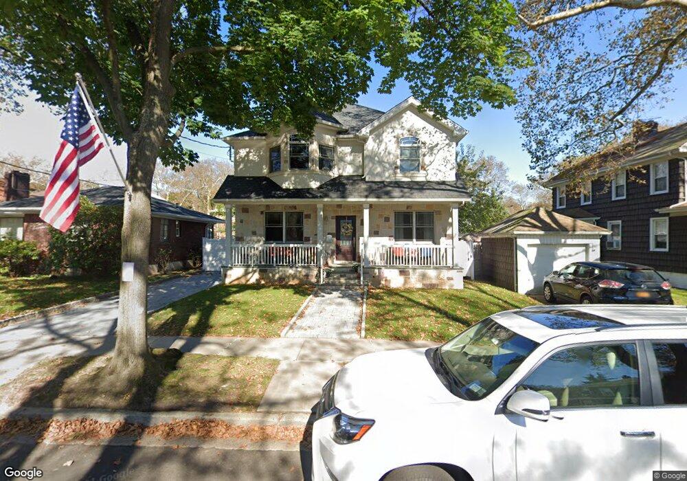
221 Bryant Ave Staten Island, NY 10306
New Dorp NeighborhoodEstimated Value: $741,000 - $923,000
--
Bed
4
Baths
2,100
Sq Ft
$401/Sq Ft
Est. Value
About This Home
This home is located at 221 Bryant Ave, Staten Island, NY 10306 and is currently estimated at $841,895, approximately $400 per square foot. 221 Bryant Ave is a home located in Richmond County with nearby schools including P.S. 41 The Stephanie a Vierno School, Is 2 George L Egbert, and New Dorp High School.
Ownership History
Date
Name
Owned For
Owner Type
Purchase Details
Closed on
Nov 19, 2009
Sold by
Petersen Gail and Petersen Gary
Bought by
Giachetta Kenneth
Current Estimated Value
Home Financials for this Owner
Home Financials are based on the most recent Mortgage that was taken out on this home.
Original Mortgage
$312,000
Outstanding Balance
$203,724
Interest Rate
5%
Mortgage Type
New Conventional
Estimated Equity
$638,171
Purchase Details
Closed on
Feb 10, 2004
Sold by
Petersen Dorothy P
Bought by
Petersen Gail and Petersen Gary
Purchase Details
Closed on
Jan 7, 2004
Sold by
Petersen Dorothy P and Nix Mary
Bought by
Petersen Dorothy P
Create a Home Valuation Report for This Property
The Home Valuation Report is an in-depth analysis detailing your home's value as well as a comparison with similar homes in the area
Home Values in the Area
Average Home Value in this Area
Purchase History
| Date | Buyer | Sale Price | Title Company |
|---|---|---|---|
| Giachetta Kenneth | $390,000 | None Available | |
| Petersen Gail | -- | Seeport Title | |
| Petersen Dorothy P | -- | Seaport Title |
Source: Public Records
Mortgage History
| Date | Status | Borrower | Loan Amount |
|---|---|---|---|
| Open | Giachetta Kenneth | $312,000 |
Source: Public Records
Tax History Compared to Growth
Tax History
| Year | Tax Paid | Tax Assessment Tax Assessment Total Assessment is a certain percentage of the fair market value that is determined by local assessors to be the total taxable value of land and additions on the property. | Land | Improvement |
|---|---|---|---|---|
| 2025 | $8,729 | $61,860 | $8,761 | $53,099 |
| 2024 | $8,729 | $64,020 | $8,065 | $55,955 |
| 2023 | $8,663 | $42,658 | $8,044 | $34,614 |
| 2022 | $8,133 | $59,280 | $11,880 | $47,400 |
| 2021 | $8,268 | $49,560 | $11,880 | $37,680 |
| 2020 | $8,047 | $47,760 | $11,880 | $35,880 |
| 2019 | $7,576 | $48,060 | $11,880 | $36,180 |
| 2018 | $7,246 | $35,548 | $8,480 | $27,068 |
| 2017 | $6,920 | $33,949 | $11,092 | $22,857 |
| 2016 | $6,545 | $32,739 | $9,092 | $23,647 |
| 2015 | $5,792 | $31,680 | $9,900 | $21,780 |
| 2014 | $5,792 | $30,180 | $9,900 | $20,280 |
Source: Public Records
Map
Nearby Homes
- 217 Bancroft Ave
- 240 Otis Ave
- 239 Burbank Ave
- 2309 Hylan Blvd
- 124 Bancroft Ave
- 238 Burbank Ave
- 260 Clawson St
- 142 Fremont Ave
- 190 Burbank Ave
- 210 Lincoln Ave
- 155 Burbank Ave
- 164 Burbank Ave
- 158 Burbank Ave
- 145 Lincoln Ave Unit 2F
- 145 Lincoln Ave Unit 6J
- 145 Lincoln Ave Unit 5H
- 145 Lincoln Ave Unit 3X
- 145 Lincoln Ave Unit 6X
- 145 Lincoln Ave Unit 1K
- 145 Lincoln Ave Unit 1V
- 217 Bryant Ave
- 229 Bryant Ave
- 215 Bryant Ave
- 218 Bancroft Ave
- 169 Clawson St Unit 2
- 169 Clawson St Unit 2R
- 214 Bancroft Ave
- 220 Bancroft Ave
- 235 Bryant Ave
- 213 Bryant Ave
- 210 Bancroft Ave
- 157 Clawson St
- 211 Bryant Ave
- 220 Bryant Ave
- 224 Bryant Ave
- 216 Bryant Ave
- 228 Bryant Ave
- 206 Bancroft Ave
- 212 Bryant Ave
- 232 Bryant Ave