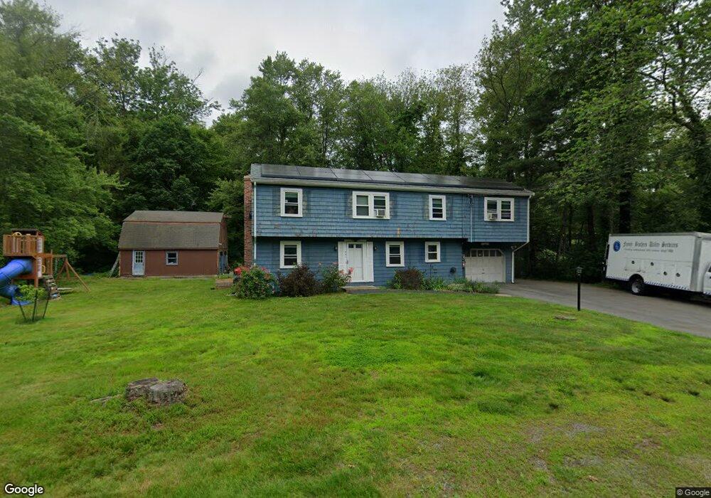
221 Bullard St Walpole, MA 02081
Estimated Value: $776,000 - $1,133,000
3
Beds
3
Baths
1,255
Sq Ft
$760/Sq Ft
Est. Value
About This Home
This home is located at 221 Bullard St, Walpole, MA 02081 and is currently estimated at $954,087, approximately $760 per square foot. 221 Bullard St is a home located in Norfolk County with nearby schools including Fisher School, Walpole Middle School, and Walpole High School.
Ownership History
Date
Name
Owned For
Owner Type
Purchase Details
Closed on
Jun 22, 2010
Sold by
Dennehy Elizabeth A
Bought by
Dennehy Daniel J and Dennehy Elizabeth A
Current Estimated Value
Home Financials for this Owner
Home Financials are based on the most recent Mortgage that was taken out on this home.
Original Mortgage
$92,000
Outstanding Balance
$62,205
Interest Rate
5.23%
Mortgage Type
Purchase Money Mortgage
Estimated Equity
$891,882
Purchase Details
Closed on
May 25, 2010
Sold by
Lallier Laura A and Seaman Paul R
Bought by
Dennehy Elizabeth A
Home Financials for this Owner
Home Financials are based on the most recent Mortgage that was taken out on this home.
Original Mortgage
$92,000
Outstanding Balance
$62,205
Interest Rate
5.23%
Mortgage Type
Purchase Money Mortgage
Estimated Equity
$891,882
Create a Home Valuation Report for This Property
The Home Valuation Report is an in-depth analysis detailing your home's value as well as a comparison with similar homes in the area
Home Values in the Area
Average Home Value in this Area
Purchase History
| Date | Buyer | Sale Price | Title Company |
|---|---|---|---|
| Dennehy Daniel J | -- | -- | |
| Dennehy Elizabeth A | $287,500 | -- |
Source: Public Records
Mortgage History
| Date | Status | Borrower | Loan Amount |
|---|---|---|---|
| Open | Dennehy Elizabeth A | $92,000 |
Source: Public Records
Tax History Compared to Growth
Tax History
| Year | Tax Paid | Tax Assessment Tax Assessment Total Assessment is a certain percentage of the fair market value that is determined by local assessors to be the total taxable value of land and additions on the property. | Land | Improvement |
|---|---|---|---|---|
| 2025 | $11,452 | $892,600 | $563,300 | $329,300 |
| 2024 | $11,140 | $842,700 | $541,800 | $300,900 |
| 2023 | $10,601 | $763,200 | $470,900 | $292,300 |
| 2022 | $10,058 | $695,600 | $435,600 | $260,000 |
| 2021 | $9,699 | $653,600 | $410,900 | $242,700 |
| 2020 | $9,829 | $655,700 | $409,400 | $246,300 |
| 2019 | $9,551 | $632,500 | $395,100 | $237,400 |
| 2018 | $9,052 | $592,800 | $373,300 | $219,500 |
| 2017 | $8,741 | $570,200 | $359,100 | $211,100 |
| 2016 | $8,547 | $549,300 | $349,100 | $200,200 |
| 2015 | $8,221 | $523,600 | $335,000 | $188,600 |
| 2014 | $8,005 | $507,900 | $335,000 | $172,900 |
Source: Public Records
Map
Nearby Homes
- 531 Walpole St
- 22 Coolidge Rd
- 70 Endicott St Unit 404
- 70 Endicott St Unit 1306
- 18 Laurel Rd
- 52 Yarmouth Rd
- 66 Gould St
- 70 Gould St
- 1080 North St
- 291 Plimpton St
- 10 Victoria Cir
- 34 Austin St Unit 1L
- 5 Atwood Ave
- 7 Washington Green
- 1086 Washington St
- 303 Oak St
- 19 and 23 Arlington Ln
- 0 Charlotte Rd
- 4 Lost Brook Trail
- 363 - 367 Washington St