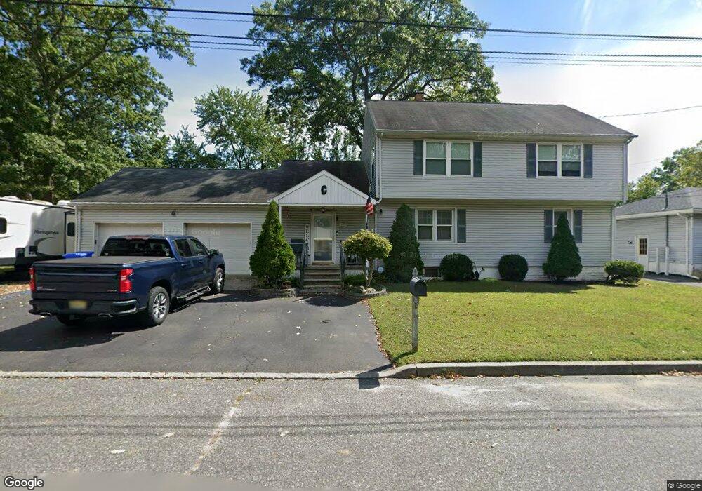
221 Cortland Rd Eatontown, NJ 07724
Estimated Value: $786,496 - $816,000
2
Beds
2
Baths
2,374
Sq Ft
$337/Sq Ft
Est. Value
About This Home
This home is located at 221 Cortland Rd, Eatontown, NJ 07724 and is currently estimated at $801,124, approximately $337 per square foot. 221 Cortland Rd is a home located in Monmouth County with nearby schools including Woodmere Elementary School, Memorial Middle School, and Ranney School.
Ownership History
Date
Name
Owned For
Owner Type
Purchase Details
Closed on
Jul 12, 1990
Bought by
Caretta John and Partusch Cynthia
Current Estimated Value
Create a Home Valuation Report for This Property
The Home Valuation Report is an in-depth analysis detailing your home's value as well as a comparison with similar homes in the area
Home Values in the Area
Average Home Value in this Area
Purchase History
| Date | Buyer | Sale Price | Title Company |
|---|---|---|---|
| Caretta John | $120,000 | -- |
Source: Public Records
Tax History Compared to Growth
Tax History
| Year | Tax Paid | Tax Assessment Tax Assessment Total Assessment is a certain percentage of the fair market value that is determined by local assessors to be the total taxable value of land and additions on the property. | Land | Improvement |
|---|---|---|---|---|
| 2025 | $11,737 | $699,600 | $336,800 | $362,800 |
| 2024 | $10,582 | $627,000 | $284,800 | $342,200 |
| 2023 | $10,582 | $536,900 | $224,800 | $312,100 |
| 2022 | $9,478 | $459,700 | $199,600 | $260,100 |
| 2021 | $9,478 | $412,100 | $179,400 | $232,700 |
| 2020 | $9,241 | $405,300 | $179,400 | $225,900 |
| 2019 | $9,759 | $428,600 | $179,400 | $249,200 |
| 2018 | $9,581 | $414,600 | $179,400 | $235,200 |
| 2017 | $9,222 | $413,000 | $179,400 | $233,600 |
| 2016 | $8,723 | $399,600 | $164,400 | $235,200 |
| 2015 | $9,010 | $405,300 | $162,400 | $242,900 |
| 2014 | $8,528 | $361,300 | $162,400 | $198,900 |
Source: Public Records
Map
Nearby Homes
- 21 Walter Ave
- 14 Copperfield Ct
- 88 Windsor Dr
- 102 Rolling Meadows Blvd S
- 44 Charles Ct
- 106 Rolling Meadows Blvd S
- 36 Emma Place
- 217 Wyckoff Rd
- 139 Tanya Cir Unit 5506
- 62 Rolling Meadows Blvd S
- 19 Emma Place
- 17 Emma Place
- 11 Rolling Meadows Blvd S
- 119 Beacon Ln Unit 404
- 16 Rolling Meadows Blvd S
- 41 Rolling Meadows Blvd S
- 4 Magnolia Ct
- 0 Pinebrook Rd
- 46 Fredric Dr
- 1218 W Park Ave
- 222 Cortland Rd
- 18 Paul Ave
- 220 Cortland Rd
- 217 Cortland Rd
- 309 Paul Ave
- 218 Cortland Rd Unit A
- 218 Cortland Rd
- 305 Paul Ave
- 223 Cortland Rd
- 310 Paul Ave
- 306 Paul Ave
- 212 Paul Ave
- 210 Paul Ave
- 201 Knox Ave
- 201 Knox Ave Unit A
- 312 Paul Ave
- 202 Shark River Rd
- 11 Cortland Rd
- 204 Knox Ave
- 308 Shark River Rd