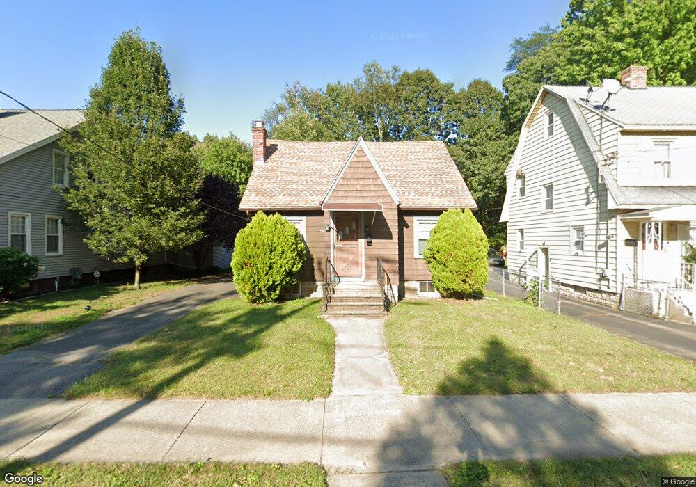
221 Dorset St Springfield, MA 01108
Forest Park NeighborhoodEstimated Value: $273,000 - $330,000
3
Beds
1
Bath
1,959
Sq Ft
$151/Sq Ft
Est. Value
About This Home
This home is located at 221 Dorset St, Springfield, MA 01108 and is currently estimated at $295,307, approximately $150 per square foot. 221 Dorset St is a home located in Hampden County with nearby schools including Washington Elementary School, M Marcus Kiley Middle, and High School Of Commerce.
Ownership History
Date
Name
Owned For
Owner Type
Purchase Details
Closed on
Jul 15, 2016
Sold by
Johnson Phillip
Bought by
Walker-Johnson Amanda L
Current Estimated Value
Purchase Details
Closed on
Nov 27, 2006
Sold by
Clark Aileen F and Clark Robertson W
Bought by
Walker-Johnson Amanda and Johnson Phillip N
Home Financials for this Owner
Home Financials are based on the most recent Mortgage that was taken out on this home.
Original Mortgage
$127,200
Interest Rate
6.39%
Mortgage Type
Purchase Money Mortgage
Create a Home Valuation Report for This Property
The Home Valuation Report is an in-depth analysis detailing your home's value as well as a comparison with similar homes in the area
Home Values in the Area
Average Home Value in this Area
Purchase History
| Date | Buyer | Sale Price | Title Company |
|---|---|---|---|
| Walker-Johnson Amanda L | -- | -- | |
| Walker-Johnson Amanda | $159,000 | -- |
Source: Public Records
Mortgage History
| Date | Status | Borrower | Loan Amount |
|---|---|---|---|
| Previous Owner | Walker-Johnson Amanda | $127,200 | |
| Previous Owner | Walker-Johnson Amanda | $31,800 |
Source: Public Records
Tax History Compared to Growth
Tax History
| Year | Tax Paid | Tax Assessment Tax Assessment Total Assessment is a certain percentage of the fair market value that is determined by local assessors to be the total taxable value of land and additions on the property. | Land | Improvement |
|---|---|---|---|---|
| 2025 | $3,655 | $233,100 | $36,800 | $196,300 |
| 2024 | $3,487 | $217,100 | $36,800 | $180,300 |
| 2023 | $3,268 | $191,700 | $35,100 | $156,600 |
| 2022 | $3,077 | $163,500 | $35,100 | $128,400 |
| 2021 | $2,841 | $150,300 | $31,900 | $118,400 |
| 2020 | $2,840 | $145,400 | $31,900 | $113,500 |
| 2019 | $2,497 | $126,900 | $31,900 | $95,000 |
| 2018 | $2,572 | $130,700 | $31,900 | $98,800 |
| 2017 | $2,509 | $127,600 | $31,900 | $95,700 |
| 2016 | $2,444 | $124,300 | $31,900 | $92,400 |
| 2015 | $2,490 | $126,600 | $31,900 | $94,700 |
Source: Public Records
Map
Nearby Homes
- 72 Sunapee St
- 108 Brunswick St
- 53 Chilson St
- 88 Brunswick St
- 47 Thorndyke St
- 83 Gilman St
- 43 Thorndyke St
- 26 Dwight Rd
- 22 Eleanor Rd
- 34 Castle St
- 51-53 Eloise St
- 914-916 Belmont Ave
- 910-912 Belmont Ave
- 17 Spencer St
- 13 Bither St
- 16-18 Eddywood St
- 855 Belmont Ave
- 36 Garland St
- 27 Rockland St
- 78 Wood Ave