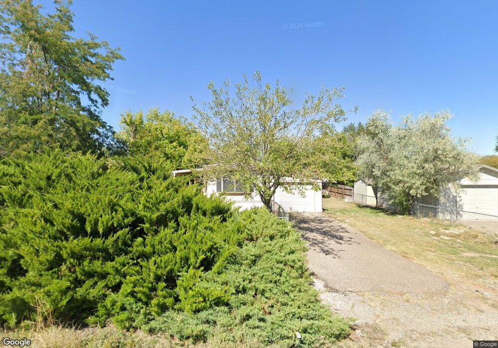
221 E Byrd Dr Pueblo West, CO 81007
Estimated Value: $93,800 - $209,000
2
Beds
2
Baths
938
Sq Ft
$174/Sq Ft
Est. Value
About This Home
This home is located at 221 E Byrd Dr, Pueblo West, CO 81007 and is currently estimated at $162,950, approximately $173 per square foot. 221 E Byrd Dr is a home located in Pueblo County with nearby schools including Liberty Point Elementary School, Liberty Point International School, and Pueblo West High School.
Ownership History
Date
Name
Owned For
Owner Type
Purchase Details
Closed on
Oct 27, 2015
Sold by
Meherg Ursula K
Bought by
Mcconnell Sydney Ann
Current Estimated Value
Purchase Details
Closed on
Mar 20, 2012
Sold by
Meherg Ursula K
Bought by
Meherg Ursula K
Purchase Details
Closed on
Aug 12, 1998
Sold by
Lindsey Robert L + Glenna J
Bought by
Meherg W N + I D + G J
Purchase Details
Closed on
Aug 31, 1985
Sold by
Brouwer James E + Pearl J
Bought by
Lindsey Robert L + Glenna J
Purchase Details
Closed on
May 22, 1981
Sold by
Lawyers Title Of Pueblo
Bought by
Brouwer James E + Pearl J
Create a Home Valuation Report for This Property
The Home Valuation Report is an in-depth analysis detailing your home's value as well as a comparison with similar homes in the area
Home Values in the Area
Average Home Value in this Area
Purchase History
| Date | Buyer | Sale Price | Title Company |
|---|---|---|---|
| Mcconnell Sydney Ann | $42,500 | Capstone Title Llc | |
| Meherg Ursula K | -- | None Available | |
| Meherg W N + I D + G J | $53,000 | -- | |
| Lindsey Robert L + Glenna J | -- | -- | |
| Brouwer James E + Pearl J | -- | -- |
Source: Public Records
Tax History Compared to Growth
Tax History
| Year | Tax Paid | Tax Assessment Tax Assessment Total Assessment is a certain percentage of the fair market value that is determined by local assessors to be the total taxable value of land and additions on the property. | Land | Improvement |
|---|---|---|---|---|
| 2024 | $610 | $6,040 | -- | -- |
| 2023 | $617 | $9,720 | $1,840 | $7,880 |
| 2022 | $707 | $7,048 | $1,910 | $5,138 |
| 2021 | $726 | $7,260 | $1,970 | $5,290 |
| 2020 | $485 | $7,260 | $1,970 | $5,290 |
| 2019 | $483 | $4,833 | $965 | $3,868 |
| 2018 | $354 | $3,541 | $972 | $2,569 |
| 2017 | $354 | $3,541 | $972 | $2,569 |
| 2016 | $356 | $3,558 | $1,075 | $2,483 |
| 2015 | $223 | $2,253 | $1,075 | $1,178 |
| 2014 | $53 | $1,075 | $1,075 | $0 |
Source: Public Records
Map
Nearby Homes
- 822 S Tolstoi Dr
- 233 E Byrd Dr
- 245 E Byrd Dr
- 298 E Stewart Dr
- 302 E Stewart Dr
- 826 S Tolstoi Dr
- 232 E Byrd Dr
- 300 E Byrd Dr Unit 26
- 342 E Byrd Dr Unit 35
- 310 E Stewart Dr
- 244 E Byrd Dr
- 815 S Tolstoi Dr
- 825 S Tolstoi Dr
- 189 E Byrd Dr
- 269 E Byrd Dr
- 215 E Kipling Dr Unit 16
- 215 E Kipling Dr
- 840 S Tolstoi Dr
- 188 E Byrd Dr
- 206 E Jerome Dr