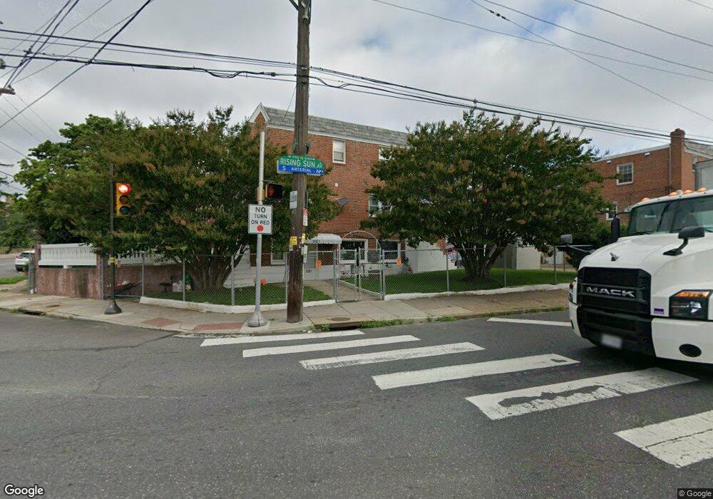
221 E Duncannon Ave Philadelphia, PA 19120
Olney NeighborhoodEstimated Value: $200,000 - $231,876
3
Beds
3
Baths
1,805
Sq Ft
$121/Sq Ft
Est. Value
About This Home
This home is located at 221 E Duncannon Ave, Philadelphia, PA 19120 and is currently estimated at $217,969, approximately $120 per square foot. 221 E Duncannon Ave is a home located in Philadelphia County with nearby schools including Olney Elementary School, Olney Charter High School, and Olney Christian School.
Ownership History
Date
Name
Owned For
Owner Type
Purchase Details
Closed on
Oct 6, 2021
Sold by
Vasquez Ortiz Samuel
Bought by
Rodriguez Abel
Current Estimated Value
Home Financials for this Owner
Home Financials are based on the most recent Mortgage that was taken out on this home.
Original Mortgage
$185,250
Interest Rate
3.55%
Mortgage Type
New Conventional
Purchase Details
Closed on
Aug 19, 2011
Sold by
Mammem Annamma and Mammen Annamma
Bought by
Ortiz Samuel Vasquez
Home Financials for this Owner
Home Financials are based on the most recent Mortgage that was taken out on this home.
Original Mortgage
$136,451
Interest Rate
5.5%
Mortgage Type
FHA
Create a Home Valuation Report for This Property
The Home Valuation Report is an in-depth analysis detailing your home's value as well as a comparison with similar homes in the area
Home Values in the Area
Average Home Value in this Area
Purchase History
| Date | Buyer | Sale Price | Title Company |
|---|---|---|---|
| Rodriguez Abel | $195,000 | Go Abstract Services | |
| Ortiz Samuel Vasquez | $140,000 | First American Title Insuran |
Source: Public Records
Mortgage History
| Date | Status | Borrower | Loan Amount |
|---|---|---|---|
| Previous Owner | Rodriguez Abel | $185,250 | |
| Previous Owner | Ortiz Samuel Vasquez | $136,451 |
Source: Public Records
Tax History Compared to Growth
Tax History
| Year | Tax Paid | Tax Assessment Tax Assessment Total Assessment is a certain percentage of the fair market value that is determined by local assessors to be the total taxable value of land and additions on the property. | Land | Improvement |
|---|---|---|---|---|
| 2025 | $2,063 | $192,300 | $38,460 | $153,840 |
| 2024 | $2,063 | $192,300 | $38,460 | $153,840 |
| 2023 | $2,063 | $147,400 | $29,480 | $117,920 |
| 2022 | $605 | $102,400 | $29,480 | $72,920 |
| 2021 | $1,235 | $0 | $0 | $0 |
| 2020 | $1,235 | $0 | $0 | $0 |
| 2019 | $1,148 | $0 | $0 | $0 |
| 2018 | $1,015 | $0 | $0 | $0 |
| 2017 | $2,185 | $0 | $0 | $0 |
| 2016 | $1,765 | $0 | $0 | $0 |
| 2015 | $1,690 | $0 | $0 | $0 |
| 2014 | -- | $156,100 | $19,850 | $136,250 |
| 2012 | -- | $15,200 | $3,263 | $11,937 |
Source: Public Records
Map
Nearby Homes
- 252 E Albanus St
- 5157 C St
- 220 E Tabor Rd
- 124 E Ruscomb St
- 4941 N Front St
- 218 E Roosevelt Blvd
- 216 E Roosevelt Blvd
- 5002 Ormes St
- 140 W Ashdale St
- 5212 D St
- 150 W Fisher Ave
- 4916 B St
- 5003 C St
- 4914 Ormes St
- 5413 N Front St
- 156 W Albanus St
- 4926 Boudinot St
- 316 R E Clarkson Ave Unit 4
- 149 W Roosevelt Blvd
- 239 E Eleanor St
- 219 E Duncannon Ave
- 217 E Duncannon Ave
- 215 E Duncannon Ave
- 213 E Duncannon Ave
- 224 Robat St
- 226 Robat St
- 222 Robat St
- 220 Robat St
- 211 E Duncannon Ave
- 218 Robat St
- 216 Robat St
- 209 E Duncannon Ave
- 214 Robat St
- 207 E Duncannon Ave
- 212 Robat St
- 201 E Ashdale St
- 205 E Duncannon Ave
- 210 Robat St
- 203 E Duncannon Ave
- 208 Robat St