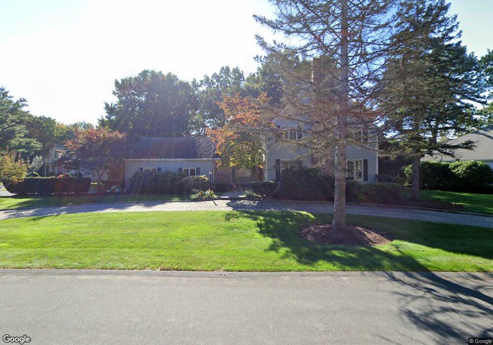
221 E Emerson Rd Lexington, MA 02420
Munroe Hill NeighborhoodEstimated Value: $2,311,611 - $2,661,000
4
Beds
4
Baths
3,929
Sq Ft
$646/Sq Ft
Est. Value
About This Home
This home is located at 221 E Emerson Rd, Lexington, MA 02420 and is currently estimated at $2,539,153, approximately $646 per square foot. 221 E Emerson Rd is a home located in Middlesex County with nearby schools including Fiske Elementary School, William Diamond Middle School, and Lexington High School.
Ownership History
Date
Name
Owned For
Owner Type
Purchase Details
Closed on
Oct 28, 2024
Sold by
Levy Carole and Levy Yacov
Bought by
Carole Levy T and Carole Levy
Current Estimated Value
Purchase Details
Closed on
Apr 14, 2010
Sold by
Levy Carole
Bought by
Levy Yacov and Levy Carole
Purchase Details
Closed on
Jun 28, 1990
Sold by
Rubin Michael E
Bought by
Levy Yacob
Home Financials for this Owner
Home Financials are based on the most recent Mortgage that was taken out on this home.
Original Mortgage
$187,450
Interest Rate
10.27%
Mortgage Type
Purchase Money Mortgage
Create a Home Valuation Report for This Property
The Home Valuation Report is an in-depth analysis detailing your home's value as well as a comparison with similar homes in the area
Home Values in the Area
Average Home Value in this Area
Purchase History
| Date | Buyer | Sale Price | Title Company |
|---|---|---|---|
| Carole Levy T | -- | None Available | |
| Carole Levy T | -- | None Available | |
| Levy Yacov | -- | -- | |
| Levy Yacov | -- | -- | |
| Levy Yacob | $640,000 | -- | |
| Levy Yacob | $640,000 | -- |
Source: Public Records
Mortgage History
| Date | Status | Borrower | Loan Amount |
|---|---|---|---|
| Previous Owner | Levy Yacob | $187,450 | |
| Previous Owner | Levy Yacob | $1,100,000 | |
| Previous Owner | Levy Yacob | $200,000 |
Source: Public Records
Tax History Compared to Growth
Tax History
| Year | Tax Paid | Tax Assessment Tax Assessment Total Assessment is a certain percentage of the fair market value that is determined by local assessors to be the total taxable value of land and additions on the property. | Land | Improvement |
|---|---|---|---|---|
| 2025 | $25,096 | $2,052,000 | $881,000 | $1,171,000 |
| 2024 | $24,929 | $2,035,000 | $839,000 | $1,196,000 |
| 2023 | $22,646 | $1,742,000 | $763,000 | $979,000 |
| 2022 | $21,224 | $1,538,000 | $693,000 | $845,000 |
| 2021 | $3,815 | $1,416,000 | $660,000 | $756,000 |
| 2020 | $19,670 | $1,400,000 | $660,000 | $740,000 |
| 2019 | $19,118 | $1,354,000 | $629,000 | $725,000 |
| 2018 | $3,461 | $1,311,000 | $599,000 | $712,000 |
| 2017 | $3,283 | $1,141,000 | $580,000 | $561,000 |
| 2016 | $15,812 | $1,083,000 | $534,000 | $549,000 |
| 2015 | $15,573 | $1,048,000 | $494,000 | $554,000 |
| 2014 | $16,596 | $1,070,000 | $437,000 | $633,000 |
Source: Public Records
Map
Nearby Homes
- 217 E Emerson Rd
- 227 E Emerson Rd
- 211 E Emerson Rd
- 240 E Emerson Rd
- 231 E Emerson Rd
- 218 E Emerson Rd
- 237 E Emerson Rd
- 216 E Emerson Rd
- 241 E Emerson Rd
- 214 E Emerson Rd
- 250 E Emerson Rd
- 8 Maureen Rd
- 209 E Emerson Rd
- 143 E Emerson Rd
- 135 E Emerson Rd
- 252 E Emerson Rd
- 205 E Emerson Rd
- 149 E Emerson Rd
- 7 Maureen Rd
- 155 E Emerson Rd