221 E Point Rd Rocky Point, NC 28457
Estimated Value: $420,000 - $481,000
3
Beds
2
Baths
2,142
Sq Ft
$210/Sq Ft
Est. Value
About This Home
This home is located at 221 E Point Rd, Rocky Point, NC 28457 and is currently estimated at $450,707, approximately $210 per square foot. 221 E Point Rd is a home located in Pender County with nearby schools including Cape Fear Elementary School, Cape Fear Middle School, and Heide Trask High School.
Ownership History
Date
Name
Owned For
Owner Type
Purchase Details
Closed on
Oct 28, 2020
Sold by
Acord Bobby R
Bought by
Acord Bobby Rrussell and The Bobby Russell Acord Revocable Trust
Current Estimated Value
Purchase Details
Closed on
Aug 31, 2006
Sold by
Brown Charles Anthony and Brown Julie T
Bought by
Acord Bobby R and Acord Anna A
Purchase Details
Closed on
Jun 20, 2005
Sold by
Johnson Larry Leland and Johnson Beth Ann
Bought by
Brown Charles Anthony and Brown Julie T
Home Financials for this Owner
Home Financials are based on the most recent Mortgage that was taken out on this home.
Original Mortgage
$210,000
Interest Rate
5.66%
Mortgage Type
Future Advance Clause Open End Mortgage
Create a Home Valuation Report for This Property
The Home Valuation Report is an in-depth analysis detailing your home's value as well as a comparison with similar homes in the area
Home Values in the Area
Average Home Value in this Area
Purchase History
| Date | Buyer | Sale Price | Title Company |
|---|---|---|---|
| Acord Bobby Rrussell | -- | None Available | |
| Acord Bobby R | $330,000 | -- | |
| Brown Charles Anthony | $48,000 | -- |
Source: Public Records
Mortgage History
| Date | Status | Borrower | Loan Amount |
|---|---|---|---|
| Previous Owner | Brown Charles Anthony | $210,000 |
Source: Public Records
Tax History
| Year | Tax Paid | Tax Assessment Tax Assessment Total Assessment is a certain percentage of the fair market value that is determined by local assessors to be the total taxable value of land and additions on the property. | Land | Improvement |
|---|---|---|---|---|
| 2025 | $2,995 | $390,235 | $27,773 | $362,462 |
| 2024 | $2,995 | $300,522 | $55,545 | $244,977 |
| 2023 | $2,995 | $300,522 | $55,545 | $244,977 |
| 2022 | $2,737 | $300,522 | $55,545 | $244,977 |
| 2021 | $2,737 | $300,522 | $55,545 | $244,977 |
| 2020 | $2,699 | $300,522 | $55,545 | $244,977 |
| 2019 | $2,699 | $300,522 | $55,545 | $244,977 |
| 2018 | $2,356 | $246,983 | $50,000 | $196,983 |
| 2017 | $2,356 | $246,983 | $50,000 | $196,983 |
| 2016 | $2,332 | $246,983 | $50,000 | $196,983 |
| 2015 | $2,297 | $246,983 | $50,000 | $196,983 |
| 2014 | $1,802 | $246,983 | $50,000 | $196,983 |
| 2013 | -- | $246,983 | $50,000 | $196,983 |
| 2012 | -- | $246,983 | $50,000 | $196,983 |
Source: Public Records
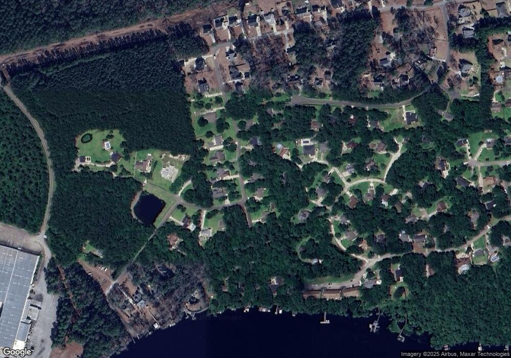
Map
Nearby Homes
- 44 Merganser Loop
- 122 Spring Chase Ln
- 237 Pintail Ln
- 286 Goose Neck Rd W
- 110 Mariners Cay
- 165 Gooseneck Rd W
- 102 Wayfarer Dr
- 87 Strut Way
- 477 Toms Creek Rd
- 518 Toms Creek Rd
- 12292 U S 117
- Lot #1 Harts Ln
- 110 Winchester Ln
- 3 Castle Farms Rd
- 113 Lightwood Knot Rd
- 508 Mcclure Cir
- 115 Windward Dr
- 6205 Blossom St
- 5350 Areca Rd
- 5350 Areca Rd Unit Lot 412
- 241 E Point Rd
- 201 E Pointe Rd
- 201 E Point Rd
- 241 E Pointe Rd
- 76 Merganser Loop
- 0 E Pointe Rd
- 181 E Point Rd
- 181 E Pointe Rd
- 64 Merganser Loop
- 271 E Point Rd
- 100 W Point Rd
- 100 W Pointe Rd
- 220 East Pointe Rd
- 200 East Pointe Rd
- 54 Merganser Loop
- 161 E Point Rd
- 180 E Point Rd
- 125 Spring Chase Ln
- 112 Merganser Loop
- 111 Merganser Loop
Your Personal Tour Guide
Ask me questions while you tour the home.