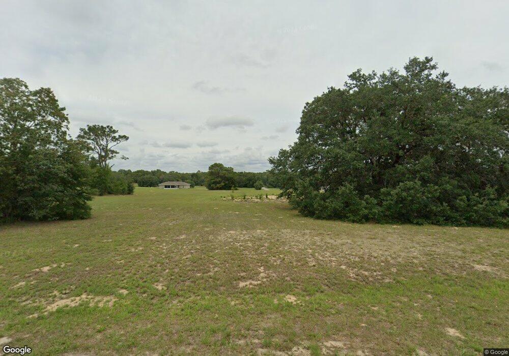
221 E Samuel Ct Hernando, FL 34442
Estimated Value: $430,000 - $590,000
Studio
3
Baths
2,123
Sq Ft
$232/Sq Ft
Est. Value
About This Home
This home is located at 221 E Samuel Ct, Hernando, FL 34442 and is currently estimated at $492,140, approximately $231 per square foot. 221 E Samuel Ct is a home located in Citrus County with nearby schools including Forest Ridge Elementary School, Citrus Springs Middle School, and Lecanto High School.
Ownership History
Date
Name
Owned For
Owner Type
Purchase Details
Closed on
Jun 1, 2022
Sold by
Maxwell David Services Llc
Bought by
Perez Peter D and Perez Maria D
Current Estimated Value
Purchase Details
Closed on
Jun 7, 2021
Sold by
Schwartz Jonathan D and Schwartz Heather L
Bought by
Maxwell David Services Llc
Purchase Details
Closed on
Apr 17, 2021
Sold by
Storeone Properties Llc
Bought by
Schwartz Jonathan D and Schwartz Heather L
Purchase Details
Closed on
Apr 16, 2021
Sold by
Alpapara Arsenio S and Alpapara Alpha D
Bought by
Storeone Properties Llc
Purchase Details
Closed on
Dec 1, 1992
Bought by
Alpapara Arsenio S & Alpha D
Create a Home Valuation Report for This Property
The Home Valuation Report is an in-depth analysis detailing your home's value as well as a comparison with similar homes in the area
Home Values in the Area
Average Home Value in this Area
Purchase History
| Date | Buyer | Sale Price | Title Company |
|---|---|---|---|
| Perez Peter D | $32,900 | Compass Title | |
| Maxwell David Services Llc | -- | None Available | |
| Schwartz Jonathan D | $19,300 | Florida Abstract & Security | |
| Storeone Properties Llc | $15,000 | Florida Abstract & Security | |
| Alpapara Arsenio S & Alpha D | $27,600 | -- |
Source: Public Records
Tax History
| Year | Tax Paid | Tax Assessment Tax Assessment Total Assessment is a certain percentage of the fair market value that is determined by local assessors to be the total taxable value of land and additions on the property. | Land | Improvement |
|---|---|---|---|---|
| 2025 | $418 | $381,160 | $32,000 | $349,160 |
| 2024 | $385 | $26,500 | $26,500 | -- |
| 2023 | $385 | $24,000 | $24,000 | $0 |
| 2022 | $285 | $18,000 | $18,000 | $0 |
| 2021 | $198 | $12,880 | $12,880 | $0 |
| 2020 | $184 | $11,400 | $11,400 | $0 |
| 2019 | $169 | $10,000 | $10,000 | $0 |
| 2018 | $133 | $8,660 | $8,660 | $0 |
| 2017 | $172 | $11,000 | $11,000 | $0 |
| 2016 | $171 | $10,500 | $10,500 | $0 |
| 2015 | $164 | $9,780 | $9,780 | $0 |
| 2014 | $163 | $9,435 | $9,435 | $0 |
Source: Public Records
Map
Nearby Homes
- 2924 N Anthony Ave
- 105 E Samuel Ct
- 74 E Dusty Ct
- 3076 N Clements Ave
- 3002 N Clements Ave
- 570 E Bismark St
- 70 W Sugarmaple Ln
- 3034 N Clements Ave
- 2988 N Anthony Ave
- 2334 N Alachua Point
- 574 E Everett Ln
- 2347 N Putnam Point
- 656 E Alaska Ln
- 204 W Sugarmaple Ln
- 183 E Boston St
- 701 E Connecticut Ln
- 65 E Boston St
- 230 E Boston St
- 2257 N Hickory Glen Point
- 3335 N Tamarisk Ave
- 273 E Samuel Ct
- 220 E Samuel Ct
- 198 E Samuel Ct
- 272 E Samuel Ct
- 274 E Tara Ct
- 00294 E Samuel Ct
- 164 E Samuel Ct
- 0 Samuel and Anthony
- 200 E Tara Ct
- 294 E Samuel Ct
- 317 E Samuel Ct
- 296 E Tara Ct
- 138 E Tara Ct
- 136 E Samuel Ct
- 318 E Tara Ct
- 412 E Samuel Ct
- 2893 N Anthony Ave
- 316 E Samuel Ct
- 345 E Samuel Ct
Your Personal Tour Guide
Ask me questions while you tour the home.