221 E Shore Rd Westport Island, ME 04578
Estimated Value: $528,000 - $651,000
1
Bed
2
Baths
896
Sq Ft
$632/Sq Ft
Est. Value
About This Home
This home is located at 221 E Shore Rd, Westport Island, ME 04578 and is currently estimated at $566,680, approximately $632 per square foot. 221 E Shore Rd is a home located in Lincoln County.
Create a Home Valuation Report for This Property
The Home Valuation Report is an in-depth analysis detailing your home's value as well as a comparison with similar homes in the area
Home Values in the Area
Average Home Value in this Area
Tax History Compared to Growth
Tax History
| Year | Tax Paid | Tax Assessment Tax Assessment Total Assessment is a certain percentage of the fair market value that is determined by local assessors to be the total taxable value of land and additions on the property. | Land | Improvement |
|---|---|---|---|---|
| 2025 | $3,631 | $427,230 | $344,278 | $82,952 |
| 2024 | $2,874 | $388,391 | $312,980 | $75,411 |
| 2023 | $2,544 | $388,391 | $312,980 | $75,411 |
| 2022 | $2,642 | $318,353 | $256,541 | $61,812 |
| 2021 | $2,515 | $318,353 | $256,541 | $61,812 |
| 2020 | $2,579 | $318,353 | $256,541 | $61,812 |
| 2019 | $2,378 | $318,353 | $256,541 | $61,812 |
| 2018 | $2,101 | $318,353 | $256,541 | $61,812 |
| 2016 | $2,292 | $318,353 | $256,541 | $61,812 |
| 2014 | $3,041 | $404,989 | $0 | $0 |
| 2013 | $3,139 | $404,989 | $341,830 | $63,159 |
Source: Public Records
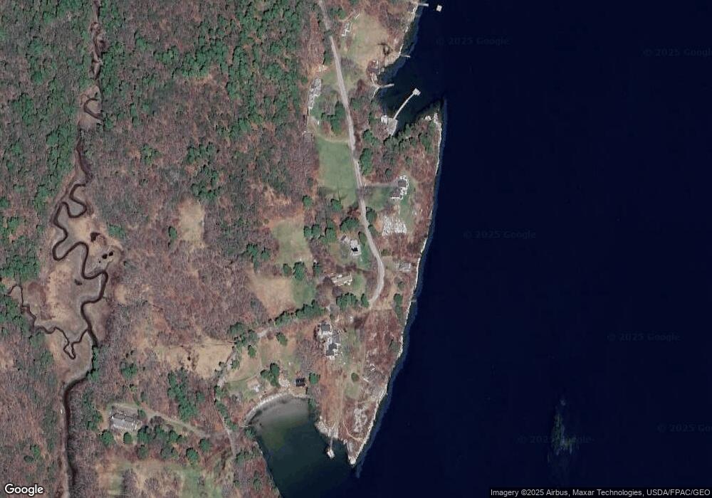
Map
Nearby Homes
- 124 Main Rd
- 44-4 Windrush Ln
- M4 L12.30B McCarty Cove Rd
- 119 Knubble Bay Rd
- 92 Brooks Cove Rd
- 23 Sunny Acres Ln
- 0 Maine 144
- 576 Back River Rd
- Lot 45-B Cove Rd
- 68 Narrows Way
- 91 Tree Farm Dr
- 1 Echo Lake Rd
- 712 Back River Rd
- P/O 4-1 Camerons Point Rd
- 44 Stone Point Ln
- 32 Murray Hill Rd
- 19 Riverside Ave
- 302 Townsend Ave
- 693 Wiscasset Rd
- 284 Hockomock Rd