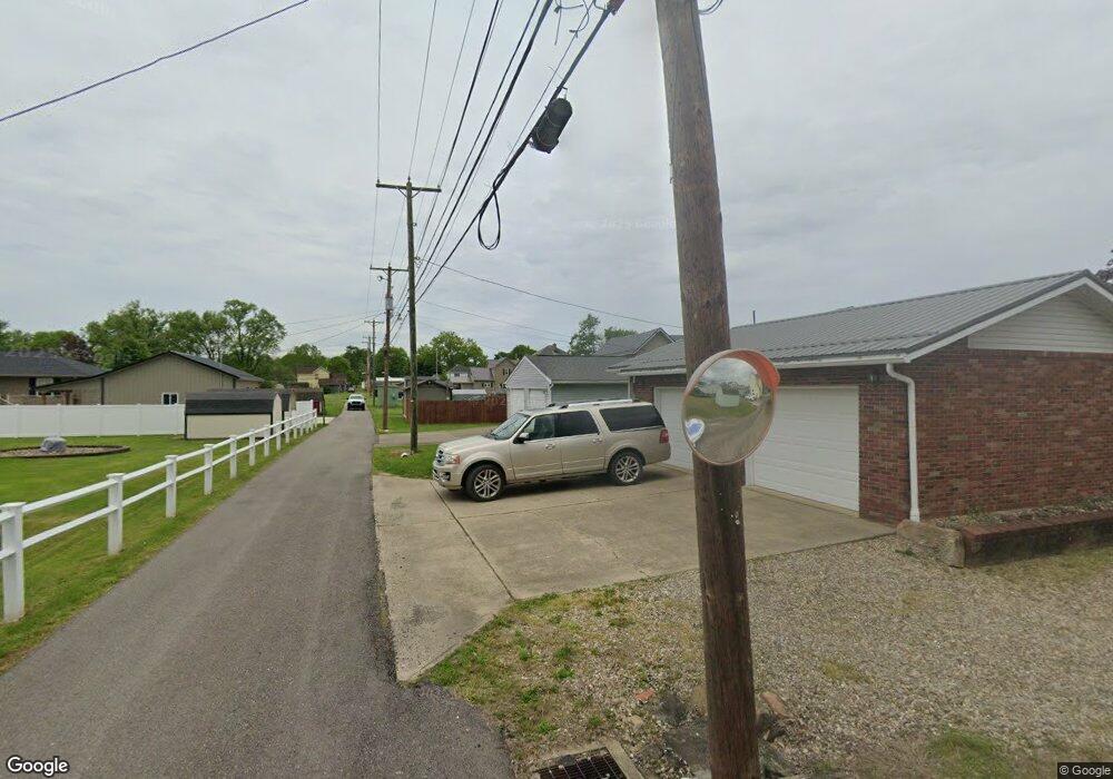
221 Euclid Ave Byesville, OH 43723
Estimated Value: $162,934 - $180,000
3
Beds
1
Bath
1,464
Sq Ft
$116/Sq Ft
Est. Value
About This Home
This home is located at 221 Euclid Ave, Byesville, OH 43723 and is currently estimated at $169,484, approximately $115 per square foot. 221 Euclid Ave is a home located in Guernsey County with nearby schools including Meadowbrook High School, Foxfire East Academy, and Cherish Christian Academy.
Ownership History
Date
Name
Owned For
Owner Type
Purchase Details
Closed on
Apr 25, 2013
Sold by
Mccullough Sarah
Bought by
Mccullough Aaron
Current Estimated Value
Purchase Details
Closed on
Mar 22, 2006
Sold by
D & D Real Estate Investors
Bought by
Willis Doreen R
Home Financials for this Owner
Home Financials are based on the most recent Mortgage that was taken out on this home.
Original Mortgage
$65,700
Outstanding Balance
$37,590
Interest Rate
6.38%
Mortgage Type
Credit Line Revolving
Estimated Equity
$131,894
Create a Home Valuation Report for This Property
The Home Valuation Report is an in-depth analysis detailing your home's value as well as a comparison with similar homes in the area
Home Values in the Area
Average Home Value in this Area
Purchase History
| Date | Buyer | Sale Price | Title Company |
|---|---|---|---|
| Mccullough Aaron | -- | None Available | |
| Willis Doreen R | -- | -- |
Source: Public Records
Mortgage History
| Date | Status | Borrower | Loan Amount |
|---|---|---|---|
| Open | Willis Doreen R | $65,700 |
Source: Public Records
Tax History Compared to Growth
Tax History
| Year | Tax Paid | Tax Assessment Tax Assessment Total Assessment is a certain percentage of the fair market value that is determined by local assessors to be the total taxable value of land and additions on the property. | Land | Improvement |
|---|---|---|---|---|
| 2024 | $1,492 | $38,990 | $3,311 | $35,679 |
| 2023 | $1,492 | $30,943 | $2,628 | $28,315 |
| 2022 | $1,293 | $30,940 | $2,630 | $28,310 |
| 2021 | $1,237 | $30,940 | $2,630 | $28,310 |
| 2020 | $1,171 | $29,760 | $2,630 | $27,130 |
| 2019 | $1,162 | $29,760 | $2,630 | $27,130 |
| 2018 | $1,093 | $29,760 | $2,630 | $27,130 |
| 2017 | $1,031 | $25,810 | $2,290 | $23,520 |
| 2016 | $1,030 | $25,810 | $2,290 | $23,520 |
| 2015 | $1,030 | $25,810 | $2,290 | $23,520 |
| 2014 | -- | $23,190 | $2,080 | $21,110 |
| 2013 | $943 | $23,190 | $2,080 | $21,110 |
Source: Public Records
Map
Nearby Homes
- 229 S 5th St
- 227 S 5th St
- 0 Main St
- 334 Main St
- 0 S 9th St
- 210 Meek Ave
- 208 Meek Ave
- 202 Meek Ave
- 132 N 10th St
- 59528 Vocational Rd
- 10305 Orr St
- 10060 Burt St
- 10240 Morton St
- 11275 Ideal Rd
- 60645 Southgate Rd
- 9585 Country Club Estate Dr
- 10164 Sycamore St
- 60978 Oakwood Rd
- 300 Meadowbrook Dr
- 12040 Robins Rd
- 223 Euclid Ave
- 220 Mc Laughlin Ave
- 217 Euclid Ave
- 222 Mclaughlin Ave
- 224 Mclaughlin Ave
- 218 Mclaughlin Ave
- 215 Euclid Ave
- 218 Euclid Ave
- 220 Euclid Ave
- 224 Euclid Ave
- 213 Euclid Ave
- 214 Mclaughlin Ave
- 216 Euclid Ave
- 229 Euclid Ave
- 228 Euclid Ave
- 223 Mclaughlin Ave
- 211 Euclid Ave
- 225 Race Ave
- 227 Race Ave
- 212 Mc Laughlin Ave