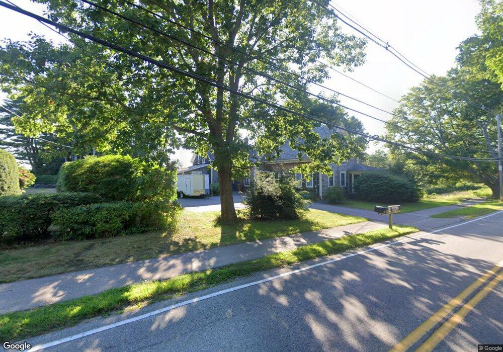
221 Ferry Rd Saco, ME 04072
East Saco NeighborhoodEstimated Value: $656,000 - $810,000
4
Beds
2
Baths
1,831
Sq Ft
$390/Sq Ft
Est. Value
About This Home
This home is located at 221 Ferry Rd, Saco, ME 04072 and is currently estimated at $714,301, approximately $390 per square foot. 221 Ferry Rd is a home located in York County with nearby schools including C K Burns School, Saco Middle School, and Saint James School.
Ownership History
Date
Name
Owned For
Owner Type
Purchase Details
Closed on
Nov 2, 2023
Sold by
Rosmann Jinda C and Clark John A
Bought by
Saco City Of
Current Estimated Value
Purchase Details
Closed on
Jul 30, 2013
Sold by
Clark Richard E and Clark Janice K
Bought by
Rosmann Jinda C and Clark John A
Create a Home Valuation Report for This Property
The Home Valuation Report is an in-depth analysis detailing your home's value as well as a comparison with similar homes in the area
Home Values in the Area
Average Home Value in this Area
Purchase History
| Date | Buyer | Sale Price | Title Company |
|---|---|---|---|
| Saco City Of | -- | None Available | |
| Desimone John | $688,500 | None Available | |
| Saco City Of | -- | None Available | |
| Desimone John | $688,500 | None Available | |
| Saco City Of | -- | None Available | |
| Desimone John | $688,500 | None Available | |
| Rosmann Jinda C | -- | -- | |
| Rosmann Jinda C | -- | -- |
Source: Public Records
Tax History
| Year | Tax Paid | Tax Assessment Tax Assessment Total Assessment is a certain percentage of the fair market value that is determined by local assessors to be the total taxable value of land and additions on the property. | Land | Improvement |
|---|---|---|---|---|
| 2024 | $6,011 | $427,800 | $231,200 | $196,600 |
| 2023 | $6,329 | $429,100 | $232,500 | $196,600 |
| 2022 | $5,763 | $314,400 | $177,300 | $137,100 |
| 2021 | $5,543 | $293,600 | $161,700 | $131,900 |
| 2020 | $5,571 | $283,200 | $161,600 | $121,600 |
| 2019 | $5,196 | $283,200 | $161,600 | $121,600 |
| 2018 | $4,909 | $275,900 | $154,300 | $121,600 |
| 2017 | $4,745 | $263,300 | $144,700 | $118,600 |
| 2016 | $4,576 | $270,800 | $139,900 | $130,900 |
| 2015 | $5,435 | $282,800 | $139,900 | $142,900 |
| 2014 | $5,266 | $282,800 | $139,900 | $142,900 |
| 2013 | $5,254 | $282,800 | $139,900 | $142,900 |
Source: Public Records
Map
Nearby Homes
- TBD 530 Ferry Rd
- 3 Walker Dr Unit 101
- 4 Walker Dr Unit 101
- 3 Walker Dr Unit 101
- 353 Pool St
- 378 Pool St
- 343 Pool St
- 15 Thunder Rd
- 2 Breakwater Way Unit 2
- 11 Peabody Ln Unit 101
- 11 Peabody Ln Unit 102
- 6 Decary Rd
- 38 Pine Ridge Rd
- 30 Vines Rd
- 4 Mainsail Ln Unit 4
- 6 Tide Water Dr
- 8 Heritage Way Unit 21
- 16 Heritage Way Unit 17
- 20 Heritage Way Unit 15
- 25 Heritage Way Unit 11
Your Personal Tour Guide
Ask me questions while you tour the home.