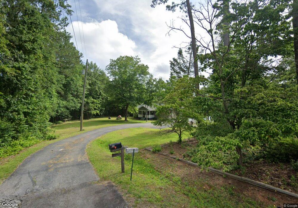
221 Freeman Dr Hartwell, GA 30643
Estimated Value: $395,000 - $630,000
--
Bed
2
Baths
1,400
Sq Ft
$367/Sq Ft
Est. Value
About This Home
This home is located at 221 Freeman Dr, Hartwell, GA 30643 and is currently estimated at $513,679, approximately $366 per square foot. 221 Freeman Dr is a home located in Hart County with nearby schools including Hart County High School.
Ownership History
Date
Name
Owned For
Owner Type
Purchase Details
Closed on
Sep 11, 2015
Sold by
Beatenbough Buren
Bought by
Beatenbough Thesa Crain
Current Estimated Value
Home Financials for this Owner
Home Financials are based on the most recent Mortgage that was taken out on this home.
Original Mortgage
$225,000
Outstanding Balance
$125,114
Interest Rate
3.97%
Mortgage Type
New Conventional
Estimated Equity
$388,565
Purchase Details
Closed on
May 1, 1999
Purchase Details
Closed on
Feb 1, 1997
Purchase Details
Closed on
Dec 1, 1987
Create a Home Valuation Report for This Property
The Home Valuation Report is an in-depth analysis detailing your home's value as well as a comparison with similar homes in the area
Home Values in the Area
Average Home Value in this Area
Purchase History
| Date | Buyer | Sale Price | Title Company |
|---|---|---|---|
| Beatenbough Thesa Crain | $225,000 | -- | |
| -- | $175,000 | -- | |
| -- | -- | -- | |
| -- | -- | -- |
Source: Public Records
Mortgage History
| Date | Status | Borrower | Loan Amount |
|---|---|---|---|
| Open | Beatenbough Thesa Crain | $225,000 |
Source: Public Records
Tax History Compared to Growth
Tax History
| Year | Tax Paid | Tax Assessment Tax Assessment Total Assessment is a certain percentage of the fair market value that is determined by local assessors to be the total taxable value of land and additions on the property. | Land | Improvement |
|---|---|---|---|---|
| 2024 | $2,562 | $165,918 | $112,000 | $53,918 |
| 2023 | $2,668 | $160,214 | $112,000 | $48,214 |
| 2022 | $2,601 | $156,218 | $112,000 | $44,218 |
| 2021 | $2,214 | $119,385 | $82,000 | $37,385 |
| 2020 | $2,208 | $114,036 | $78,000 | $36,036 |
| 2019 | $2,167 | $110,844 | $76,000 | $34,844 |
| 2018 | $2,043 | $103,347 | $67,200 | $36,147 |
| 2017 | $2,048 | $103,011 | $67,200 | $35,811 |
| 2016 | $2,082 | $103,513 | $67,200 | $36,313 |
| 2015 | $1,976 | $103,488 | $67,200 | $36,288 |
| 2014 | $2,023 | $103,876 | $68,000 | $35,876 |
| 2013 | -- | $104,481 | $68,000 | $36,481 |
Source: Public Records
Map
Nearby Homes
- 210 Rosewood Cir
- 2375 Reed Creek Hwy
- 256 Tahoe Dr
- 01 Mount Olivet Rd
- LOT 16 Pointe Sidney Dr
- 9 Pointe Sidney Dr
- 1258 Old Beacon Light Rd
- 134 Yorkshores Ln
- 516 Fred King Rd
- 330 Ivy Trail
- 179 Rainbow Ln
- 1845 N Forest Ave
- 680 Fred King Rd
- 0 Honeysuckle Rd Unit 10612879
- 73 Woodlake Dr Unit B
- 73 Woodlake Dr
- 71 Woodlake Dr Unit A
- 71 Woodlake Dr
- 0 Winding Way Unit LOT G 10599992
- 1233 N Forest Ave Unit 5 HOMES
- 184 Freeman Dr
- 168 Freeman Dr
- 132 Freeman Dr
- 174 Rosewood Cir
- 0 Freeman Dr and Rosewood Cir Unit 1 8501487
- 0 Freeman Dr and Rosewood Cir Unit 3 8501495
- 0 Freeman Dr and Rosewood Cir Unit 2 8501493
- 0 Freeman Dr and Rosewood Cir Unit 1
- Lot 3 Freeman Dr
- 1321 Freeman Dr
- 144 Mount Olivet Rd
- 212 Rosewood Cir
- 120 Mount Olivet Rd
- 106 Mount Olivet Rd
- 139 Freeman Dr
- 100 Mount Olivet Rd
- 276 Rosewood Cir
- 0 Mt Olivet Rd Unit 6 8418242
- 0 Mt Olivet Rd Unit 5 8418239
- 0 Mt Olivet Rd Unit 4 8418236