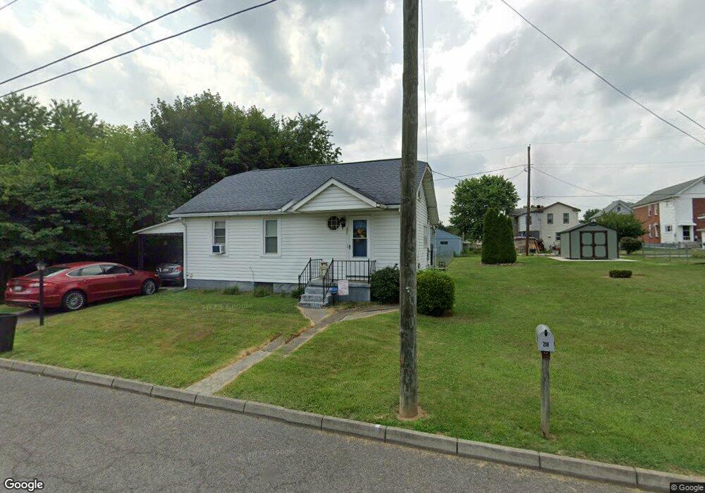
221 Gleason St Cumberland, MD 21502
Estimated Value: $100,000 - $121,452
2
Beds
1
Bath
754
Sq Ft
$143/Sq Ft
Est. Value
About This Home
This home is located at 221 Gleason St, Cumberland, MD 21502 and is currently estimated at $107,613, approximately $142 per square foot. 221 Gleason St is a home located in Allegany County with nearby schools including South Penn Elementary School, Washington Middle School, and Fort Hill High School.
Ownership History
Date
Name
Owned For
Owner Type
Purchase Details
Closed on
May 22, 2009
Sold by
Stump Justin M
Bought by
Stump Justin
Current Estimated Value
Purchase Details
Closed on
Dec 31, 2008
Sold by
Hudson Wanetta M and Powell Debbie M
Bought by
Stump Justin M
Home Financials for this Owner
Home Financials are based on the most recent Mortgage that was taken out on this home.
Original Mortgage
$35,280
Interest Rate
6.08%
Mortgage Type
Unknown
Purchase Details
Closed on
Dec 17, 2008
Sold by
Hudson Wanetta M and Powell Debbie M
Bought by
Stump Justin M
Home Financials for this Owner
Home Financials are based on the most recent Mortgage that was taken out on this home.
Original Mortgage
$35,280
Interest Rate
6.08%
Mortgage Type
Unknown
Create a Home Valuation Report for This Property
The Home Valuation Report is an in-depth analysis detailing your home's value as well as a comparison with similar homes in the area
Home Values in the Area
Average Home Value in this Area
Purchase History
| Date | Buyer | Sale Price | Title Company |
|---|---|---|---|
| Stump Justin | -- | -- | |
| Stump Justin M | $70,000 | -- | |
| Stump Justin M | $70,000 | -- |
Source: Public Records
Mortgage History
| Date | Status | Borrower | Loan Amount |
|---|---|---|---|
| Previous Owner | Stump Justin M | $35,280 | |
| Previous Owner | Stump Justin M | $38,220 | |
| Previous Owner | Stump Justin M | $38,220 |
Source: Public Records
Tax History Compared to Growth
Tax History
| Year | Tax Paid | Tax Assessment Tax Assessment Total Assessment is a certain percentage of the fair market value that is determined by local assessors to be the total taxable value of land and additions on the property. | Land | Improvement |
|---|---|---|---|---|
| 2025 | $537 | $66,367 | $0 | $0 |
| 2024 | $537 | $60,533 | $0 | $0 |
| 2023 | $509 | $54,700 | $10,000 | $44,700 |
| 2022 | $497 | $53,567 | $0 | $0 |
| 2021 | $490 | $52,433 | $0 | $0 |
| 2020 | $476 | $51,300 | $8,700 | $42,600 |
| 2019 | $475 | $50,833 | $0 | $0 |
| 2018 | $479 | $50,367 | $0 | $0 |
| 2017 | $471 | $49,900 | $0 | $0 |
| 2016 | $239 | $49,900 | $0 | $0 |
| 2015 | $492 | $49,900 | $0 | $0 |
| 2014 | $492 | $51,000 | $0 | $0 |
Source: Public Records
Map
Nearby Homes
- 237 Gleason St
- 233 Gleason St
- 230 New Hampshire Ave
- 232 Gleason St
- 238 New Hampshire Ave
- 242 Gleason St
- 222 New Hampshire Ave
- 207 Gleason St
- 216 New Hampshire Ave
- 224 Gleason St
- 208 Gleason St
- 235 New Hampshire Ave
- 212 New Hampshire Ave
- 219 New Hampshire Ave
- 241 New Hampshire Ave
- 215 New Hampshire Ave
- 205 Gleason St
- 206 Gleason St
- 1050 W Industrial Blvd
- 208 New Hampshire Ave