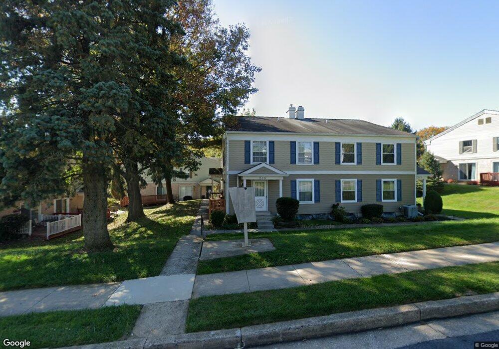
221 Hammershire Rd Reisterstown, MD 21136
Estimated Value: $175,772 - $215,000
--
Bed
2
Baths
968
Sq Ft
$208/Sq Ft
Est. Value
About This Home
This home is located at 221 Hammershire Rd, Reisterstown, MD 21136 and is currently estimated at $200,943, approximately $207 per square foot. 221 Hammershire Rd is a home located in Baltimore County with nearby schools including Timber Grove Elementary, Franklin Middle, and Franklin High.
Ownership History
Date
Name
Owned For
Owner Type
Purchase Details
Closed on
Mar 28, 2007
Sold by
Kottler Management Limited
Bought by
221 Hammershire Llc
Current Estimated Value
Purchase Details
Closed on
Feb 26, 2007
Sold by
Kottler Management Limited
Bought by
221 Hammershire Llc
Purchase Details
Closed on
Jun 3, 2003
Sold by
Balaam Dion L
Bought by
Kottler Management Limited and Liability Company
Purchase Details
Closed on
Jun 25, 2002
Sold by
Bustard Richard Todd
Bought by
Balaam Dion L and Balaam Nicole L
Create a Home Valuation Report for This Property
The Home Valuation Report is an in-depth analysis detailing your home's value as well as a comparison with similar homes in the area
Home Values in the Area
Average Home Value in this Area
Purchase History
| Date | Buyer | Sale Price | Title Company |
|---|---|---|---|
| 221 Hammershire Llc | $150,000 | -- | |
| 221 Hammershire Llc | $150,000 | -- | |
| Kottler Management Limited | $67,000 | -- | |
| Balaam Dion L | $59,000 | -- |
Source: Public Records
Tax History Compared to Growth
Tax History
| Year | Tax Paid | Tax Assessment Tax Assessment Total Assessment is a certain percentage of the fair market value that is determined by local assessors to be the total taxable value of land and additions on the property. | Land | Improvement |
|---|---|---|---|---|
| 2025 | $2,431 | $129,000 | -- | -- |
| 2024 | $2,431 | $112,700 | $37,400 | $75,300 |
| 2023 | $2,343 | $108,333 | $0 | $0 |
| 2022 | $2,233 | $103,967 | $0 | $0 |
| 2021 | $1,085 | $99,600 | $37,400 | $62,200 |
| 2020 | $1,165 | $96,133 | $0 | $0 |
| 2019 | $1,123 | $92,667 | $0 | $0 |
| 2018 | $1,967 | $89,200 | $37,400 | $51,800 |
| 2017 | $1,819 | $87,900 | $0 | $0 |
| 2016 | $2,185 | $86,600 | $0 | $0 |
| 2015 | $2,185 | $85,300 | $0 | $0 |
| 2014 | $2,185 | $85,300 | $0 | $0 |
Source: Public Records
Map
Nearby Homes
- 60 Ewing Dr
- 82 Ewing Dr
- 22 Fox Run Ct
- 133 Hammershire Rd
- 125 Hammershire Rd
- 26 Mission Wood Way
- 247 Candytuft Rd
- 237 Candytuft Rd
- 318 Bryanstone Rd
- 231 Candytuft Rd
- 331 Bryanstone Rd
- 203 Cork Ln Unit T4
- 118 Mardan Dr
- 208 Parkholme Cir
- 18 Austin Rd
- 101 Fitz Ct Unit 202
- 105 Fitz Ct Unit 101
- 1012 Dunholme Rd
- 200 Erin Way Unit 204
- 312 E Cherry Hill Rd
- 223 Hammershire Rd
- 231 Hammershire Rd
- 215 Hammershire Rd
- 233 Hammershire Rd
- 229 Hammershire Rd
- 225 Hammershire Rd
- 219 Hammershire Rd
- 217 Hammershire Rd
- 227 Hammershire Rd
- 209 Hammershire Rd
- 235 Hammershire Rd
- 207 Hammershire Rd
- 237 Hammershire Rd
- 211 Hammershire Rd
- 239 Hammershire Rd
- 205 Hammershire Rd
- 203 Hammershire Rd
- 201 Hammershire Rd
- 7 Ewing Dr
- 5 Ewing Dr