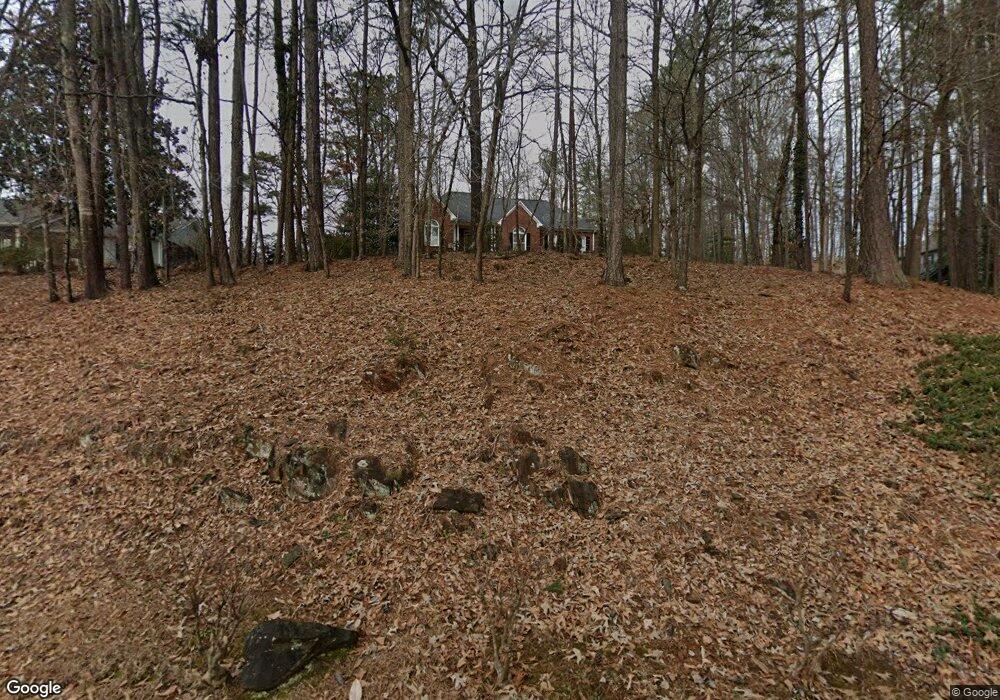
221 Hart Cir Dallas, GA 30132
Estimated Value: $324,891 - $391,000
3
Beds
2
Baths
1,755
Sq Ft
$203/Sq Ft
Est. Value
About This Home
This home is located at 221 Hart Cir, Dallas, GA 30132 and is currently estimated at $355,723, approximately $202 per square foot. 221 Hart Cir is a home located in Paulding County with nearby schools including Northside Elementary School, Herschel Jones Middle School, and Paulding County High School.
Ownership History
Date
Name
Owned For
Owner Type
Purchase Details
Closed on
Jun 27, 2018
Sold by
Ayers William Ryan
Bought by
Ayers William Ryan and Ayers Elizabeth Christine
Current Estimated Value
Home Financials for this Owner
Home Financials are based on the most recent Mortgage that was taken out on this home.
Original Mortgage
$203,250
Outstanding Balance
$177,113
Interest Rate
4.75%
Mortgage Type
FHA
Estimated Equity
$178,610
Purchase Details
Closed on
Mar 10, 2011
Sold by
Osborne G W Estate
Purchase Details
Closed on
Dec 30, 2010
Sold by
Osborne G W
Create a Home Valuation Report for This Property
The Home Valuation Report is an in-depth analysis detailing your home's value as well as a comparison with similar homes in the area
Home Values in the Area
Average Home Value in this Area
Purchase History
| Date | Buyer | Sale Price | Title Company |
|---|---|---|---|
| Ayers William Ryan | -- | -- | |
| Ayers William Ryan | $207,000 | -- | |
| -- | -- | -- | |
| -- | -- | -- |
Source: Public Records
Mortgage History
| Date | Status | Borrower | Loan Amount |
|---|---|---|---|
| Open | Ayers William Ryan | $203,250 | |
| Closed | Ayers William Ryan | $203,250 |
Source: Public Records
Tax History Compared to Growth
Tax History
| Year | Tax Paid | Tax Assessment Tax Assessment Total Assessment is a certain percentage of the fair market value that is determined by local assessors to be the total taxable value of land and additions on the property. | Land | Improvement |
|---|---|---|---|---|
| 2024 | $4,827 | $154,680 | $12,000 | $142,680 |
| 2023 | $4,669 | $154,408 | $12,000 | $142,408 |
| 2022 | $3,449 | $132,292 | $12,000 | $120,292 |
| 2021 | $3,012 | $103,656 | $12,000 | $91,656 |
| 2020 | $3,552 | $104,868 | $12,000 | $92,868 |
| 2019 | $2,840 | $93,628 | $12,000 | $81,628 |
| 2018 | $754 | $71,060 | $12,000 | $59,060 |
| 2017 | $1,361 | $88,884 | $20,000 | $68,884 |
| 2016 | $1,124 | $75,320 | $20,000 | $55,320 |
| 2015 | $851 | $75,852 | $20,000 | $55,852 |
| 2014 | $617 | $52,984 | $20,000 | $32,984 |
| 2013 | -- | $44,400 | $20,000 | $24,400 |
Source: Public Records
Map
Nearby Homes
- 205 Hart Cir
- 220 Confederate Ave
- 304 Oscar Way
- 210 N Johnston St
- 200 Polk Ave
- 204 Polk Ave Unit 1
- 000 Westminster Way
- 0 Polk Ln Unit 25025134
- 69 Walraven Place
- Spruce Plan at Meadow Pines - Bungalow Series
- Mulberry Plan at Meadow Pines - Bungalow Series
- Linden Plan at Meadow Pines - Bungalow Series
- Hawthorne Plan at Meadow Pines - Bungalow Series
- Aspen Plan at Meadow Pines - Bungalow Series
- 67 Polk Ln
- 0 Merchants Dr Unit 7658248
- 0 Merchants Dr Unit 10615716
- 234 E Memorial Dr
- 109 Westwood Dr
- 250 E Memorial Dr
- 219 Hart Cir
- 114 Cooper Place
- 225 Hart Cir
- 217 Hart Cir
- 126 Cooper Place
- 128 Cooper Place
- 214 Hart Cir
- 115 Cooper Place
- 227 Hart Cir
- 110 Kirk Dr
- 208 Hart Cir
- 215 Hart Cir
- 212 Hart Cir
- 108 Kirk Dr
- 411 Confederate Ave
- 427 Confederate Ave
- 445 Confederate Ave
- 106 Kirk Dr
- 415 Confederate Ave
- 435 Confederate Ave