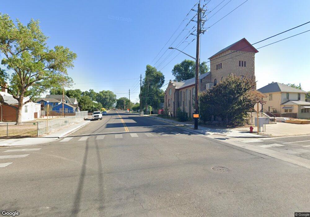
221 Highway 6&50 Fruita, CO 81521
Estimated Value: $1,021,975
--
Bed
--
Bath
7,200
Sq Ft
$142/Sq Ft
Est. Value
About This Home
This home is located at 221 Highway 6&50, Fruita, CO 81521 and is currently estimated at $1,021,975, approximately $141 per square foot. 221 Highway 6&50 is a home located in Mesa County with nearby schools including Shelledy Elementary School, Fruita Middle School, and Fruita 8/9 School.
Ownership History
Date
Name
Owned For
Owner Type
Purchase Details
Closed on
Apr 4, 2025
Sold by
Segrest Luther Kenley and Segrest Kinley
Bought by
221 Hwy 6 Llc
Current Estimated Value
Home Financials for this Owner
Home Financials are based on the most recent Mortgage that was taken out on this home.
Original Mortgage
$800,000
Outstanding Balance
$743,473
Interest Rate
7%
Mortgage Type
New Conventional
Estimated Equity
$278,502
Purchase Details
Closed on
Jul 28, 1993
Sold by
Amoco Oil Company
Bought by
Segrest Luther Kinley
Create a Home Valuation Report for This Property
The Home Valuation Report is an in-depth analysis detailing your home's value as well as a comparison with similar homes in the area
Home Values in the Area
Average Home Value in this Area
Purchase History
| Date | Buyer | Sale Price | Title Company |
|---|---|---|---|
| 221 Hwy 6 Llc | $1,000,000 | None Listed On Document | |
| Segrest Luther Kinley | $25,000 | -- |
Source: Public Records
Mortgage History
| Date | Status | Borrower | Loan Amount |
|---|---|---|---|
| Open | 221 Hwy 6 Llc | $800,000 |
Source: Public Records
Tax History Compared to Growth
Tax History
| Year | Tax Paid | Tax Assessment Tax Assessment Total Assessment is a certain percentage of the fair market value that is determined by local assessors to be the total taxable value of land and additions on the property. | Land | Improvement |
|---|---|---|---|---|
| 2024 | $20,937 | $256,680 | $73,350 | $183,330 |
| 2023 | $20,937 | $256,680 | $73,350 | $183,330 |
| 2022 | $21,005 | $253,310 | $67,270 | $186,040 |
| 2021 | $20,556 | $253,310 | $67,270 | $186,040 |
| 2020 | $18,002 | $226,150 | $71,750 | $154,400 |
| 2019 | $17,157 | $226,150 | $71,750 | $154,400 |
| 2018 | $18,195 | $221,250 | $53,820 | $167,430 |
| 2017 | $17,477 | $221,250 | $53,820 | $167,430 |
| 2016 | $14,491 | $203,490 | $26,910 | $176,580 |
| 2015 | $14,667 | $203,490 | $26,910 | $176,580 |
| 2014 | $23,818 | $332,530 | $26,910 | $305,620 |
Source: Public Records
Map
Nearby Homes
- 419 S Ash St
- 813 E Cleveland Ave
- 157 N Orchard St
- 421 W Aspen Ave
- 241 S Sycamore St
- 128 N Coulson St
- 905 E Cleveland Ave
- 932 E Carolina Ave
- 565 W Pabor Way
- 853 Raptor Rd
- 1057 E Harrison Ave
- 1039 E Aspen Ave
- 411 Cedar Glen Way
- 767 Chelsea Ct
- 497 David Ct Unit B
- 1112 Windsor Park Dr
- 804 & 812 W Cedar Ct
- 825 E Ottley Ave Unit B5
- 825 E Ottley Ave Unit B7
- 825 E Ottley Ave Unit E 3
- 221 Highway 6 and 50
- 240 S Peach St
- 221 S Peach St
- 246 S Peach St
- 242 S Mulberry St
- 242 S Mulberry St Unit Retail
- 232 S Peach St
- 252 S Peach St
- 303 Highway 6&50
- 222 S Peach St
- 205 S Peach St
- 241 S Elm St
- 235 S Elm St
- 223 S Mulberry St
- 204 S Mulberry St
- 231 N Elm St
- 217 S Mulberry St
- 318 E Mccune Ave
- 318 E Mccune Ave
- 333 Highway 6 and 50