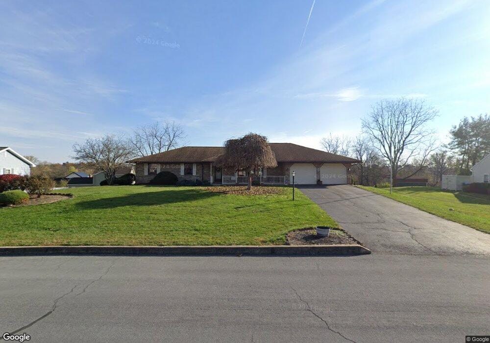
221 Lamplite Dr Carlisle, PA 17013
Estimated Value: $368,000 - $404,000
3
Beds
2
Baths
1,911
Sq Ft
$202/Sq Ft
Est. Value
About This Home
This home is located at 221 Lamplite Dr, Carlisle, PA 17013 and is currently estimated at $385,618, approximately $201 per square foot. 221 Lamplite Dr is a home located in Cumberland County with nearby schools including Bellaire Elementary School, Wilson Middle School, and Carlisle Area High School.
Ownership History
Date
Name
Owned For
Owner Type
Purchase Details
Closed on
Jul 12, 2019
Sold by
Kuenzie James E and Kuenzie Pamela J
Bought by
Cox Christine M and Kuenzie Family Trust
Current Estimated Value
Purchase Details
Closed on
Aug 31, 2006
Sold by
Koester Robert J
Bought by
Kuenize James E
Home Financials for this Owner
Home Financials are based on the most recent Mortgage that was taken out on this home.
Original Mortgage
$185,200
Interest Rate
6.83%
Mortgage Type
New Conventional
Create a Home Valuation Report for This Property
The Home Valuation Report is an in-depth analysis detailing your home's value as well as a comparison with similar homes in the area
Home Values in the Area
Average Home Value in this Area
Purchase History
| Date | Buyer | Sale Price | Title Company |
|---|---|---|---|
| Cox Christine M | -- | None Available | |
| Kuenize James E | $231,500 | -- |
Source: Public Records
Mortgage History
| Date | Status | Borrower | Loan Amount |
|---|---|---|---|
| Previous Owner | Kuenize James E | $185,200 |
Source: Public Records
Tax History Compared to Growth
Tax History
| Year | Tax Paid | Tax Assessment Tax Assessment Total Assessment is a certain percentage of the fair market value that is determined by local assessors to be the total taxable value of land and additions on the property. | Land | Improvement |
|---|---|---|---|---|
| 2025 | $4,645 | $221,700 | $60,000 | $161,700 |
| 2024 | $4,468 | $221,700 | $60,000 | $161,700 |
| 2023 | $4,307 | $221,700 | $60,000 | $161,700 |
| 2022 | $4,237 | $221,700 | $60,000 | $161,700 |
| 2021 | $4,169 | $221,700 | $60,000 | $161,700 |
| 2020 | $4,070 | $221,700 | $60,000 | $161,700 |
| 2019 | $3,974 | $221,700 | $60,000 | $161,700 |
| 2018 | $3,870 | $221,700 | $60,000 | $161,700 |
| 2017 | $3,782 | $221,700 | $60,000 | $161,700 |
| 2016 | -- | $221,700 | $60,000 | $161,700 |
| 2015 | -- | $221,700 | $60,000 | $161,700 |
| 2014 | -- | $221,700 | $60,000 | $161,700 |
Source: Public Records
Map
Nearby Homes
- 181 Shatto Dr
- 140 Shatto Dr
- 40 Moongale Dr
- 2 Stream Dr
- 10 Family Dr
- 10 Stream Dr
- 4 Stream Dr
- 3 Lantern Ct
- 23 American Ave
- 21 American Ave
- 6 Stream Dr
- 12 Family Dr
- Bryson Plan at Hays Landing
- Monroe Plan at Hays Landing
- Willow Plan at Hays Landing
- Mackenzie Plan at Hays Landing
- Cooper Plan at Hays Landing
- Charlotte Plan at Hays Landing
- Dalton Plan at Hays Landing
- Heron Plan at Hays Landing