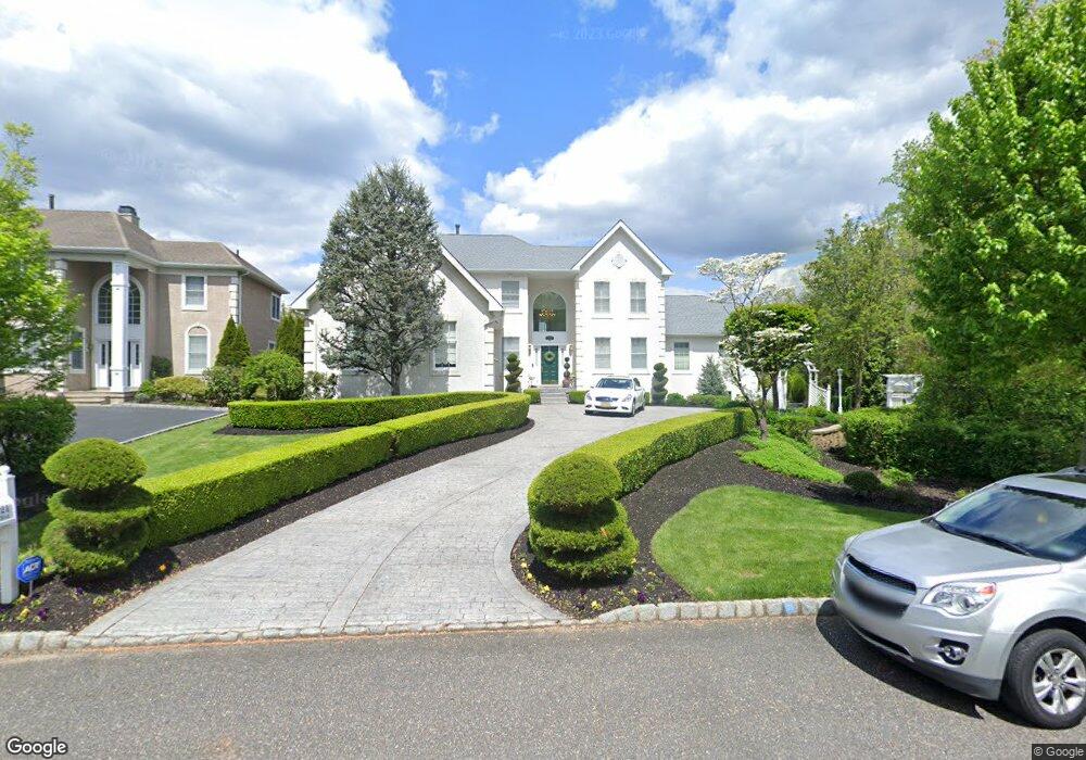
221 Laurel Creek Blvd Moorestown, NJ 08057
Estimated Value: $1,358,929 - $1,654,000
--
Bed
--
Bath
4,634
Sq Ft
$330/Sq Ft
Est. Value
About This Home
This home is located at 221 Laurel Creek Blvd, Moorestown, NJ 08057 and is currently estimated at $1,527,976, approximately $329 per square foot. 221 Laurel Creek Blvd is a home located in Burlington County with nearby schools including South Valley Elementary School, Moorestown Upper Elementary School, and William Allen Middle School.
Ownership History
Date
Name
Owned For
Owner Type
Purchase Details
Closed on
Nov 11, 1996
Sold by
Laurel Creek Lp
Bought by
Berardi Louis P and Berardi Mary E
Current Estimated Value
Home Financials for this Owner
Home Financials are based on the most recent Mortgage that was taken out on this home.
Original Mortgage
$275,000
Interest Rate
7.33%
Create a Home Valuation Report for This Property
The Home Valuation Report is an in-depth analysis detailing your home's value as well as a comparison with similar homes in the area
Home Values in the Area
Average Home Value in this Area
Purchase History
| Date | Buyer | Sale Price | Title Company |
|---|---|---|---|
| Berardi Louis P | $407,523 | -- |
Source: Public Records
Mortgage History
| Date | Status | Borrower | Loan Amount |
|---|---|---|---|
| Closed | Berardi Louis P | $275,000 |
Source: Public Records
Tax History Compared to Growth
Tax History
| Year | Tax Paid | Tax Assessment Tax Assessment Total Assessment is a certain percentage of the fair market value that is determined by local assessors to be the total taxable value of land and additions on the property. | Land | Improvement |
|---|---|---|---|---|
| 2025 | $22,248 | $784,200 | $247,100 | $537,100 |
| 2024 | $20,679 | $784,200 | $247,100 | $537,100 |
| 2023 | $20,198 | $784,200 | $247,100 | $537,100 |
| 2022 | $20,198 | $751,700 | $0 | $0 |
| 2021 | $20,198 | $751,700 | $0 | $0 |
| 2020 | $20,070 | $751,700 | $0 | $0 |
| 2019 | $18,959 | $784,200 | $247,100 | $537,100 |
| 2018 | $18,752 | $734,800 | $247,100 | $487,700 |
| 2017 | $18,682 | $725,800 | $247,100 | $478,700 |
| 2016 | $18,617 | $725,800 | $247,100 | $478,700 |
| 2015 | $18,392 | $725,800 | $247,100 | $478,700 |
| 2014 | $17,463 | $725,800 | $247,100 | $478,700 |
Source: Public Records
Map
Nearby Homes
- 14 Baltusrol Terrace
- 158 Sarazen Dr
- 950 Bortons Landing Rd
- 40 Palmer Dr Unit 110
- 12 Cove Rd
- 20 Starboard Way
- 42 Landing Ct
- 6 Buoy Dr
- 901 Mcelwee Rd
- 218 Starboard Way
- 861 Centerton Rd
- 5 Birch Dr
- 482 Monte Farm Rd
- 10 Crows Nest Ct
- 79 Tiffany Ln
- 21 Beechnut Ln
- 8 Catalpa Ln
- 101 Tiffany Ln
- 69 Sister's Farmstead Rd
- 22 Cardinal Way
- 219 Laurel Creek Blvd
- 217 Laurel Creek Blvd
- 215 Laurel Creek Blvd
- 218 Laurel Creek Blvd
- 213 Laurel Creek Blvd
- 103 Inverness Dr
- 101 Inverness Dr
- 211 Laurel Creek Blvd
- 105 Inverness Dr
- 216 Laurel Creek Blvd
- 214 Laurel Creek Blvd
- 209 Laurel Creek Blvd
- 107 Inverness Dr
- 300 Laurel Creek Blvd
- 116 Muirfield Ct
- 212 Laurel Creek Blvd
- 118 Muirfield Ct
- 207 Laurel Creek Blvd
- 4 Sawgrass Ct
- 114 Muirfield Ct