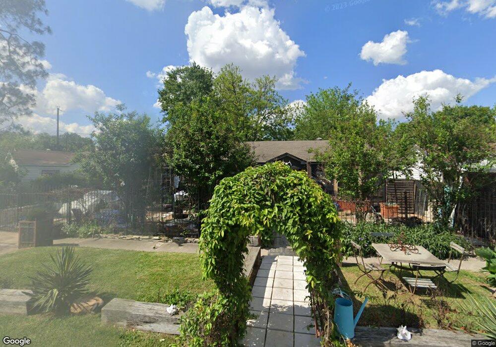
221 Lena Dr Houston, TX 77022
Independence Heights NeighborhoodEstimated Value: $174,720 - $233,000
3
Beds
1
Bath
1,014
Sq Ft
$203/Sq Ft
Est. Value
About This Home
This home is located at 221 Lena Dr, Houston, TX 77022 and is currently estimated at $206,180, approximately $203 per square foot. 221 Lena Dr is a home located in Harris County with nearby schools including Kennedy Elementary School, Williams Middle, and Booker T Washington Sr High.
Ownership History
Date
Name
Owned For
Owner Type
Purchase Details
Closed on
Apr 18, 2024
Sold by
Otis Frances E
Bought by
Price Wendell
Current Estimated Value
Purchase Details
Closed on
May 7, 2022
Sold by
Otis Frances E
Bought by
Price Wendell
Purchase Details
Closed on
Dec 15, 2021
Sold by
Jakubowski Pamela Anderson
Bought by
Price Wendell
Create a Home Valuation Report for This Property
The Home Valuation Report is an in-depth analysis detailing your home's value as well as a comparison with similar homes in the area
Home Values in the Area
Average Home Value in this Area
Purchase History
| Date | Buyer | Sale Price | Title Company |
|---|---|---|---|
| Price Wendell | -- | None Listed On Document | |
| Price Wendell | -- | None Listed On Document | |
| Price Wendell | -- | -- |
Source: Public Records
Tax History Compared to Growth
Tax History
| Year | Tax Paid | Tax Assessment Tax Assessment Total Assessment is a certain percentage of the fair market value that is determined by local assessors to be the total taxable value of land and additions on the property. | Land | Improvement |
|---|---|---|---|---|
| 2025 | $3,352 | $142,437 | $112,530 | $29,907 |
| 2024 | $3,352 | $160,197 | $112,530 | $47,667 |
| 2023 | $2,783 | $138,119 | $90,024 | $48,095 |
| 2022 | $2,879 | $130,748 | $90,024 | $40,724 |
| 2021 | $2,794 | $119,869 | $87,323 | $32,546 |
| 2020 | $1,339 | $55,286 | $42,761 | $12,525 |
| 2019 | $1,356 | $53,594 | $41,861 | $11,733 |
| 2018 | $0 | $38,444 | $26,257 | $12,187 |
| 2017 | $1,425 | $61,997 | $26,257 | $35,740 |
| 2016 | $1,295 | $57,851 | $18,755 | $39,096 |
| 2015 | -- | $48,324 | $18,755 | $29,569 |
| 2014 | -- | $42,332 | $18,755 | $23,577 |
Source: Public Records
Map
Nearby Homes
- 147 Knightsbridge Park Ln
- 144 Knightsbridge Park Ln
- 115 E Thornton Rd
- 303 Victoria Dr
- 0 Victoria Unit 54691087
- 4605 Yale St Unit C
- 4605 Yale St Unit A
- 4605 Yale St Unit J
- 4510 Old Yale St Unit A
- 107 W Whitney St Unit E
- 107 W Whitney St Unit C
- 310 Walthall Dr
- 4423 Yale St
- 320 Thornton Rd
- 312 Walthall Dr
- 219 E Janisch Rd
- 330 Spell St
- 4435 Whitney Oak Ln
- 225 Noras Ln Unit E
- 4707 Thornton Villas Ln