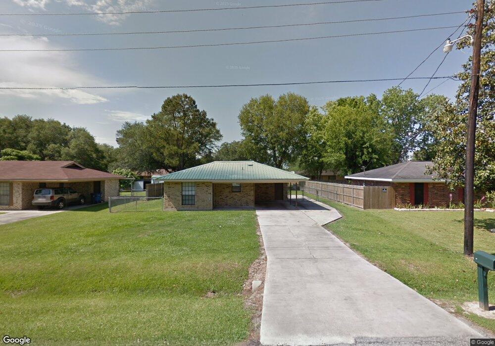
221 Lindsey Cir Carencro, LA 70520
North Lafayette Parish NeighborhoodEstimated Value: $120,000 - $145,000
3
Beds
1
Bath
1,100
Sq Ft
$120/Sq Ft
Est. Value
About This Home
This home is located at 221 Lindsey Cir, Carencro, LA 70520 and is currently estimated at $132,014, approximately $120 per square foot. 221 Lindsey Cir is a home located in Lafayette Parish with nearby schools including Carencro Heights Elementary School, Carencro Middle School, and Carencro High School.
Ownership History
Date
Name
Owned For
Owner Type
Purchase Details
Closed on
Dec 6, 2010
Sold by
Robbins Steven Dale
Bought by
Guilheau Nicole Anne
Current Estimated Value
Home Financials for this Owner
Home Financials are based on the most recent Mortgage that was taken out on this home.
Original Mortgage
$8,000
Outstanding Balance
$5,291
Interest Rate
4.24%
Mortgage Type
Unknown
Estimated Equity
$126,723
Purchase Details
Closed on
May 30, 2006
Sold by
Sylvester Richard G
Bought by
Robbins Steven Dale
Create a Home Valuation Report for This Property
The Home Valuation Report is an in-depth analysis detailing your home's value as well as a comparison with similar homes in the area
Home Values in the Area
Average Home Value in this Area
Purchase History
| Date | Buyer | Sale Price | Title Company |
|---|---|---|---|
| Guilheau Nicole Anne | $58,000 | None Available | |
| Robbins Steven Dale | $75,000 | None Available |
Source: Public Records
Mortgage History
| Date | Status | Borrower | Loan Amount |
|---|---|---|---|
| Open | Guilheau Nicole Anne | $8,000 | |
| Open | Guilheau Nicole Anne | $60,103 |
Source: Public Records
Tax History Compared to Growth
Tax History
| Year | Tax Paid | Tax Assessment Tax Assessment Total Assessment is a certain percentage of the fair market value that is determined by local assessors to be the total taxable value of land and additions on the property. | Land | Improvement |
|---|---|---|---|---|
| 2024 | $26 | $7,797 | $977 | $6,820 |
| 2023 | $26 | $7,577 | $977 | $6,600 |
| 2022 | $667 | $7,577 | $977 | $6,600 |
| 2021 | $622 | $7,030 | $977 | $6,053 |
| 2020 | $621 | $7,030 | $977 | $6,053 |
| 2019 | $590 | $7,030 | $1,000 | $6,030 |
| 2018 | $603 | $7,030 | $1,000 | $6,030 |
| 2017 | $602 | $7,030 | $1,000 | $6,030 |
| 2015 | -- | $7,030 | $1,000 | $6,030 |
| 2013 | -- | $7,030 | $1,000 | $6,030 |
Source: Public Records
Map
Nearby Homes
- 300 Blk 1 Joli Rd
- 300 Blk 2 Joli Rd
- 300 Blk 3 Joli Rd
- 320 Joli Rd
- 326 Herlil Cir
- 114 Herlil Cir
- 1724 Gendarme Rd
- 311 Herlil Cir
- 704 Kilchrist Rd
- 524 Cormier Rd
- 2520 Gendarme Rd
- Tbd Kilchrist Rd
- 110 Rue Cordial
- 719 Wagon Trail Rd
- 400 Rd
- 227 Boss Rd
- 102 Island Nest Cove
- 107 Spanish Oak Dr
- 220 Dunwoody Ct
- 310 Winterfield Dr
- 223 Lindsey Cir
- 219 Lindsey Cir
- 123 Collins Dr
- 121 Collins Dr
- 125 Collins Dr
- 217 Lindsey Cir
- 225 Lindsey Cir
- 220 Lindsey Cir
- 218 Lindsey Cir
- 222 Lindsey Cir
- 119 Collins Dr
- 215 Lindsey Cir
- 227 Lindsey Cir
- 216 Lindsey Cir
- 224 Lindsey Cir
- 117 Collins Dr
- 129 Collins Dr
- 214 Lindsey Cir
- 122 Clem Dr
- 124 Clem Dr