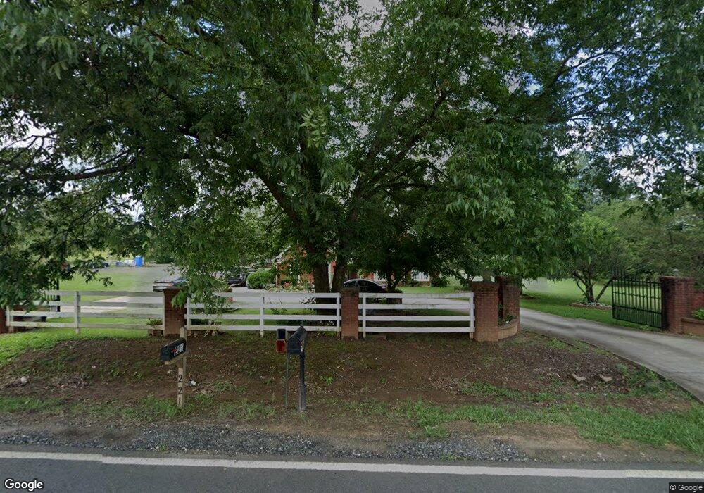
221 Manning Gin Rd Monroe, GA 30656
Estimated Value: $371,138 - $571,000
--
Bed
--
Bath
2,336
Sq Ft
$201/Sq Ft
Est. Value
About This Home
This home is located at 221 Manning Gin Rd, Monroe, GA 30656 and is currently estimated at $468,379, approximately $200 per square foot. 221 Manning Gin Rd is a home located in Barrow County with nearby schools including Bethlehem Elementary School, Haymon-Morris Middle School, and Apalachee High School.
Ownership History
Date
Name
Owned For
Owner Type
Purchase Details
Closed on
Feb 18, 2020
Sold by
Juarez Benjamin
Bought by
Lopez Ana J and Juarez Jacquelin
Current Estimated Value
Purchase Details
Closed on
Aug 8, 2000
Sold by
Justo Adan
Bought by
Juarez Benjamin
Purchase Details
Closed on
Oct 22, 1998
Sold by
Brookshire Steve
Bought by
And Adan Justo
Purchase Details
Closed on
Feb 5, 1997
Sold by
Cenicola James Micha
Bought by
Brookshire Steve
Create a Home Valuation Report for This Property
The Home Valuation Report is an in-depth analysis detailing your home's value as well as a comparison with similar homes in the area
Home Values in the Area
Average Home Value in this Area
Purchase History
| Date | Buyer | Sale Price | Title Company |
|---|---|---|---|
| Lopez Ana J | -- | -- | |
| Juarez Benjamin | $38,000 | -- | |
| And Adan Justo | $30,000 | -- | |
| Brookshire Steve | -- | -- |
Source: Public Records
Tax History Compared to Growth
Tax History
| Year | Tax Paid | Tax Assessment Tax Assessment Total Assessment is a certain percentage of the fair market value that is determined by local assessors to be the total taxable value of land and additions on the property. | Land | Improvement |
|---|---|---|---|---|
| 2024 | $3,016 | $122,628 | $16,036 | $106,592 |
| 2023 | $2,999 | $122,628 | $16,036 | $106,592 |
| 2022 | $2,185 | $76,386 | $16,036 | $60,350 |
| 2021 | $2,067 | $68,216 | $12,829 | $55,387 |
| 2020 | $1,996 | $65,625 | $15,200 | $50,425 |
| 2019 | $2,032 | $65,625 | $15,200 | $50,425 |
| 2018 | $2,009 | $65,625 | $15,200 | $50,425 |
| 2017 | $1,656 | $56,890 | $15,200 | $41,690 |
| 2016 | $1,685 | $55,292 | $15,200 | $40,092 |
| 2015 | $1,693 | $55,292 | $15,200 | $40,092 |
| 2014 | $1,522 | $47,986 | $7,448 | $40,538 |
| 2013 | -- | $45,458 | $7,448 | $38,010 |
Source: Public Records
Map
Nearby Homes
- 303 Carly Ct
- 164 Manning Gin Rd
- 1050 Bethlehem Church Rd
- 966 David Ave
- 784 Manger Ave
- 0 McElhannon Rd SW Unit 10581793
- 0 Manger Ave E Unit 20154677
- 0 Manger Ave E Unit 20127001
- 1235 Dale Dr
- 724 Manger Ave
- 1408 Wyndham Way
- 898 Harrison Mill Rd
- 449 & 455 Carl-Bethlehem Rd
- 797 Ode Peppers Rd
- 3300 Jack Glass Rd
- 259 Dunagan Ct
- 378 Dunagan Ct
- 1224 Palmer Dr
- 182 Nativity Cove
- 633 Skyland Dr
- 213 Manning Gin Rd
- 233 Manning Gin Rd
- 230 Manning Gin Rd
- 203 Tia Ct
- 205 Tia Ct
- 201 Tia Ct Unit 18
- 201 Tia Ct
- 563 Manning Gin Rd
- 206 Tia Ct
- 1162 Yearwood Rd
- 1124 Yearwood Rd
- 1150 Yearwood Rd
- 1030 Tia Dr
- 1032 Tia Dr
- 1032 Tia Dr Unit 1032
- 0 Tia Ct Unit 8728525
- 0 Tia Ct Unit 9005174
- 0 Tia Ct Unit 7021951
- 0 Tia Ct
- 204 Tia Ct