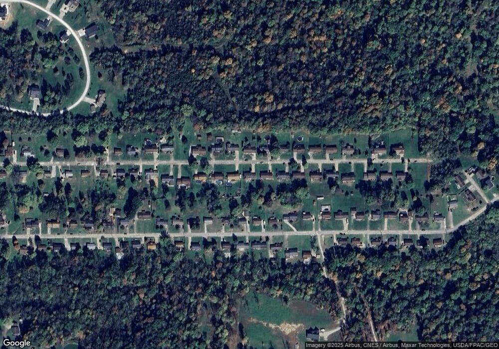
221 Maple Dr Williamstown, WV 26187
Estimated Value: $256,000 - $297,000
3
Beds
4
Baths
2,529
Sq Ft
$106/Sq Ft
Est. Value
About This Home
This home is located at 221 Maple Dr, Williamstown, WV 26187 and is currently estimated at $268,885, approximately $106 per square foot. 221 Maple Dr is a home located in Wood County with nearby schools including Williamstown Elementary School, Williamstown Middle/High School, and Jackson Middle School.
Ownership History
Date
Name
Owned For
Owner Type
Purchase Details
Closed on
May 5, 2022
Sold by
Sinnett Douglas A
Bought by
Ferriott Thomas L
Current Estimated Value
Purchase Details
Closed on
May 1, 2006
Sold by
Uncapher Robert S and Uncapher Kay F
Bought by
Sinnett Douglas A and Sinnett Andrea L
Home Financials for this Owner
Home Financials are based on the most recent Mortgage that was taken out on this home.
Original Mortgage
$152,500
Interest Rate
6.42%
Create a Home Valuation Report for This Property
The Home Valuation Report is an in-depth analysis detailing your home's value as well as a comparison with similar homes in the area
Purchase History
| Date | Buyer | Sale Price | Title Company |
|---|---|---|---|
| Ferriott Thomas L | $210,000 | Golden & Amos Pllc | |
| Sinnett Douglas A | -- | None Available |
Source: Public Records
Mortgage History
| Date | Status | Borrower | Loan Amount |
|---|---|---|---|
| Previous Owner | Sinnett Douglas A | $152,500 |
Source: Public Records
Tax History
| Year | Tax Paid | Tax Assessment Tax Assessment Total Assessment is a certain percentage of the fair market value that is determined by local assessors to be the total taxable value of land and additions on the property. | Land | Improvement |
|---|---|---|---|---|
| 2025 | $1,640 | $138,180 | $21,960 | $116,220 |
| 2024 | $1,640 | $130,740 | $21,300 | $109,440 |
| 2023 | $1,555 | $122,760 | $19,980 | $102,780 |
| 2022 | $1,314 | $119,040 | $18,660 | $100,380 |
| 2021 | $1,292 | $116,520 | $18,660 | $97,860 |
| 2020 | $1,240 | $111,360 | $17,340 | $94,020 |
| 2019 | $1,266 | $110,040 | $17,340 | $92,700 |
| 2018 | $1,284 | $108,600 | $17,340 | $91,260 |
| 2017 | $1,250 | $105,060 | $17,340 | $87,720 |
| 2016 | $1,137 | $103,080 | $17,340 | $85,740 |
| 2015 | $1,118 | $101,280 | $16,680 | $84,600 |
| 2014 | $1,078 | $97,560 | $14,640 | $82,920 |
Source: Public Records
Map
Nearby Homes
- 13533 Emerson Ave
- 2545 Williamstown Pike
- 0 N Burnt Hill Rd Unit 5181118
- 477 Burnt Hill Rd
- 26 Parmetta Cir
- 110 Sierra Dr
- 43 3rd St
- 26436 State Route 7
- 305 Summit Rd
- 0 Granada Dr
- 19 Sherman Dr
- 0 Granada Cir
- 151 Granada Cir
- 1341 Highland Ave
- 41 Burl Rd
- 127 Rauch Dr
- 145 Cornerstone Dr
- 103 W 9th St
- 9 Henderson Ln
- 1585 County Road 9
Your Personal Tour Guide
Ask me questions while you tour the home.
