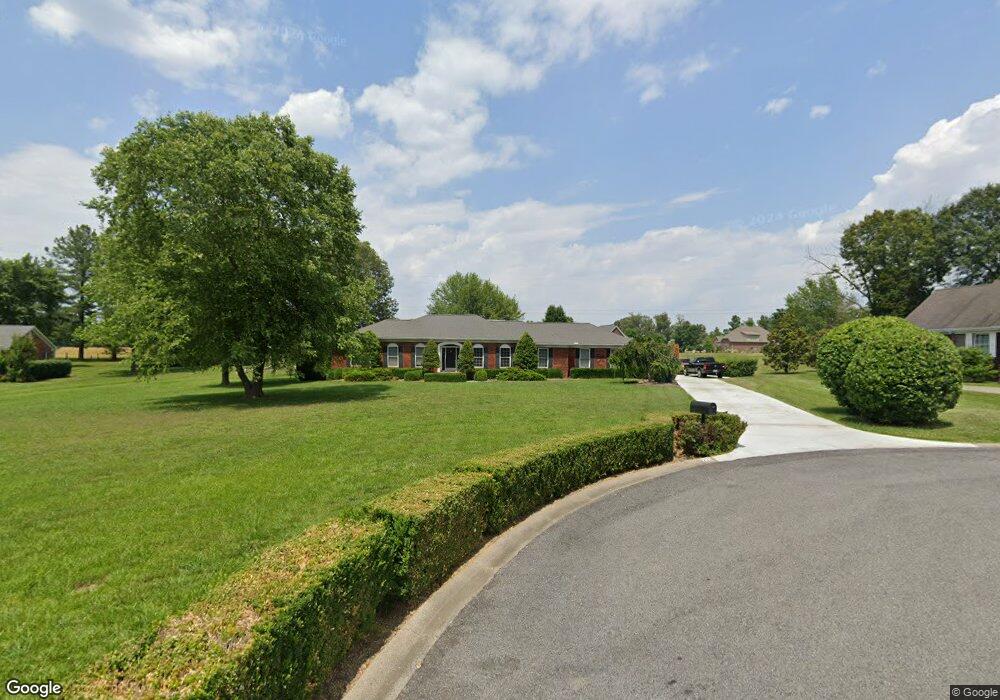
221 Matthew Dr Paducah, KY 42001
Estimated Value: $278,000 - $393,000
3
Beds
2
Baths
1,843
Sq Ft
$173/Sq Ft
Est. Value
About This Home
This home is located at 221 Matthew Dr, Paducah, KY 42001 and is currently estimated at $319,461, approximately $173 per square foot. 221 Matthew Dr is a home located in McCracken County with nearby schools including Concord Elementary School, Heath Middle School, and McCracken County High School.
Ownership History
Date
Name
Owned For
Owner Type
Purchase Details
Closed on
Mar 23, 2020
Sold by
Elizabeth Crane and Elizabeth Mclane
Bought by
Berry Jeffrey and Berry Tamara
Current Estimated Value
Home Financials for this Owner
Home Financials are based on the most recent Mortgage that was taken out on this home.
Original Mortgage
$248,018
Outstanding Balance
$219,236
Interest Rate
3.4%
Mortgage Type
VA
Estimated Equity
$100,225
Create a Home Valuation Report for This Property
The Home Valuation Report is an in-depth analysis detailing your home's value as well as a comparison with similar homes in the area
Home Values in the Area
Average Home Value in this Area
Purchase History
| Date | Buyer | Sale Price | Title Company |
|---|---|---|---|
| Berry Jeffrey | $239,400 | Mcmurry & Livingston Pllc |
Source: Public Records
Mortgage History
| Date | Status | Borrower | Loan Amount |
|---|---|---|---|
| Open | Berry Jeffrey | $248,018 |
Source: Public Records
Tax History Compared to Growth
Tax History
| Year | Tax Paid | Tax Assessment Tax Assessment Total Assessment is a certain percentage of the fair market value that is determined by local assessors to be the total taxable value of land and additions on the property. | Land | Improvement |
|---|---|---|---|---|
| 2024 | $2,379 | $239,400 | $0 | $0 |
| 2023 | $2,341 | $239,400 | $0 | $0 |
| 2022 | $2,379 | $239,400 | $0 | $0 |
| 2021 | $2,377 | $239,400 | $0 | $0 |
| 2020 | $2,286 | $230,000 | $0 | $0 |
| 2019 | $2,277 | $230,000 | $0 | $0 |
| 2018 | $1,188 | $121,400 | $0 | $0 |
| 2017 | $1,512 | $159,000 | $0 | $0 |
| 2016 | $1,512 | $159,000 | $0 | $0 |
| 2015 | $1,461 | $159,000 | $0 | $0 |
| 2013 | $1,461 | $159,000 | $0 | $0 |
| 2012 | $1,461 | $159,000 | $0 | $0 |
Source: Public Records
Map
Nearby Homes
- 6420 Meadowview Ct
- 2098 Deerhaven Ln
- 2201 New Holt Rd Unit Tract B-1
- 1800 Pear Tree Ln
- 5370 Waterfront Way Unit Lot 4 Olivet Estates
- 161 Hunter's Ridge Dr
- 210 Hunter's Ridge Dr
- 6212 La Barri Ln
- 6218 La Barri Ln
- 6224 La Barri Ln
- 6230 La Barri Ln
- 2700 W Park Dr Unit Lot 10 W Park Villa
- 2780 W Park Dr Unit Lot 5 W Park Villag
- 2740 W Park Dr Unit Lot 4 W Park Villag
- 2720 W Park Dr Unit Lot 3 W Park Villag
- 2549 New Holt Rd
- 0 New Holt Rd
- 5360 Us Highway 60 W
- 200 Troon Rd
- 120 Carnoustie Ct
- 231 Matthew Dr
- 201 Matthew Dr
- 220 Matthew Dr
- 1861 Deerhaven Ln
- 161 Matthew Dr
- 210 Matthew Dr
- 6524 Honeysuckle Ln
- 200 Matthew Dr
- 1925 Deerhaven Ln
- 6475 Foxborough
- 151 Matthew Dr
- 1851 Deerhaven Ln
- 1851 Deerhaven Ln
- 1904 Deerhaven Ln
- 6475 Foxboro Ct
- 1920 Deerhaven Ln
- 7040 Fox Borough Ct
- 1945 Deerhaven Ln
- 160 Matthew Dr
- 1845 Deerhaven Ln