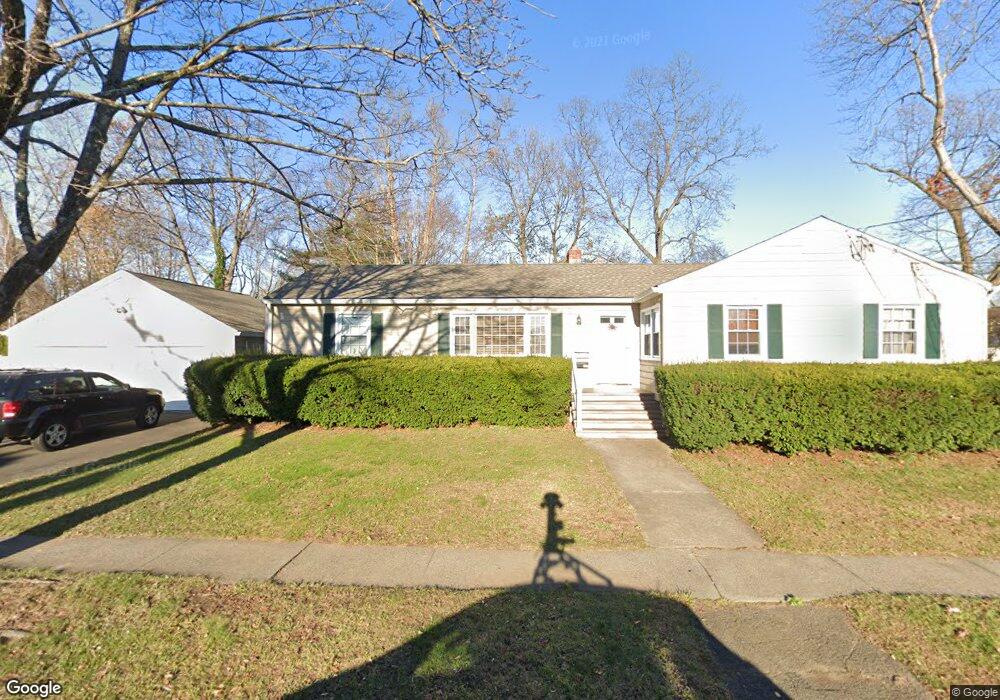
221 Millard St Fairfield, CT 06824
Fairfield Beach NeighborhoodEstimated Value: $925,000 - $1,184,000
4
Beds
4
Baths
2,028
Sq Ft
$518/Sq Ft
Est. Value
About This Home
This home is located at 221 Millard St, Fairfield, CT 06824 and is currently estimated at $1,049,601, approximately $517 per square foot. 221 Millard St is a home located in Fairfield County with nearby schools including Roger Sherman Elementary School, Roger Ludlowe Middle School, and Fairfield Ludlowe High School.
Ownership History
Date
Name
Owned For
Owner Type
Purchase Details
Closed on
Nov 26, 2024
Sold by
Conklin Frelt and Conklin C
Bought by
Conklin Irt and Gorton
Current Estimated Value
Purchase Details
Closed on
Dec 16, 2010
Sold by
Conklin Frederick S and Conklin Nancy P
Bought by
Conklin Tr Frederick S and Conklin Nancy P
Purchase Details
Closed on
May 22, 2007
Sold by
Jolly William A
Bought by
Conklin Frederick S and Conklin Nancy P
Purchase Details
Closed on
May 19, 2006
Sold by
Demarest Tr Wilma A
Bought by
Jolly William A
Create a Home Valuation Report for This Property
The Home Valuation Report is an in-depth analysis detailing your home's value as well as a comparison with similar homes in the area
Home Values in the Area
Average Home Value in this Area
Purchase History
| Date | Buyer | Sale Price | Title Company |
|---|---|---|---|
| Conklin Irt | -- | None Available | |
| Conklin Irt | -- | None Available | |
| Conklin Tr Frederick S | -- | -- | |
| Conklin Tr Frederick S | -- | -- | |
| Conklin Frederick S | $600,000 | -- | |
| Conklin Frederick S | $600,000 | -- | |
| Jolly William A | $600,000 | -- | |
| Jolly William A | $600,000 | -- |
Source: Public Records
Tax History Compared to Growth
Tax History
| Year | Tax Paid | Tax Assessment Tax Assessment Total Assessment is a certain percentage of the fair market value that is determined by local assessors to be the total taxable value of land and additions on the property. | Land | Improvement |
|---|---|---|---|---|
| 2025 | $12,542 | $441,770 | $305,970 | $135,800 |
| 2024 | $12,325 | $441,770 | $305,970 | $135,800 |
| 2023 | $12,153 | $441,770 | $305,970 | $135,800 |
| 2022 | $12,034 | $441,770 | $305,970 | $135,800 |
| 2021 | $11,919 | $441,770 | $305,970 | $135,800 |
| 2020 | $9,200 | $343,420 | $240,590 | $102,830 |
| 2019 | $9,200 | $343,420 | $240,590 | $102,830 |
| 2018 | $9,053 | $343,420 | $240,590 | $102,830 |
| 2017 | $8,867 | $343,420 | $240,590 | $102,830 |
| 2016 | $8,740 | $343,420 | $240,590 | $102,830 |
| 2015 | $7,904 | $318,850 | $211,610 | $107,240 |
| 2014 | $7,780 | $318,850 | $211,610 | $107,240 |
Source: Public Records
Map
Nearby Homes
- 345 Reef Rd Unit B6
- 345 Reef Rd Unit C9
- 137 Millard St
- 196 Catherine Terrace
- 35 Millard St
- 294 Catherine Terrace
- 378 Penfield Rd
- 394 Penfield Rd
- 783 Reef Rd
- 127 Paul Place
- 2 Mellow St
- 465 Edward St
- 260 Birch Rd
- 226 Ruane St
- 748 Rowland Rd
- 65 Thorpe St Unit 65
- 65 Thorpe St
- 245 Unquowa Rd Unit 34
- 245 Unquowa Rd Unit 11
- 245 Unquowa Rd Unit 33
- 203 Millard St
- 180 Smith St
- 200 Smith St
- 230 Millard St
- 230 Millard St Unit A
- 230 Millard St Unit 230
- 206 Millard St
- 160 Smith St
- 144 Smith St
- 194 Millard St
- 275 Paulding St
- 185 Smith St
- 235 Millard St Unit 2C
- 235 Millard St Unit 33
- 235 Millard St Unit 3C
- 235 Millard St Unit 3
- 235 Millard St Unit 4C
- 235 Millard St Unit 1C
- 235 Millard St
- 261 Millard St Unit 2B