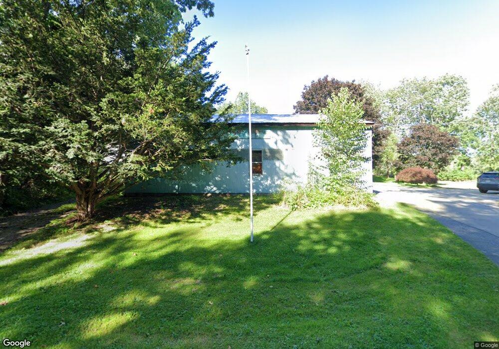
221 Muschopauge Rd Jefferson, MA 01522
Estimated Value: $469,000 - $536,404
3
Beds
2
Baths
1,574
Sq Ft
$319/Sq Ft
Est. Value
About This Home
This home is located at 221 Muschopauge Rd, Jefferson, MA 01522 and is currently estimated at $502,601, approximately $319 per square foot. 221 Muschopauge Rd is a home located in Worcester County with nearby schools including Wachusett Regional High School.
Ownership History
Date
Name
Owned For
Owner Type
Purchase Details
Closed on
Aug 13, 2010
Sold by
Gove Grace E Est and Erickson Kennider M
Bought by
Floyd David P and Floyd Heidi J
Current Estimated Value
Home Financials for this Owner
Home Financials are based on the most recent Mortgage that was taken out on this home.
Original Mortgage
$193,500
Outstanding Balance
$128,503
Interest Rate
4.63%
Mortgage Type
Purchase Money Mortgage
Estimated Equity
$374,098
Create a Home Valuation Report for This Property
The Home Valuation Report is an in-depth analysis detailing your home's value as well as a comparison with similar homes in the area
Home Values in the Area
Average Home Value in this Area
Purchase History
| Date | Buyer | Sale Price | Title Company |
|---|---|---|---|
| Floyd David P | $215,000 | -- |
Source: Public Records
Mortgage History
| Date | Status | Borrower | Loan Amount |
|---|---|---|---|
| Open | Floyd David P | $193,500 |
Source: Public Records
Tax History Compared to Growth
Tax History
| Year | Tax Paid | Tax Assessment Tax Assessment Total Assessment is a certain percentage of the fair market value that is determined by local assessors to be the total taxable value of land and additions on the property. | Land | Improvement |
|---|---|---|---|---|
| 2025 | $6,262 | $451,800 | $167,200 | $284,600 |
| 2024 | $5,896 | $416,700 | $162,400 | $254,300 |
| 2023 | $5,975 | $398,600 | $141,100 | $257,500 |
| 2022 | $5,849 | $353,200 | $110,300 | $242,900 |
| 2021 | $4,388 | $252,200 | $105,100 | $147,100 |
| 2020 | $4,187 | $246,300 | $100,300 | $146,000 |
| 2019 | $4,041 | $231,600 | $100,300 | $131,300 |
| 2018 | $3,809 | $216,300 | $95,500 | $120,800 |
| 2017 | $3,646 | $207,300 | $95,500 | $111,800 |
| 2016 | $3,500 | $202,900 | $91,100 | $111,800 |
| 2015 | $3,595 | $198,400 | $91,100 | $107,300 |
| 2014 | $3,522 | $198,400 | $91,100 | $107,300 |
Source: Public Records
Map
Nearby Homes
- 2334 Main St
- 61 Old Broad St
- 15 Summer Hill Dr
- 6 Hickory Dr
- 1818 Main St Unit 316
- 146 Wachusett St
- 29 Prescott St
- 139 E County Rd Unit 139
- 147 E County Rd Unit 149
- 40 Princeton St
- 27 Lewis St
- 35 Laurelwood Rd
- 21 Lewis St
- 11 Lewis St
- 12 Lewis St
- 95 Maple Ave
- 6 Lewis St
- 184 E County Rd
- 3 Forest Hill Dr
- 6 Ten Rod Rd
- 263 Muschopauge Rd
- 199 Muschopauge Rd
- 134 Muschopauge Rd
- 100 Millbrook St
- 75 Muschopauge Rd
- 149 Cannon Rd
- 119 Cannon Rd
- 165 Cannon Rd
- 129 Cannon Rd
- 0 Cannon Rd Unit 71721406
- 0 Cannon Rd Unit 30059186
- Lot G Broad St
- 139 Cannon Rd
- 88 Cannon Rd
- 60 Muschopauge Rd
- 100 Cutler Rd
- 2226 Main St
- 20 Parsons Rd
- 20 Parsons Rd
- 2206 Main St