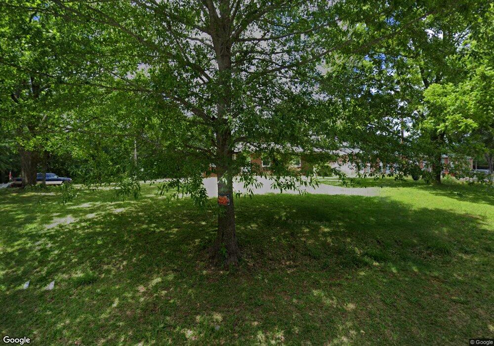
221 N Laurel St Walhalla, SC 29691
Estimated Value: $174,000 - $242,000
3
Beds
1
Bath
1,150
Sq Ft
$180/Sq Ft
Est. Value
About This Home
This home is located at 221 N Laurel St, Walhalla, SC 29691 and is currently estimated at $206,833, approximately $179 per square foot. 221 N Laurel St is a home with nearby schools including James M. Brown Elementary School, Walhalla Middle School, and Walhalla High School.
Ownership History
Date
Name
Owned For
Owner Type
Purchase Details
Closed on
Apr 29, 2025
Sold by
Johnson Charles William
Bought by
Johnson Charles William and Johnson Cynthia Renee
Current Estimated Value
Purchase Details
Closed on
Sep 3, 2024
Sold by
Clerk Of Court For Oconee County
Bought by
Johnson Charles W
Purchase Details
Closed on
Feb 17, 2011
Sold by
Johnson Charles W
Bought by
Patterson Jerry A and Patterson Linda J
Create a Home Valuation Report for This Property
The Home Valuation Report is an in-depth analysis detailing your home's value as well as a comparison with similar homes in the area
Home Values in the Area
Average Home Value in this Area
Purchase History
| Date | Buyer | Sale Price | Title Company |
|---|---|---|---|
| Johnson Charles William | -- | None Listed On Document | |
| Johnson Charles William | -- | None Listed On Document | |
| Johnson Charles W | $110,000 | None Listed On Document | |
| Johnson Charles W | $110,000 | None Listed On Document | |
| Patterson Jerry A | $75,000 | -- |
Source: Public Records
Mortgage History
| Date | Status | Borrower | Loan Amount |
|---|---|---|---|
| Closed | Patterson Jerry A | $0 |
Source: Public Records
Tax History Compared to Growth
Tax History
| Year | Tax Paid | Tax Assessment Tax Assessment Total Assessment is a certain percentage of the fair market value that is determined by local assessors to be the total taxable value of land and additions on the property. | Land | Improvement |
|---|---|---|---|---|
| 2025 | $2,106 | $4,635 | $2,089 | $2,546 |
| 2024 | $502 | $4,635 | $2,089 | $2,546 |
| 2023 | $493 | $4,635 | $2,089 | $2,546 |
| 2022 | $493 | $4,635 | $2,089 | $2,546 |
| 2021 | $614 | $4,363 | $1,929 | $2,434 |
| 2020 | $256 | $0 | $0 | $0 |
| 2019 | $256 | $0 | $0 | $0 |
| 2018 | $955 | $0 | $0 | $0 |
| 2017 | $614 | $0 | $0 | $0 |
| 2016 | $614 | $0 | $0 | $0 |
| 2015 | -- | $0 | $0 | $0 |
| 2014 | -- | $4,297 | $2,172 | $2,125 |
| 2013 | -- | $0 | $0 | $0 |
Source: Public Records
Map
Nearby Homes
- 804 W North Broad St
- 606 W South Broad St
- 223 N Dogwood Dr
- 00 N Church St
- 301 Shadybrook Dr Unit B
- 606 N Poplar St
- 412 N Spring St
- 101 Hazelwood Way
- 00 S Spring St
- Tract B Bobolink Dr
- 711 Campbell Town Rd
- 320 Jaynes St
- 2423 Westminster Hwy
- 316 Briar Creek Rd
- 545 Knollington Dr
- 1050 Highlands Hwy
- 203 Tulip Dr
- 00 Keowee St
- 208 Branch St
- 00 Fox Run Rd
- 209 N Laurel St
- 501 Ardashir Ln
- 207 N Laurel St
- 520 Ardashir Ln
- 205 N Laurel St
- 219 Medlin St
- 217 Medlin St
- 209 Medlin St
- 1016 W North Broad St
- 201 N Laurel St
- 1004 W North Broad St
- 908 W North Broad St
- 384 E Woodland Dr
- 383 E Woodland Dr
- 403 N Laurel St
- 210 Medlin St
- 330 E Woodland Dr
- 101 N Laurel St
- 355 E Woodland Dr
- 251 N Poplar St