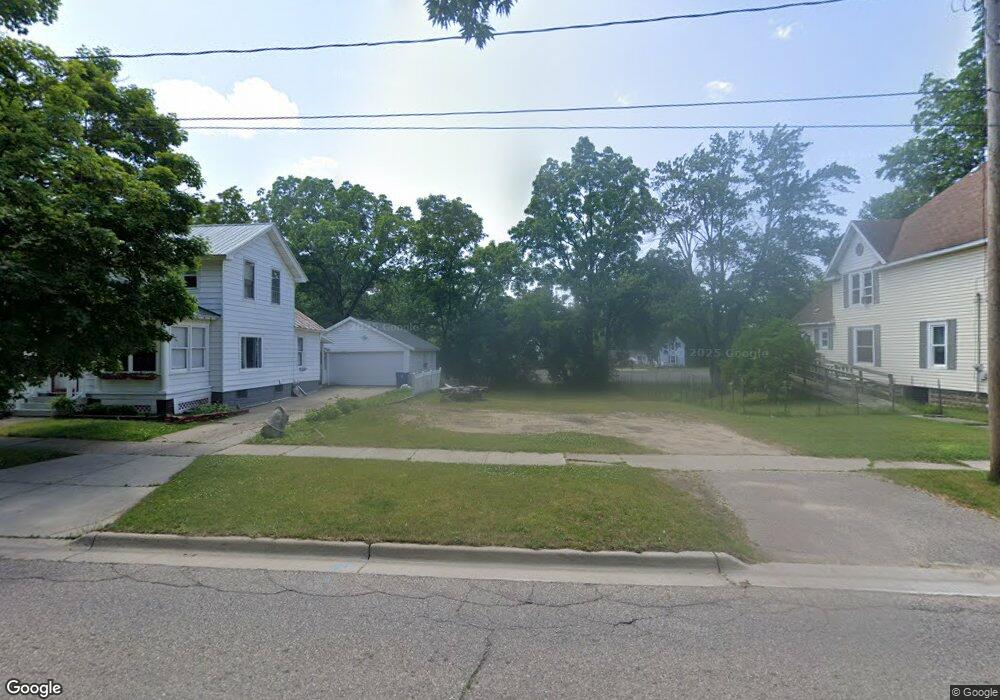
221 N Main St Allegan, MI 49010
Estimated Value: $116,347 - $358,000
3
Beds
1
Bath
1,350
Sq Ft
$154/Sq Ft
Est. Value
About This Home
This home is located at 221 N Main St, Allegan, MI 49010 and is currently estimated at $207,449, approximately $153 per square foot. 221 N Main St is a home located in Allegan County with nearby schools including North Ward Elementary School, L.E. White Middle School, and Allegan High School.
Ownership History
Date
Name
Owned For
Owner Type
Purchase Details
Closed on
Jul 19, 2016
Sold by
Allegan County
Bought by
City Of Allegan
Current Estimated Value
Purchase Details
Closed on
Feb 23, 2016
Sold by
Mihm Ruth
Bought by
Mihm John
Purchase Details
Closed on
May 7, 2005
Sold by
Mihm John and Mihm Ruth
Bought by
Obuchowski William and Obuchowski Gale
Purchase Details
Closed on
Oct 1, 2003
Sold by
Mihm John and Mihm Ruth
Bought by
Vasquez Daniel and Cole Autumn
Purchase Details
Closed on
May 14, 1999
Sold by
Dendel Wilfred Jack and Dendel Rose B
Bought by
Mihm John and Mihm Ruth
Purchase Details
Closed on
Nov 7, 1997
Bought by
Mihm John and Mihm Ruth
Create a Home Valuation Report for This Property
The Home Valuation Report is an in-depth analysis detailing your home's value as well as a comparison with similar homes in the area
Home Values in the Area
Average Home Value in this Area
Purchase History
| Date | Buyer | Sale Price | Title Company |
|---|---|---|---|
| City Of Allegan | $9,500 | None Available | |
| Mihm John | -- | Attorney | |
| Obuchowski William | -- | -- | |
| Vasquez Daniel | $49,000 | -- | |
| Mihm John | -- | -- | |
| Mihm John | -- | -- | |
| Mihm John | $4,000 | -- |
Source: Public Records
Tax History Compared to Growth
Tax History
| Year | Tax Paid | Tax Assessment Tax Assessment Total Assessment is a certain percentage of the fair market value that is determined by local assessors to be the total taxable value of land and additions on the property. | Land | Improvement |
|---|---|---|---|---|
| 2025 | -- | $0 | $0 | $0 |
| 2024 | -- | $0 | $0 | $0 |
| 2023 | -- | $0 | $0 | $0 |
| 2022 | $0 | $0 | $0 | $0 |
| 2021 | -- | $0 | $0 | $0 |
| 2020 | $0 | $0 | $0 | $0 |
| 2019 | $0 | $0 | $0 | $0 |
| 2018 | $0 | $0 | $0 | $0 |
| 2017 | $0 | $0 | $4,000 | $0 |
| 2016 | $0 | $17,900 | $4,000 | $13,900 |
| 2015 | -- | $17,900 | $4,000 | $13,900 |
| 2014 | -- | $18,400 | $4,000 | $14,400 |
| 2013 | $1,575 | $18,800 | $4,000 | $14,800 |
Source: Public Records
Map
Nearby Homes